Ashtabula in Ashtabula County, Ohio — The American Midwest (Great Lakes)
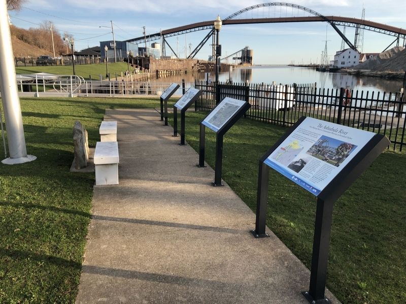
The Ashtabula River
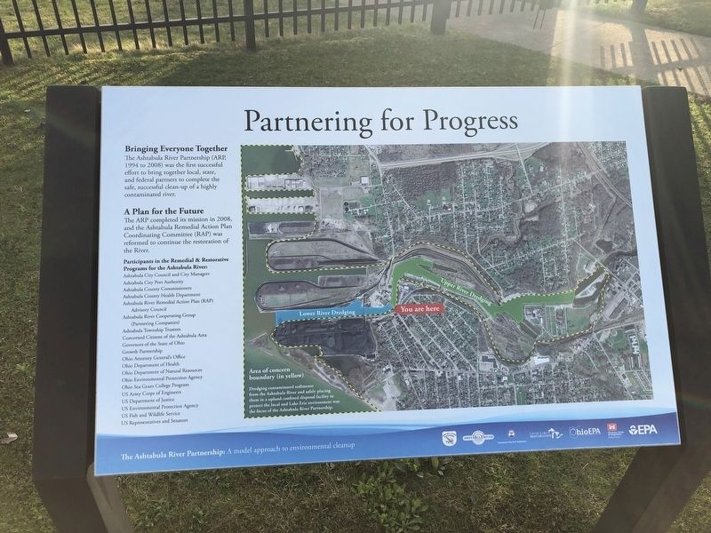
From Shipping Mecca to Contaminated Waterway to Revitalized Harbor
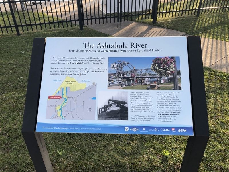
The Ashtabula River became a shipping hub over the following centuries. Expanding industrial uses brought environmental degradation that reduced harbor activity.
Up to 19 industrial facilities operated near Fields Brook during the height of the industry in the 1950s, producing metal products and chemicals. A lack of environmental regulations led to unregulated discharges of Polychlorinated Biphenyls (PCBs) into Fields Brook, seriously contaminated the Ashtabula River.
In the 1970s, passage of the Clean Water Act improved water quality considerably, but sediments remained contaminated in both waterways. Fields Brook was remediated in 1996 under the federal Superfund program, but safe removal of the contaminated Ashtabula River sediments remained a challenge. Ashtabula River was named one of the 43 most contaminated areas of concern in the Great Lakes. The Ashtabula River Remedial Action Plan (RAP), organized in 1988, continued to work
this page online
Erected by The Ashtabula River Partnership.
Topics. This historical marker is listed in these topic lists: Environment • Indigenous Peoples and Communities • Industry & Commerce • Waterways & Vessels. A significant historical year for this entry is 1996.
Location. 41° 54.027′ N, 80° 47.892′ W. Marker is in Ashtabula, Ohio, in Ashtabula County. It is at the intersection of Bridge Street (Ohio Route 531) and Morton Drive, on the right when traveling west on Bridge Street. Touch for map. Marker is in this post office area: Ashtabula OH 44004, United States of America. Touch for directions.

Regionally, this marker is on the Lake Erie Shore and in the Western Reserve. It is also in the American Midwest. Globally, it is in North America, on the Great Lakes, in the Western Hemisphere, in the Western World, and in the Anglosphere. Historically, it finds itself in what was once the Haudenosaunee (Iroquois) Confederacy, the territory of the Mississippian Culture, and the Northwest Territory.
Other nearby markers. At least 8 other markers are within walking distance of this marker:
Credits. This page was last revised on April 17, 2019. It was originally submitted on April 17, 2019, by Devry Becker Jones of Washington, District of Columbia. This page has been viewed 841 times since then and 83 times this year. Photos: 1, 2, 3, 4, 5, 6. submitted on April 17, 2019, by Devry Becker Jones of Washington, District of Columbia.
