Six Mile in Pickens County, South Carolina — The American South (South Atlantic)
Cherokee Path
Inscription.
(side 1)
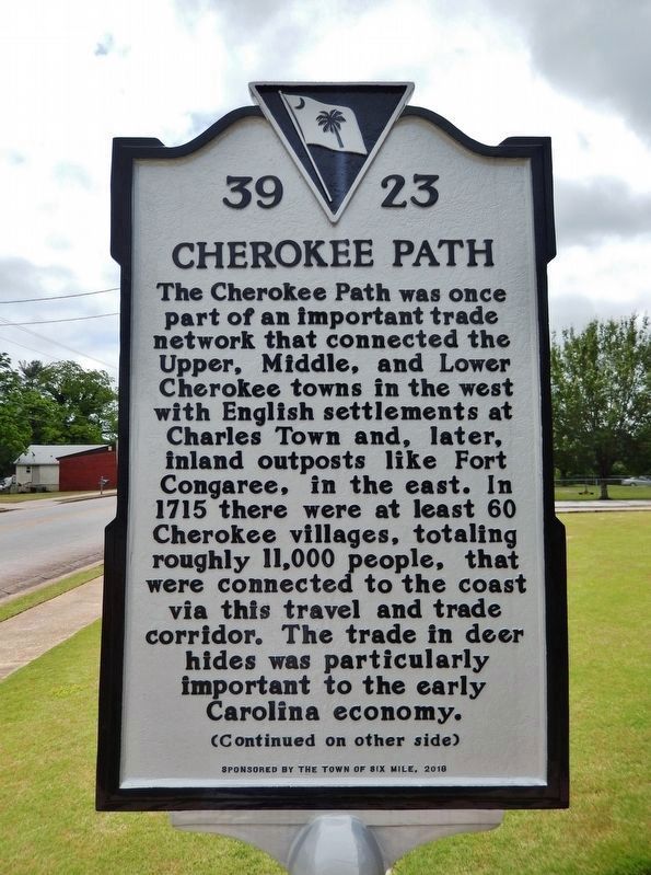
The Cherokee Path was once part of an important trade network that connected the Upper, Middle, and Lower Cherokee towns in the west with English settlements at Charles Town and, later, inland outposts like Fort Congaree, in the east. In 1715 there were at least 60 Cherokee villages, totaling roughly 11,000 people, that were connected to the coast via this travel and trade corridor. The trade in deer hides was particularly important to the early Carolina economy.
(side 2)
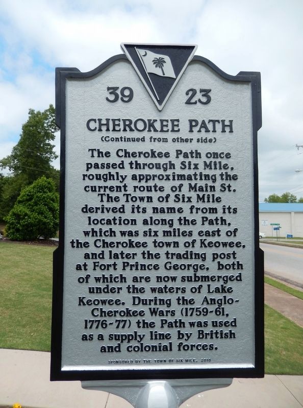
The Cherokee Path once passed through Six Mile, roughly approximating the current route of Main St. The Town of Six Mile derived its name from its location along the Path, which was six miles east of the Cherokee town of Keowee, and later the trading post at Fort Prince George, both of which are now submerged under the waters of Lake Keowee. During the Anglo-Cherokee Wars (1759-61, 1776-77) the Path was used as a supply line by British and colonial forces.
Erected 2018 by The Town of Six Mile. (Marker Number 39-23.)
Topics. This historical marker is listed in these topic lists: Colonial Era • Native Americans • Roads & Vehicles • Wars, US Indian. A significant historical year for this entry is 1715.
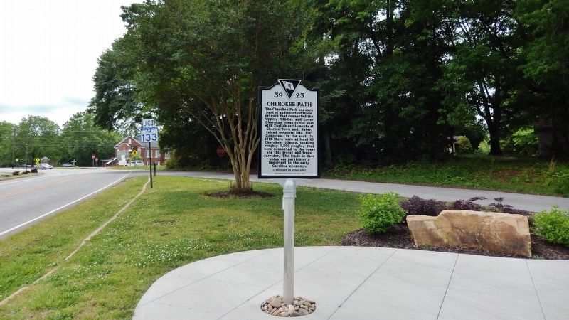
Location. 34° 48.251′ N, 82° 49.118′ W. Marker is in Six Mile, South Carolina, in Pickens County. Marker is on South Main Street (State Highway 133) south of Liberty Highway, on the right when traveling south. Marker is located beside the sidewalk, directly in front of Six Mile Town Hall, adjacent to the large Six Mile Town Hall sign. Touch for map. Marker is at or near this postal address: 106 South Main Street, Six Mile SC 29682, United States of America. Touch for directions.
Other nearby markers. At least 8 other markers are within 6 miles of this marker, measured as the crow flies. Six Mile Veterans Monument (a few steps from this marker); Furman L. Smith Memorial Highway (approx. half a mile away); Old Pickens Presbyterian Church (approx. 3.9 miles away); Old Pickens Church (approx. 3.9 miles away); a different marker also named Old Pickens Presbyterian Church (approx. 3.9 miles away); Andrew Pickens (approx. 3.9 miles away); Henry Craig (approx. 4 miles away); Fort Prince George (approx. 5.1 miles away). Touch for a list and map of all markers in Six Mile.
More about this marker. There are two identical "Cherokee Path" markers to be found in the town of Six Mile. In addition to this one, in front of Six Mile Town Hall, an identical copy is located 3/10 mile north, at the north end of Six Mile, in a small triangular plaza at the intersection of North Main Street & Lusk Road. The coordinates of the second marker location
are: 34°48'30.6"N, 82°49'12.2"W.
Also see . . .
1. Cherokee Path (Wikipedia). The path was mapped in 1730 by George Hunter, the Surveyor-General of the Province of South Carolina. At that time it ran 130 miles from Charlestown to the colonial settlement of Ninety Six, then to Fort Prince George and the Cherokee village of Keowee. (Submitted on May 8, 2019, by Cosmos Mariner of Cape Canaveral, Florida.)
2. Historic Cherokee Path route discovered in Six Mile. From Main Street, Six Mile, the Cherokee Path ran along the route that is now Norris Highway. Old Pendleton Road branched off toward Clemson. A trail called the Warrior Path ran into the Cherokee Path where State 133 and North Main Street now run together at Six Mile Baptist Church. The Cherokee Path is particularly important in South Carolina’s history – so much so that one of the colonial governors called it “the key to Carolina.” (Submitted on May 8, 2019, by Cosmos Mariner of Cape Canaveral, Florida.)
Credits. This page was last revised on June 7, 2019. It was originally submitted on May 8, 2019, by Cosmos Mariner of Cape Canaveral, Florida. This page has been viewed 494 times since then and 46 times this year. Photos: 1, 2, 3, 4. submitted on May 8, 2019, by Cosmos Mariner of Cape Canaveral, Florida.


