Belhaven in Jackson in Hinds County, Mississippi — The American South (East South Central)
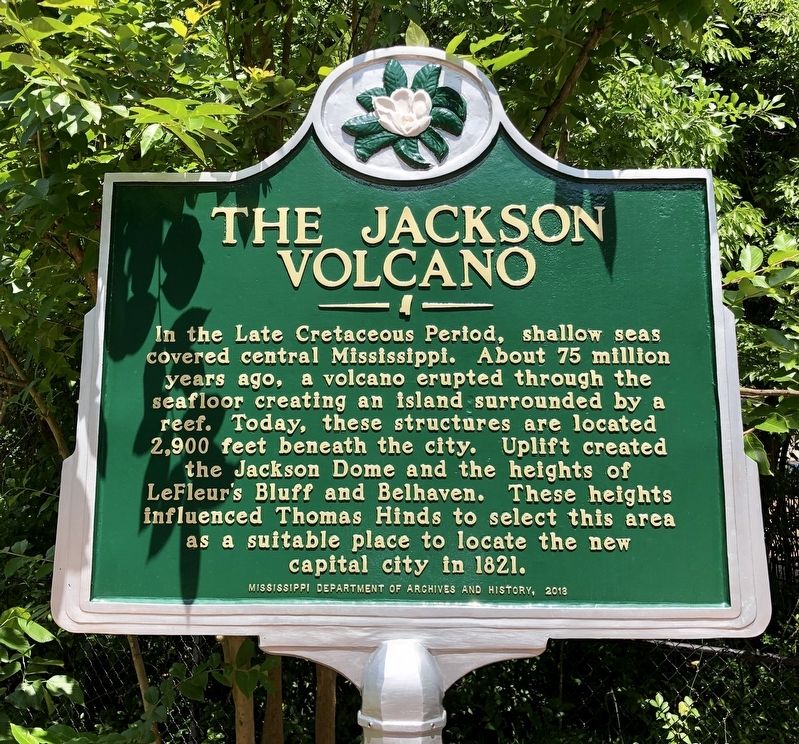
The Jackson Volcano
Erected 2018 by the Mississippi Department of Archives and History.
Topics and series. This historical marker is listed in these topic lists: Environment • Natural Features • Notable Events. In addition, it is included in the Mississippi State Historical Marker Program series list. A significant historical year for this entry is 1821.
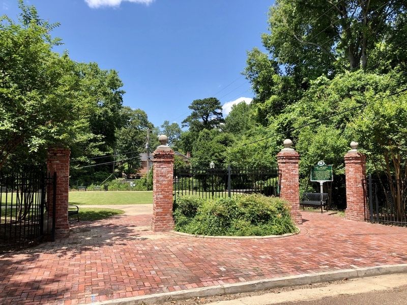
Location. 32° 18.91′ N, 90° 10.415′ W. Marker is in Jackson, Mississippi, in Hinds County. It is in Belhaven. Marker is at the intersection of Poplar Boulevard and Kenwood Place, on the left when traveling east on Poplar Boulevard. Located at entrance to Belhaven Park on right. Touch for map. Marker is at or near this postal address: 1000 Poplar Boulevard, Jackson MS 39202, United States of America. Touch for directions.
Other nearby markers. At least 8 other markers are within walking distance of this marker. Shady Nook (about 400 feet away, measured in a direct line); Kennington's Mansion (about 700 feet away); Gillespie Farm (about 700 feet away); Jitney 14 (approx. 0.2 miles away); Willie Morris (approx. 0.2 miles away); Moody's Branch Formation (approx. 0.2 miles away); Belhaven University (approx. ¼ mile away); Eudora Welty House (approx. ¼ mile away). Touch for a list and map of all markers in Jackson.
Also see . . . The New Southern View-Jackson's Hidden Volcano. (Submitted on May 16, 2019, by Mark Hilton of Montgomery, Alabama.)
Credits. This page was last revised on February 16, 2023. It was originally submitted on May 16, 2019, by Mark Hilton of Montgomery, Alabama. This page has been viewed 1,243 times since then and 117 times this year. Photos: 1, 2. submitted on May 16, 2019, by Mark Hilton of Montgomery, Alabama.

