Near Washington in Rappahannock County, Virginia — The American South (Mid-Atlantic)
Come Back When You Have More Time
Shenandoah National Park
Photographed by Cosmos Mariner, May 17, 2019
1. Come Back When You Have More Time Marker
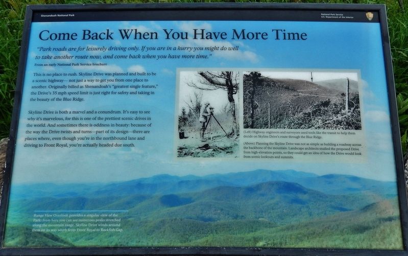
From an early National Park Service brochure
This is no place to rush. Skyline Drive was planned and built to be a scenic highway— not just a way to get you from one place to another. Originally billed as Shenandoah's "greatest single feature," the Drive's 35 mph speed limit is just right for safety and taking in the beauty of the Blue Ridge.
Skyline Drive is both a marvel and a conundrum. It's easy to see why it's marvelous, for this is one of the prettiest scenic drives in the world. And sometimes there is oddness in beauty: because of the way the Drive twists and turns—part of its design—there are places where, even though you're in the northbound lane and driving to Front Royal, you're actually headed due south.
(marker background image caption)
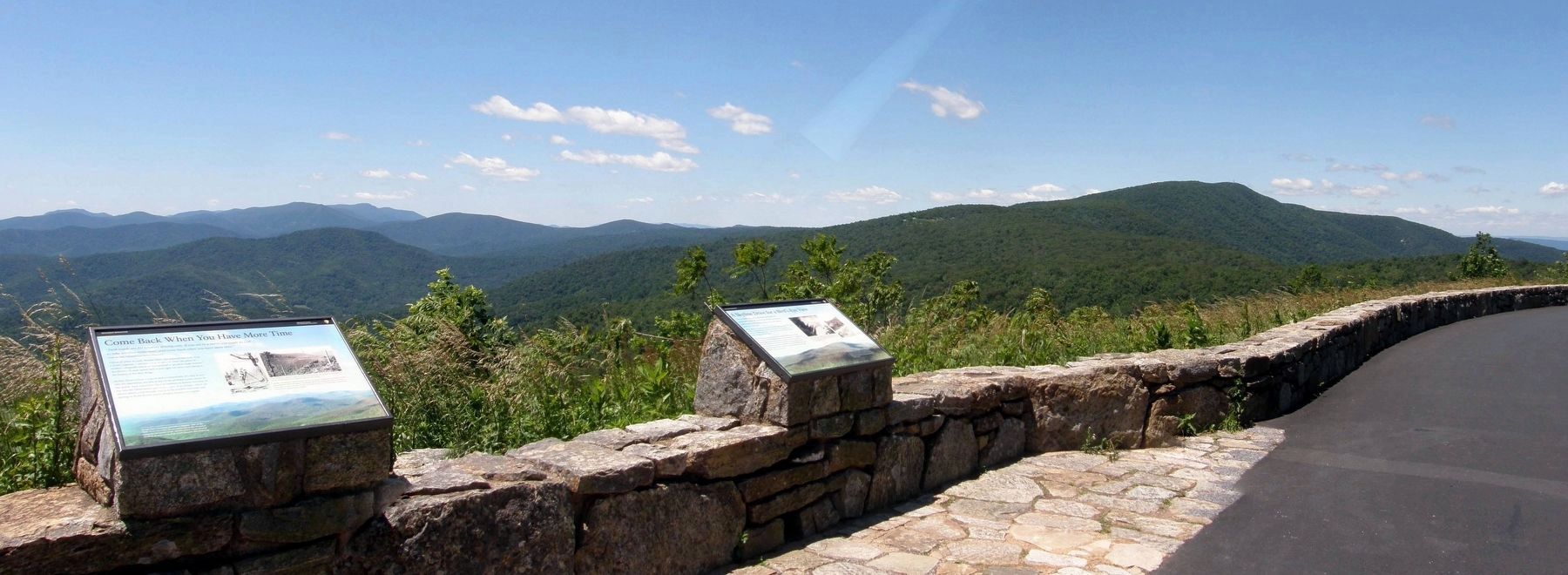
Range View Overlook provides a singular view of the Park: from here you can see numerous peaks stretched along the mountain range. Skyline Drive winds around them on its way south from Front Royal
this page online
Erected by National Park Service, U.S. Department of the Interior.
Topics. This historical marker is listed in these topic lists: Charity & Public Work • Man-Made Features • Parks & Recreational Areas • Roads & Vehicles.
Location. 38° 45.853′ N, 78° 13.619′ W. Marker is near Washington, Virginia, in Rappahannock County. It is on Skyline Drive (at milepost 17), on the right when traveling south. Marker is located at the Range View Overlook in Shenandoah National Park. Touch for map. Marker is in this post office area: Washington VA 22747, United States of America. Touch for directions.

Regionally, this marker is in Northern Virginia. It is also in the American South, specifically in the Upper South, and in the Mid-Atlantic. Globally, it is in North America, the Western Hemisphere, the Western World, and the Anglosphere. Historically, it finds itself in what was once the territory of the Mississippian Culture, one of the original Thirteen Colonies, one of the Confederate States of America, and the Antebellum South.
Other nearby markers. At
2. Marker detail: Planning the Skyline Drive
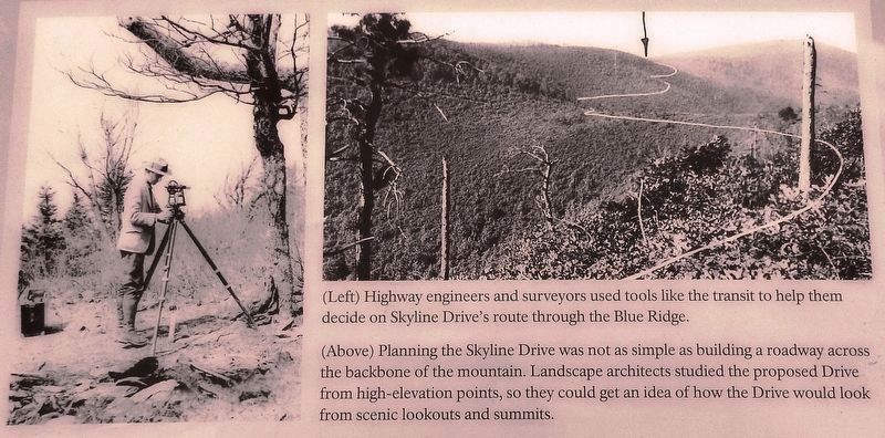
(Left) Highway engineers and surveyors used tools like the transit to help them decide on Skyline Drive's route through the Blue Ridge.
(Above) Planning the Skyline Drive was not as simple as building a roadway across the backbone of the mountain. Landscape architects studied the proposed Drive from high-elevation points, so they could get an idea of how the Drive would look from scenic lookouts and summits.
(Above) Planning the Skyline Drive was not as simple as building a roadway across the backbone of the mountain. Landscape architects studied the proposed Drive from high-elevation points, so they could get an idea of how the Drive would look from scenic lookouts and summits.
Another marker is no longer nearby. Range View (was within shouting distance of this marker but has been confirmed missing).
Related markers. Click here for a list of markers that are related to this marker. Range View Overlook
Photographed by Cosmos Mariner, May 17, 2019
3. Come Back When You Have More Time Marker
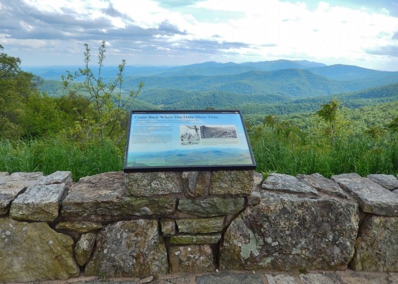
(wide view looking south • Range View Overlook)
(wide view looking south • Range View Overlook)
Photographed by Cosmos Mariner, May 17, 2019
4. Come Back When You Have More Time Marker
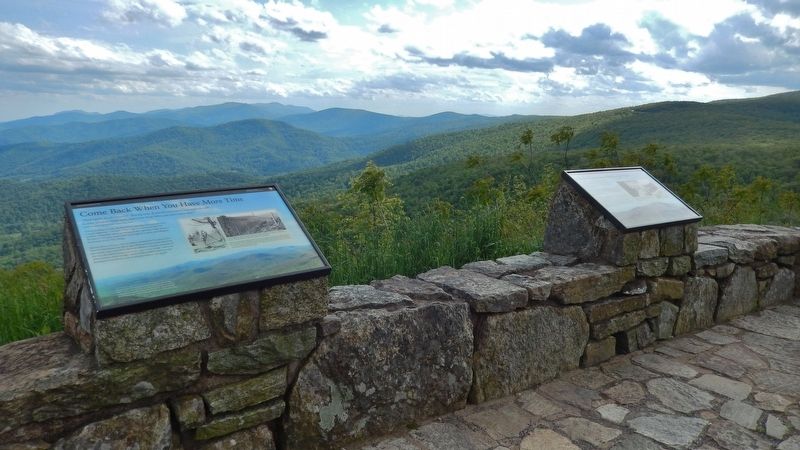
(wide view showing related marker on right)
(wide view showing related marker on right)
Photographed by Larry Gertner, June 14, 2019
5. The view from the Range View Overlook
Credits. This page was last revised on January 21, 2020. It was originally submitted on May 25, 2019, by Cosmos Mariner of Cape Canaveral, Florida. This page has been viewed 428 times since then and 19 times this year. Photos: 1, 2, 3, 4. submitted on May 26, 2019, by Cosmos Mariner of Cape Canaveral, Florida. 5. submitted on January 20, 2020, by Larry Gertner of New York, New York.
