Saint George's, Saint George, Grenada — Caribbean Region of the Americas (Lesser Antilles of the West Indies)
St. Andrew's Presbyterian Kirk
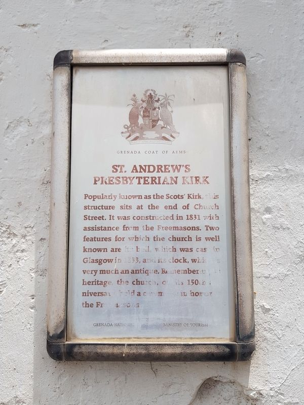
St. Andrew’s Presbyterian Kirk
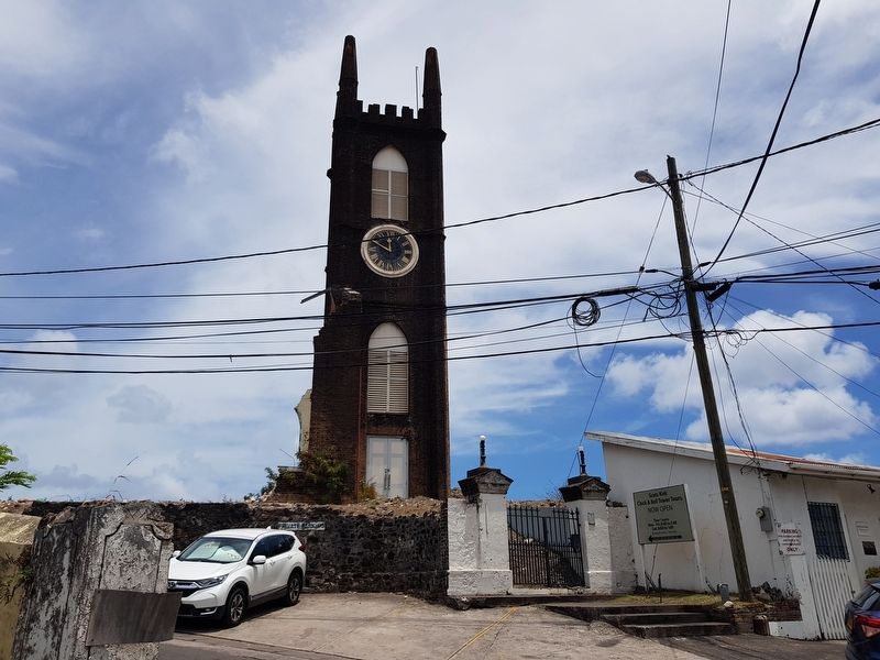
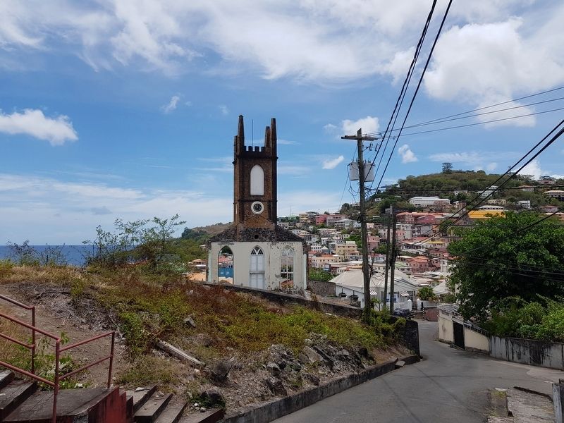
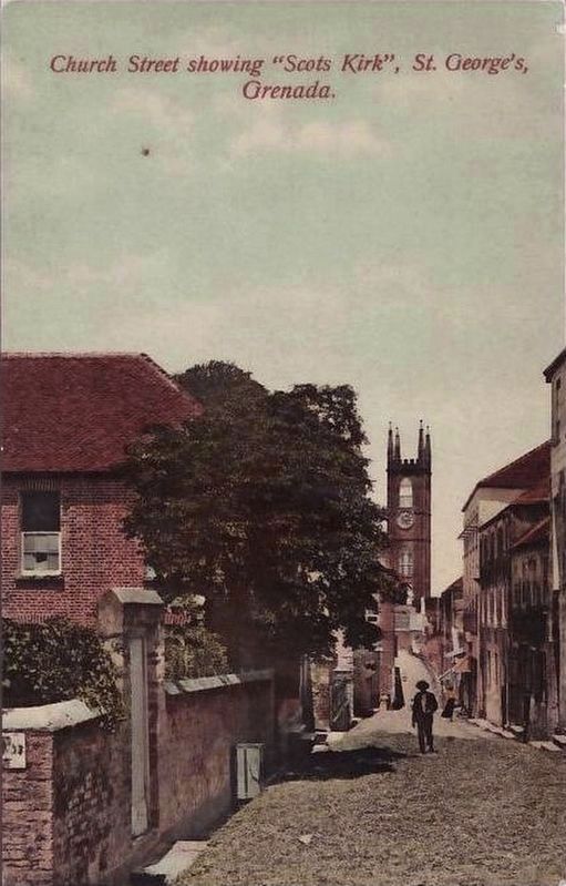
Popularly known as the Scots’ Kirk, this structure sits at the end of the Church Street. It was constructed in 1831 with assistance from the Freemasons. Two features for which the church is well known are its bell, which was cast in Glasgow in 1833, and its clock, which is very much an antique. Remembering its heritage, the church, on its 150th anniversary, held a ceremony in honor of the Freemasons.
Sponsored by: Grenada National Trust
Ministry of Tourism
Erected by Grenada National Trust.
Topics. This historical marker is listed in these topic lists: Churches & Religion • Civil Rights • Colonial Era • Man-Made Features. A significant historical year for this entry is 1831.
Location. 12° 3.057′ N, 61° 45.214′ W. Marker is in Saint George's, Saint George. Marker is on Grand Etang Road just south of Young Street, on the left when traveling south. Touch for map. Touch for directions.
Other nearby markers. At least 8 other markers are within walking distance of this marker. Grenada National Museum (about 120 meters away, measured in a direct line); Antilles Hotel (about 120 meters away); Assassination of Maurice Bishop (about 180 meters away); Sedan Porches (about 240 meters away); Historic Sedan Chair Portico (about 240 meters away); Roman Catholic Cathedral (approx. 0.3 kilometers away); Destruction of the Bianca C (approx. 0.4 kilometers away); St. George's Methodist Church (approx. 0.4 kilometers away). Touch for a list and map of all markers in Saint George's.
Credits. This page was last revised on June 12, 2019. It was originally submitted on June 11, 2019, by J. Makali Bruton of Accra, Ghana. This page has been viewed 160 times since then and 18 times this year. Photos: 1, 2, 3. submitted on June 11, 2019, by J. Makali Bruton of Accra, Ghana. 4. submitted on June 12, 2019.


