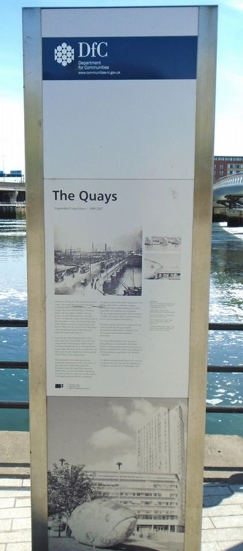
The Quays
Laganside Corporation 1989-2007
Welcome to the Quays at the mouth of the River Lagan. Set around the Lagan Weir the Quays incorporate Queen's Quay, Hanover Quay, Gregg's Quay and Donegall Quay, all closely linked with the origins of Belfast. The city derives its name from the Irish words 'Béal Feirste', meaning the sandy ford at the mouth of the Farset River. In the 17th century the banks of the Farset was used to transport goods into the city. What was the Farset is now High Street and a tunnel big enough to take a bus now carries the Farset under the city.
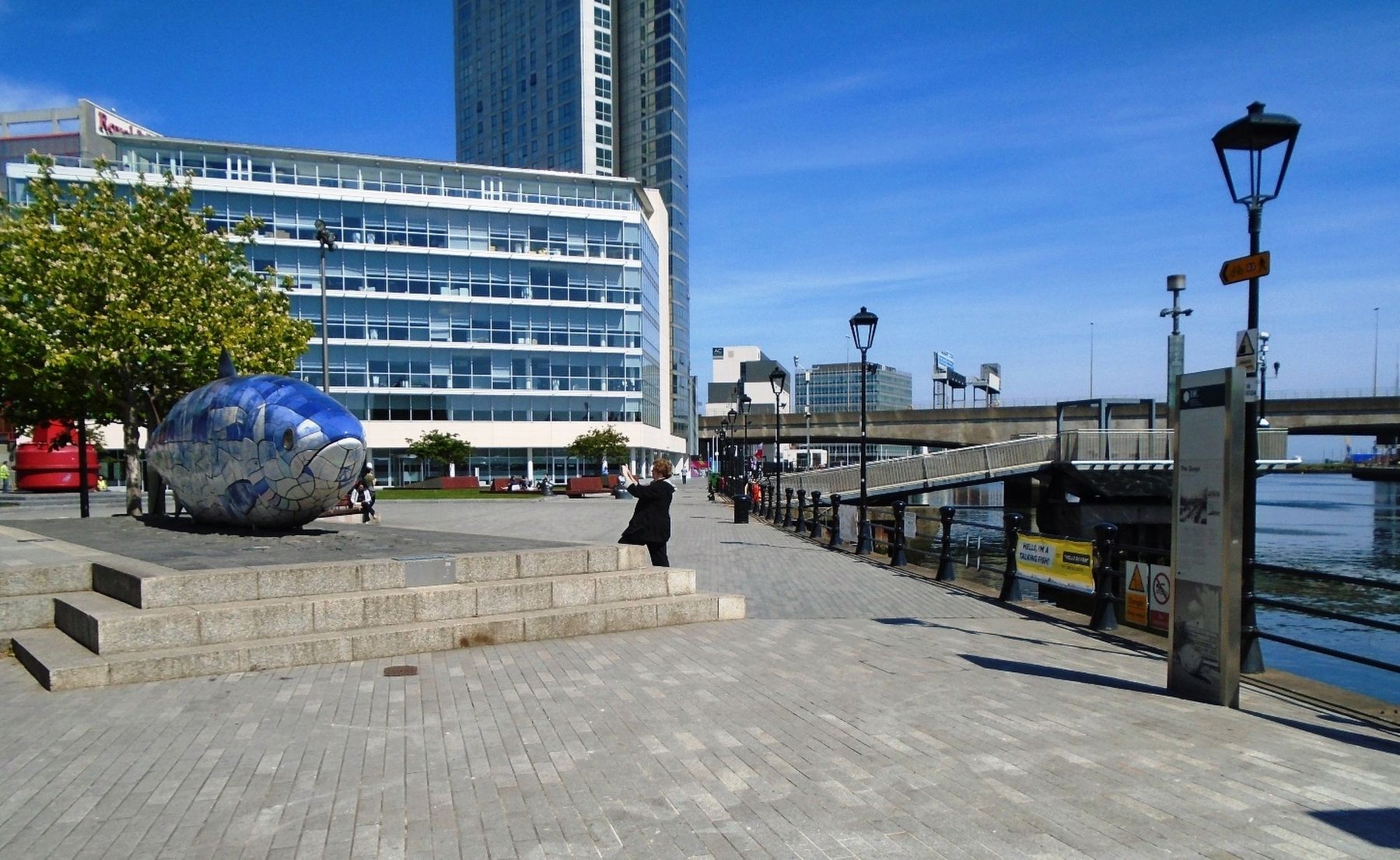
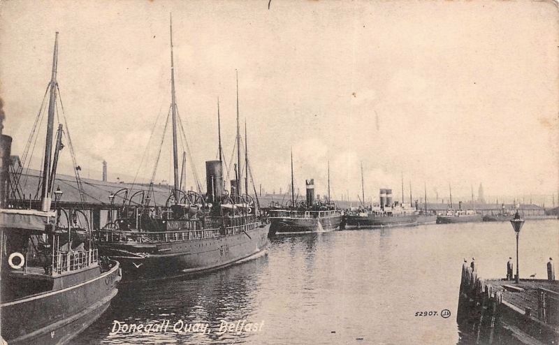
Up to the late 1980s Donegall Quay was an active quayside where freight came and went, where ferries left for Glasgow and Liverpool and boats brought tourists to and from Bangor for day trips. However, by the time the area was taken over for redevelopment by the Laganside Corporation, it was waste ground.
The first project to be undertaken by the Laganside Corporation was the construction of the Lagan Weir. With funding from the European Union the Lagan Weir opened in March 1994, at a cost of £14 million. Breathing new life into the river, the weir was the catalyst to the regeneration of the city's waterfront.
The Quays underwent further regeneration with 'Obel', a £50 million waterfront venture bringing Ireland's tallest building (as of 2012) rising 82m over 28 storeys above ground. The development
incorporates 282 apartments, c. 50,000 sq ft of office space/commercial space and 2 levels of basement car parking.The Quays play a central role in linking the city centre with the River Lagan and the development of the area has created a lively, interesting and accessible waterfront destination.
The #4 port hand marker buoy situated in Donegall Quay was donated by the Belfast Harbour Commissioners. It was in operation in Belfast Lough from 1971 until it was replaced in 2010. Its position was position -54°40.919 N 5°48.258 W
The Millenium Island and Beacon were created to celebrate the entry into the New Millenium. The Beacon was first lit on 31 December 1999.
Art Pieces
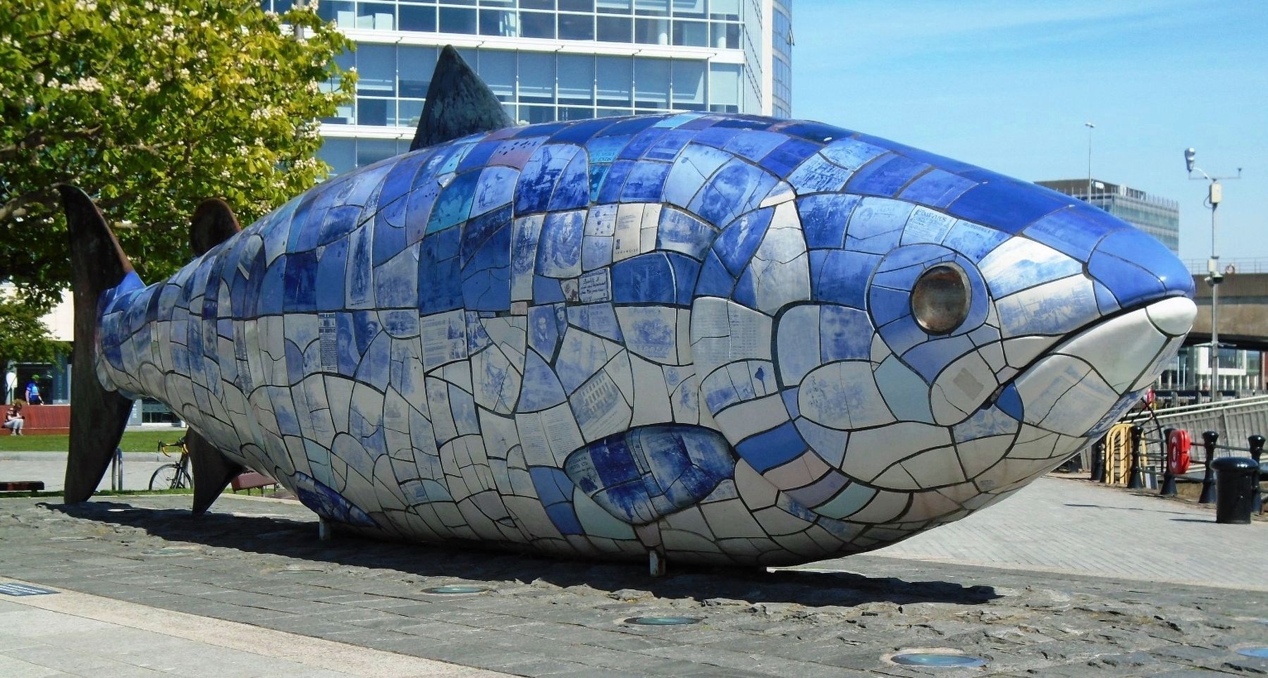
'Bigfish' (John Kindness), Donegall Quay
10m salmon decorated with texts and
images of Belfast's history.
'Lagan Legacy', Hanover Quay
(Richard McCullough, McCadden Design)
'National Cycle Network', Hanover Quay
(Marion Tucker & Sue Ford)
'Trawl' (Michael Baker), Gregg's Quay
Depicts a shoal of fish caught in a
trawler's net.
'Starboard' (Rachel Joynt), Gregg's Quay
Translucent blue cobbles representing a
barge as well as the sea and sky.
[Photo captions, clockwise from top left, read]
1 The Quays, 1936
2 Lagan Weir, 2010
3 'Bigfish' at Donegall Quay, 2006
Erected by
Topics. This historical marker is listed in these topic lists: Industry & Commerce • Man-Made Features • Parks & Recreational Areas • Waterways & Vessels. A significant historical month for this entry is March 1994.
Location. 54° 36.085′ N, 5° 55.292′ W. Marker is in Belfast, Northern Ireland. Marker is at the intersection of Donegall Quay (Northern Ireland Route A2) and Queen's Square, on the left when traveling south on Donegall Quay. Touch for map. Marker is at or near this postal address: Donegall Quay, Belfast, Northern Ireland BT1 3NG, United Kingdom. Touch for directions.
Other nearby markers. At least 8 other markers are within walking distance of this marker. Donegall Quay (within shouting distance of this marker); Calder Fountain (within shouting distance of this marker); Anthony Trollope (about 90 meters away, measured in a direct line); Custom House (about 120 meters away); Custom House Square (about 120 meters away); James Holmes (about 120 meters away); Albert Clock (about 180 meters away); High Street (about 240 meters away). Touch for a list and map of all markers in Belfast.
Also see . . . The Big Fish. Wikipedia entry (Submitted on June 12, 2019, by William Fischer, Jr. of Scranton, Pennsylvania.)
Credits. This page was last revised on April 27, 2023. It was originally submitted on June 12, 2019, by William Fischer, Jr. of Scranton, Pennsylvania. This page has been viewed 322 times since then and 48 times this year. Photos: 1, 2, 3. submitted on June 12, 2019, by William Fischer, Jr. of Scranton, Pennsylvania. 4. submitted on June 12, 2019.


