Bacalar in Othón P. Blanco, Quintana Roo, Mexico — The Yucatan Peninsula (The Southeast)
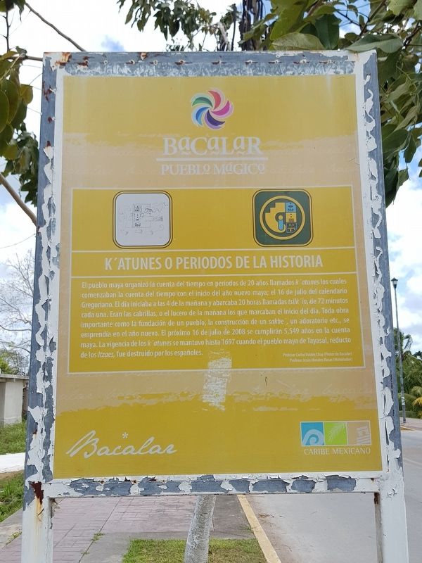
K'atunes or Periods of History
Bacalar - Pueblo Mágico
El pueblo maya organizó la cuenta del tiempo en períodos de 20 años llamados k’atunes los cuales comenzaban la cuenta del tiempo con el inicio del año nuevo maya; el 16 de julio del calendario gregoriano. El día iniciaba a las 4 de la mañana y abarcaba 20 horas llamadas tsilk’in, de 72 minutos cada una. Eran las cabrillas, o el lucero de la mañana los que marcaban el inicio del dia. Toda obra importante como la fundación de un pueblo, la construcción de un sakbe’, un adoratorio etc., se emprendía en el año nuevo. El próximo 16 de julio de 2008 se cumplirán 5,549 años en la cuenta maya. La vigencia de los k’atunes se mantuvo hasta 1697 cuando el pueblo maya de Tayasal, reducto de los Itzaes, fue destruido por los españoles.
Profesor Carlos Valdéz Chay (Pintor de Bacalar)
Profesor Jesús Morales Rosas (Historiador)
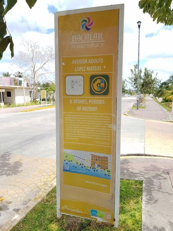
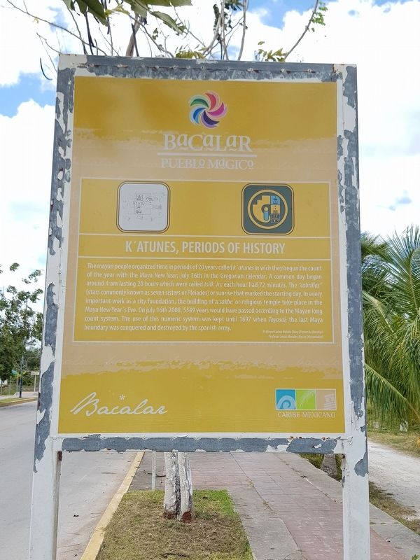
K'atunes, Periods of History
The mayan people organized time in periods of 20 years called k’atunes in which they begun the count of the year with the Maya New Year; july 16th in the Gregorian calendar. A common day began around 4 am lasting 20 hours which were called tsilk'in; each hour had 72 minutes. The “cabrillas” (stars commonly known as seven sisters or Pleiades) or sunrise that marked the starting day. In every important work as a city foundation, the building of a sakbe’ or religious temple take place in the Maya New Year's Eve. On july 16th 2008, 5549 years would have passed according to the Mayan long count system. The use of this numeric system was kept until 1697 when Tayasal, the last Maya boundary was conquered and destroyed by the spanish army.
English translation:
Professor Carlos Valdéz Chay (Bacalar painter)
Professor Jesús Morales Rosas (Historian)
Topics. This historical marker is listed in these topic lists: Anthropology & Archaeology • Native Americans • Wars, Non-US. A significant historical date for this entry is July 16, 2008.
Location. 18° 40.152′ N, 88° 23.816′ W. Marker is in Bacalar, Quintana Roo, in Othón P. Blanco. Marker is on Avenida Adolfo López Mateos just north of Calle 0, on the left when traveling north. Touch for map. Marker is in this post office area: Bacalar QR 77000, Mexico. Touch for directions.
Other nearby markers. At least 8 other markers are within walking distance of this marker. Bacalar (within shouting distance of this marker); Cenotes, Fresh Water Supply (about 150 meters away, measured in a direct line); Pre-Columbian Bacalar, Foundation (about
210 meters away); Bacalar - 1729 (approx. 0.3 kilometers away); Pre-Columbian Time, End of Period (approx. 0.4 kilometers away); a different marker also named Bacalar (approx. half a kilometer away); Bel Itzá, or Path of the Itzaes (approx. half a kilometer away); a different marker also named Bacalar (approx. half a kilometer away). Touch for a list and map of all markers in Bacalar.

Photographed By J. Makali Bruton, March 31, 2019
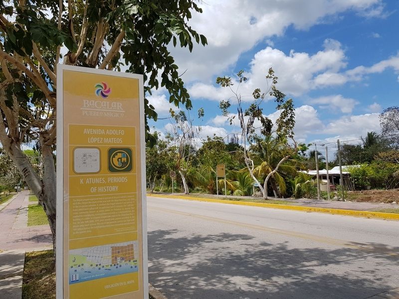
4. The additional K'atunes or Periods of History Marker
This view of the additional nearby marker is of its southern side, looking north. The Bacalar Marker can be seen in the distance to the left along Avenida Adolfo López Mateos. Note that this additional marker has the same text as the featured marker and English on both sides.
Credits. This page was last revised on June 22, 2019. It was originally submitted on June 22, 2019, by J. Makali Bruton of Accra, Ghana. This page has been viewed 73 times since then and 6 times this year. Photos: 1, 2, 3, 4. submitted on June 22, 2019, by J. Makali Bruton of Accra, Ghana.


