Caesarea in Hadera, Haifa District, Israel — West Asia (the Levant in the Middle East)
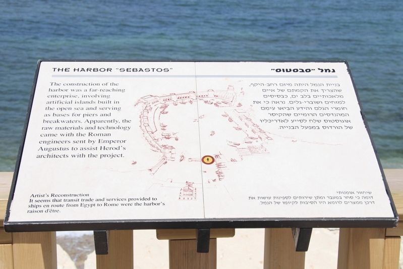
The Harbor "Sebastos"
Photographed by Dale K. Benington, April 4, 2019
1. The Harbor "Sebastos" Marker
The construction of the harbor was a far reaching enterprise, involving artificial islands built in the open sea and serving as bases for piers and breakwaters. Apparently, the raw materials and technology came with the Roman engineers sent by Emperor Augustus to assist Herod's architects with the project.
Artist's Reconstruction
It seems that transit trade and services provided to ships en route from Egypt to Rome were the harbor's raison d'être.
Topics. This historical marker is listed in these topic lists: Anthropology & Archaeology • Parks & Recreational Areas • Waterways & Vessels.
Location. 32° 30.124′ N, 34° 53.468′ E. Marker is in Caesarea, Haifa District, in Hadera. It can be reached from Kvish HaTe'atron just west of Rothschild, on the right when traveling west. This historical marker is located in the Caesarea Maritima National Park, at the edge of the inner harbor area, a top a fence that runs along the waterfront. Touch for map. Touch for directions.

Regionally, it is in Asia, specifically in West Asia, in the Middle East, in The Levant, on
this page online
Other nearby markers. At least 8 other markers are within walking distance of this marker: The Heart of Caesarea (within shouting distance of this marker); Sarcophagus adorned with Rosettes (within shouting distance of this marker); Sarcophagus Lid (within shouting distance of this marker); The Caesarea Nymphaeum (about 90 meters away, measured in a direct line); Inscribed Stones / Sarcophagi (about 90 meters away); Roman Bathhouse (about 120 meters away); Caesarea / קיסריה (about 120 meters away); Fragments of an Inscribed Coenice (about 120 meters away). Touch for a list and map of all markers in Caesarea.
Also see . . .
1. Caesarea Maritima. This is a link to information, regarding Caesarea Maritima, provided by Wikipedia, the free encyclopedia. (Submitted on July 11, 2019, by Dale K. Benington of Toledo, Ohio.)
2. Caesarea Maritime. Bible Walks website entry
Photographed by Dale K. Benington, April 4, 2019
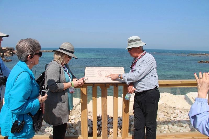
2. The Harbor "Sebastos" Marker
View of the featured marker, with our tour guide using it to illustrate the information that he is sharing regarding the harbor of Caesarea Maritima.
Photographed by Dale K. Benington, April 4, 2019
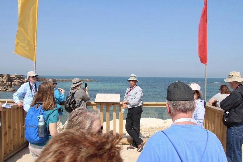
3. The Harbor "Sebastos" Marker
A more distant view of the area around the marker.
Photographed by Dale K. Benington, April 4, 2019
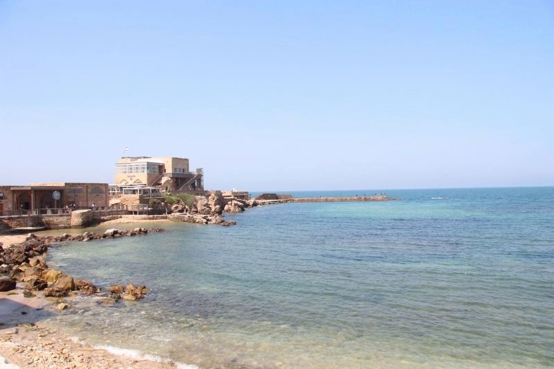
4. The Harbor "Sebastos" Marker
View of the inner harbor area to the left (south) of the marker.
Photographed by Dale K. Benington, April 4, 2019
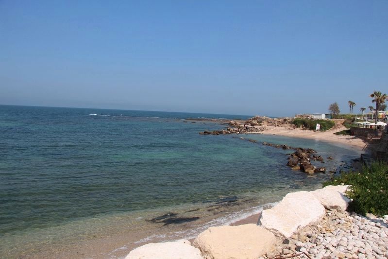
5. The Harbor "Sebastos" Marker
View of the inner harbor area to the right (north) of the marker.
Credits. This page was last revised on January 1, 2024. It was originally submitted on July 11, 2019, by Dale K. Benington of Toledo, Ohio. This page has been viewed 364 times since then and 24 times this year. Photos: 1, 2, 3, 4, 5. submitted on July 11, 2019, by Dale K. Benington of Toledo, Ohio.
