Franklin in Williamson County, Tennessee — The American South (East South Central)
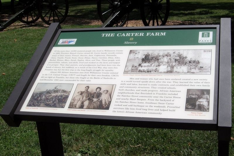
The Carter Farm
Slavery
| — | Tennessee Civil War National Heritage Area | — |
Photographed by Larry Gertner, June 16, 2019
1. The Carter Farm Marker
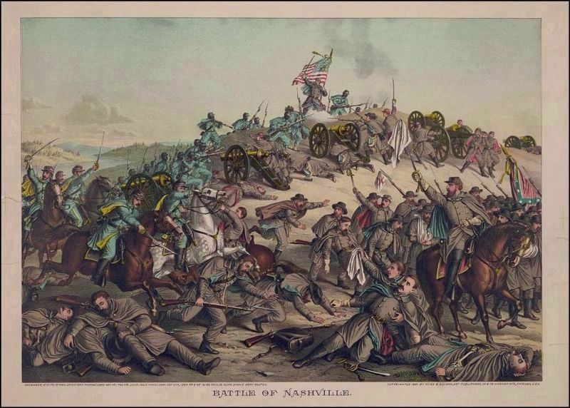
Almost 300 African American men from Williamson County enlisted in the U.S. Colored Troops (USCT) and fought for their own freedom. USCTs did not fight at Franklin, but those who fought at the battle of Nashville in Mid-December 1864 were commended for their valor.
Men and women who had once been enslaved created a new society in a world turned upside down after the war. They learned the value of their skills and labor, learned to make contracts, and established their
this page online
Erected by Historic Franklin Parks.
Topics. This historical marker is listed in these topic lists: African Americans • Agriculture • Parks & Recreational Areas • War, US Civil.
Location. 35° 54.976′ N, 86° 52.39′ W. Marker is in Franklin, Tennessee, in Williamson County. It is at the intersection of Columbia Avenue (Business U.S. 31) and Strahl Street, on the right when traveling north on Columbia Avenue. Touch for map. Marker is in this post office area: Franklin TN 37064, United States of America. Touch for directions.

Regionally, this marker is in Middle Tennessee and in Greater Nashville. It is also in the American
Photographed by Larry Gertner, June 16, 2019
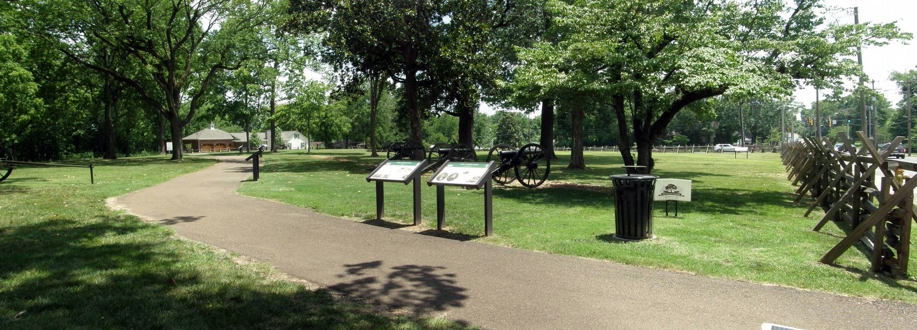
2. The Carter Farm Marker site
The marker is second to the left at the Cotton Gin Park.
Other nearby markers. At least 8 other markers are within walking distance of this marker: A different marker also named The Carter Farm (here, next to this marker); Main Entrenchment Federal Battle Line (a few steps from this marker); a different marker also named The Carter Farm (within shouting distance of this marker); a different marker also named The Carter Farm (within shouting distance of this marker); a different marker also named The Carter Farm (within shouting distance of this marker); Texas (within shouting distance of this marker); a different marker also named The Carter Farm (within shouting distance of this marker); a different marker also named The Carter Farm (within shouting distance of this marker). Touch for a list and map of all markers in Franklin.
Photographed by Larry Gertner, June 16, 2019
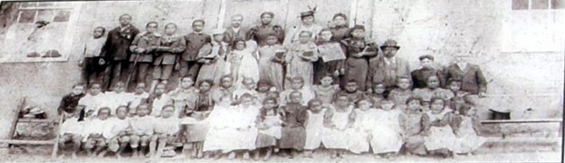
3. Inset
Shorter Chapel, African Methodist Episcopal Church
Photographed by Kurz & Allison, circa 1891
4. Battle of Nashville
Library of Congress [LC-DIG-pga-01886]
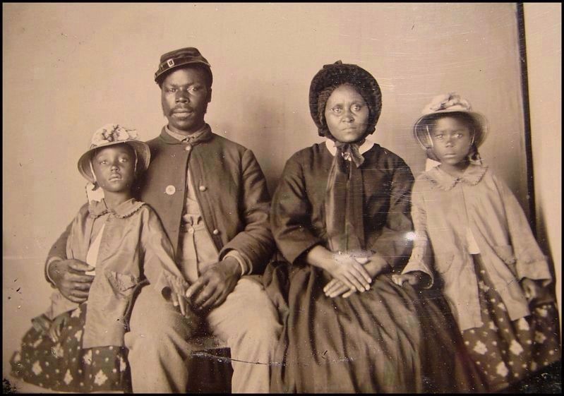
circa 1865
5. USCT soldier and family
Library of Congress [LC-DIG-ppmsca-26454]
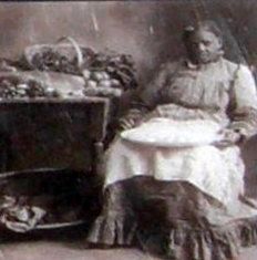
Photographed by Larry Gertner, June 16, 2019
6. Inset
Nancy Vestal
Credits. This page was last revised on July 27, 2022. It was originally submitted on September 6, 2019, by Larry Gertner of New York, New York. This page has been viewed 454 times since then and 31 times this year. Photos: 1, 2, 3. submitted on September 6, 2019, by Larry Gertner of New York, New York. 4, 5. submitted on September 7, 2019. 6. submitted on September 6, 2019, by Larry Gertner of New York, New York. • Bernard Fisher was the editor who published this page.
