Port Hastings in Inverness County, Nova Scotia — The Atlantic Provinces (North America)
The Building of the Canso Causeway / La Construction de la Levée de Canso
Inscription.
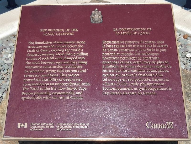
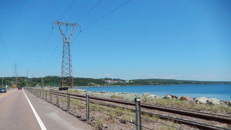
The foundation of this massive stone structure rests 66 metres below the Strait of Canso, creating the world’s deepest causeway. More than 9 million tonnes of rock fill were dumped into the strait between 1952 and 1955 using innovative construction techniques to overcome strong tidal currents and severe ice conditions. This project proved the feasibility of deep water construction on an unprecedented scale. The “Road to the Isle” now links Cape Breton physically, economically, and symbolically with the rest of Canada.
Cette massive structure de pierre, dont la base repose à 66 mètres sous le détroit de Canso, constitue le pont-jetée le plus profond au monde. Des techniques novatrices permirent de construire, entre 1952 et 1955, cette levée de plus de 9 millions de tonnes de roches capable de résister aux forts courants et aux glaces, exploit qui prouva la faisabilité d’un tel ouvrage en eau profond. Depuis, la « Route de l'ile » relie physiquement, économiquement et symboliquement le Cap-Breton au reste du Canada.
Erected by Historic Sites and Monuments Board of Canada/Commission des lieux et monuments historiques du Canada.
Topics and series. This historical marker is listed in these topic lists: Bridges & Viaducts • Man-Made Features • Roads & Vehicles • Waterways & Vessels. In addition, it is included in the Canada, Historic Sites and Monuments Board series list. A significant historical year for this entry is 1952.
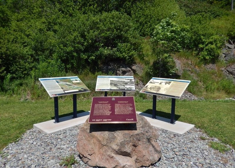
Location. 45° 38.882′ N, 61° 24.745′ W. Marker is in Port Hastings, Nova Scotia, in Inverness County. Marker can be reached from Trans Canada Highway (National Route 104) half a kilometer west of Ceilidh Trail (Route 19), on the right when traveling west. Marker is located in the Celtic Shores Coastal Trail interpretive plaza and trailhead, on the east side of the Canso Causeway. Touch for map. Marker is in this post office area: Port Hastings NS B9A 1J8, Canada. Touch for directions.
Other nearby markers. At least 4 other markers are within walking distance of this marker. Operation of the Canso Canal / Exploitation du Canal (here, next to this marker); Construction of the Canso Canal / Construction du Canal de Canso (here, next to this marker); History of the Canso Canal / Historique du Canal de Canso (here, next to this marker); Canso Causeway (a few steps from this marker).
Related markers. Click here for a list of markers that are related to this marker. Canso Canal & Causeway
Credits. This page was last revised on March 30, 2021. It was originally submitted on September 9, 2019, by Cosmos Mariner of Cape Canaveral, Florida. This page has been viewed 238 times since then and 25 times this year. Photos: 1, 2, 3, 4. submitted on September 11, 2019, by Cosmos Mariner of Cape Canaveral, Florida.


