Sioux Falls in Minnehaha County, South Dakota — The American Midwest (Upper Plains)
Mound Builders Village
Side 1
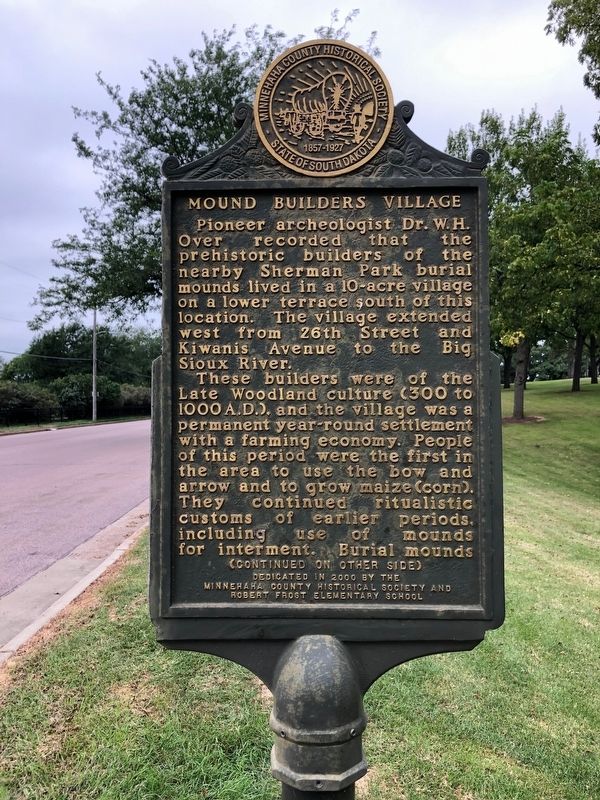
Pioneer archeologist Dr. W.H. Over recorded that the prehistoric builders of the nearby Sherman Park burial mounds lived in a 10-acre village on a lower terrace south of this location. The village extended west from 26th Street and Kiwanis Avenue to the Big Sioux River.
These builders were of the Late Woodland culture (300 to 1000 A.D.), and the village was a permanent year-round settlement with a farming economy. People of this period were the first in the area to use the bow and arrow and to grow maize (corn). They continued ritualistic customs of earlier period, including use of mounds for interment. Burial mounds
Side 2
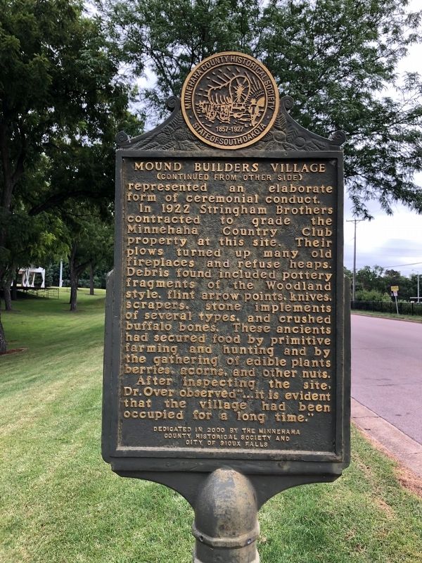
represented an elaborate form of ceremonial conduct.
In 1922 Stringham Brothers contracted to grade the Minnehaha Country Club property at this site. Their plows turned up many old fireplaces and refuse heaps. Debris found included pottery fragments of the Woodland style, flint arrow points, knives, scrapers, stone implements of several types, and crushed buffalo bones. These ancients had secured food by primitive farming and hunting and by the gathering of edible plants berries, acorns, and other nuts.
After inspecting the site, Dr. Over observed "...it is evident that the village had been occupied for a long time."
Erected 2000 by Minnehaha County Historical Society, Robert Frost Elementary School, and City of Sioux Falls.
Topics. This historical marker is listed in these topic lists: Anthropology & Archaeology • Cemeteries & Burial Sites • Native Americans • Settlements & Settlers. A significant historical year for this entry is 1922.
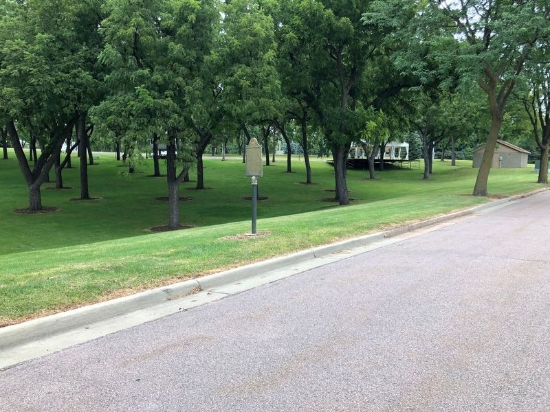
Location. 43° 31.989′ N, 96° 45.765′ W. Marker is in Sioux Falls, South Dakota, in Minnehaha County. Marker is located in Sherman Park. Touch for map. Marker is at or near this postal address: 3410 W 22nd Street, Sioux Falls SD 57105, United States of America. Touch for directions.
Other nearby markers. At least 8 other markers are within walking distance of this marker. Linear Mound (about 500 feet away, measured in a direct line); Sherman Park Indian Burial Mounds (about 500 feet away); Minnehaha Country Club (about 500 feet away); Ceremonial Dance Circle (about 600 feet away); The Fifth Mound (about 600 feet away); The Big Slide (about 600 feet away); 500 A.D. Copper Knife (approx. 0.2 miles away); Earth-Hut Villages (approx. 0.2 miles away). Touch for a list and map of all markers in Sioux Falls.
Credits. This page was last revised on September 19, 2019. It was originally submitted on September 19, 2019, by Ruth VanSteenwyk of Aberdeen, South Dakota. This page has been viewed 430 times since then and 49 times this year. Photos: 1, 2, 3. submitted on September 19, 2019, by Ruth VanSteenwyk of Aberdeen, South Dakota. • Andrew Ruppenstein was the editor who published this page.


