Independence in Jackson County, Missouri — The American Midwest (Upper Plains)
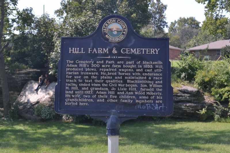
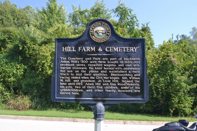
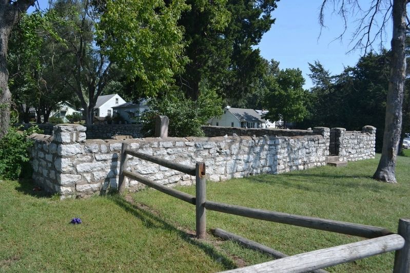
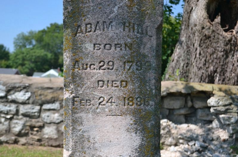
Hill Farm & Cemetery
Topics. This historical marker is listed in these topic lists: Agriculture • Cemeteries & Burial Sites • Parks & Recreational Areas. A significant historical year for this entry is 1833.
Location. 39° 4.952′ N, 94° 27.424′ W. Marker is in Independence, Missouri, in Jackson County. Marker is on Hill Park Drive near South Maywood Avenue, on the right when traveling east. 157 feet east of South Maywood Avenue on the south side of Hill Park Drive. Touch for map. Marker is in this post office area: Independence MO 64052, United States of America. Touch for directions.
Other nearby markers. At least 8 other markers are within 2 miles of this marker, measured as the crow flies. Woodson House (approx. 1.2 miles away); Mount Washington Cemetery Bridge Facts (approx. 1.3 miles away); James Bridger Gravesite (approx. 1.3 miles away); Battle Line at Railroad Cut (approx. 1.4 miles away); William Rockhill Nelson Chapel (approx. 1˝ miles away); Flournoy House (approx. 1.6 miles away); F.M. Smith Study (approx. 1.6 miles away); Flournoy Home (approx. 1.6 miles away). Touch for a list and map of all markers in Independence.
Credits. This page was last revised on January 16, 2020. It was originally submitted on September 23, 2019, by Michael E Sanchez, Jr. of Kansas City, Missouri. This page has been viewed 568 times since then and 55 times this year. Photos: 1, 2. submitted on September 23, 2019, by Michael E Sanchez, Jr. of Kansas City, Missouri. 3, 4. submitted on January 16, 2020, by Michael E Sanchez, Jr. of Kansas City, Missouri. • Andrew Ruppenstein was the editor who published this page.


