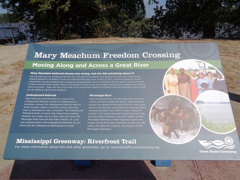
Mary Meachum Freedom Crossing
Moving Along and Across a Great River
Did you know you are standing at the first site in Missouri to be added to the National Park Service's Underground Railroad Network to Freedom? At this site along the Mississippi River on May 21, 1855, an African-American woman named Mary Meachum helped nine courageous enslaved people board a small boat with the goal of crossing the river to Illinois towards their freedom. Most of the members of the group were caught, and Mary was charged with "enticing slaves to escape". Today, this site is the home of the annual Mary Meachum Freedom Crossing Celebration. What would you be willing to risk for your freedom?
Underground Railroad
Mary Meachum used her home as a stop on the Underground Railroad. Usually not underground or involving a railroad, the Underground Railroad refers to all the freedom seekers and all the varied routes they took, or attempted to take, to freedom. The Underground Railroad includes everyone who helped those seeking freedom. As a major city in a slave state just across the Mississippi River from the free state of Illinois, St. Louis was a pivotal point in the Underground Railroad. Do you know how the Underground Railroad got its name?
Mississippi River
Since prehistoric times, the Mississippi
River has been used to transport people and goods. Native American people lived along the Mississippi River for many years because the area was a good place for hunting animals and growing plants that could be eaten. Today, the corridor is still used to transport freight by truck, train and ship. Birds, butterflies and other wildlife use the Mississippi Greenway on their migration routes, and people use the Mississippi Greenway to walk, run, ride a bike, and enjoy the outdoors. How do you use the Mississippi Greenway?Erected by Great Rivers Greenway.
Topics and series. This historical marker is listed in these topic lists: Abolition & Underground RR • African Americans • Waterways & Vessels • Women. In addition, it is included in the National Underground Railroad Network to Freedom series list. A significant historical date for this entry is May 21, 1855.
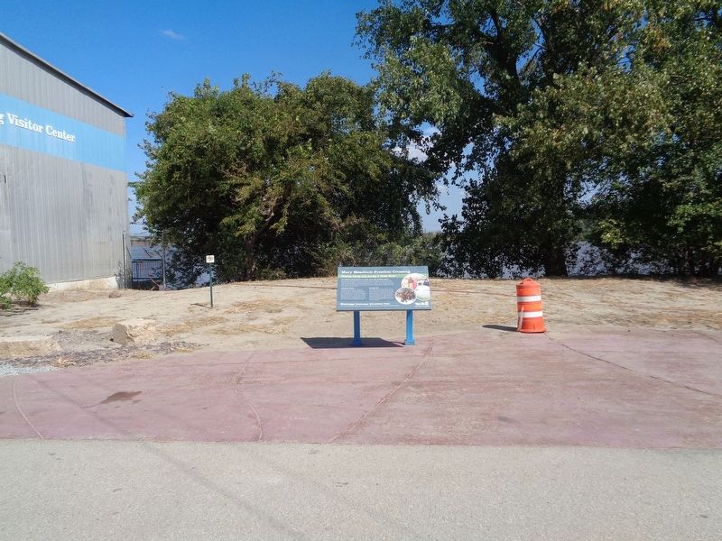
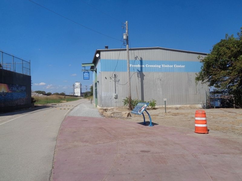
Location. Marker has been reported missing. It was located near 38° 40.585′ N, 90° 11.455′ W. Marker was in St. Louis, Missouri. It was in Near North Riverfront. Marker is next to the Mary Meachum Freedom Crossing/Rest Area, which is located on the North Riverfront Trail. The closest road is East Prairie, which is 0.2 miles from the Rest Area. At the end of East Prairie, there
Other nearby markers. At least 8 other markers are within 2 miles of this location, measured as the crow flies. The Lewis and Clark Expedition Across Missouri (within shouting distance of this marker); Main Street of America ran right through Venice (approx. 1.1 miles away in Illinois); War Memorial (approx. 1.2 miles away in Illinois); Venice High School Bell (approx. 1.6 miles away in Illinois); Freedom Village (approx. 1.8 miles away in Illinois); Our Story (approx. 1.8 miles away); George Boyer Vashon Museum of African American History (approx. 1.9 miles away); Charles S Brown House (approx. 1.9 miles away). Touch for a list and map of all markers in St. Louis.
Regarding Mary Meachum Freedom Crossing. In December 2001, the Mary Meachum Freedom Crossing was dedicated as part of the National Park Services' Underground Railroad Network to Freedom. It was the first of such dedicated in Missouri.
The rest stop is a Visitor's Center building that has limited hours during the year (open from April to October, on Thursdays, Fridays and Saturdays). The building is used for special events, and there is usually an attendant present during its open hours. There are some indoor displays and restrooms inside. A deck that overlooks
Also see . . .
1. Mary Meachum. Wikipedia page for the abolitionist (Submitted on October 1, 2019, by Jason Voigt of Glen Carbon, Illinois.)
2. Mary Meachum Celebration. From the Great Rivers Greenway website, this talks about the history of Mary Meachum, as well as the festivities that go on each year at the Mary Meachum Freedom Crossing site. (Submitted on October 1, 2019, by Jason Voigt of Glen Carbon, Illinois.)
Credits. This page was last revised on January 30, 2023. It was originally submitted on October 1, 2019, by Jason Voigt of Glen Carbon, Illinois. This page has been viewed 504 times since then and 29 times this year. Photos: 1, 2, 3. submitted on October 1, 2019, by Jason Voigt of Glen Carbon, Illinois. 4. submitted on September 5, 2020, by Jason Voigt of Glen Carbon, Illinois. • Andrew Ruppenstein was the editor who published this page.


