San Miguel de Allende, Guanajuato, Mexico — The Central Highlands (North America)
El Chorro Neighborhood
San Miguel de Allende - El Corazón de México
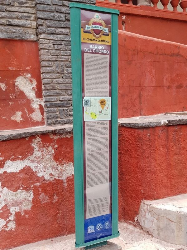
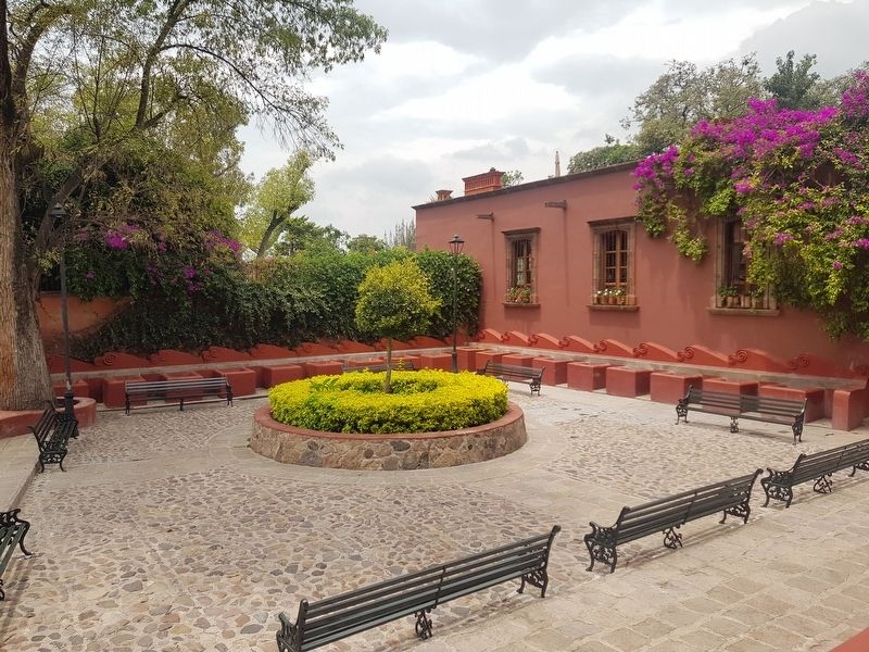
Es uno de los sitios históricos más importantes de la ciudad. Se relaciona a las fundaciones que se vivieron entre 1542, 1548 y 1555, durante el proceso de conquista y colonización española de los territorios del norte novohispano. En 1542, el franciscano Fray Juan de San Miguel fundó el pueblo de indios de San Miguel de los Chichimecas, en un paraje ubicado a un cuarto de legua (aprox. 1 km) hacia el poniente del actual San Miguel congregándose en él chichimecas pacificados (guamares y guachichiles), otomíes, tarascos y mexicanos. Posteriormente, alrededor de 1548, el pueblo se trasladó a este paraíso natural denominado “Izcuinapan”; protegido por las altas peñas y alimentado por las aguas y demás recursos naturales provenientes del cerro de la Moctezuma o “Monte que huma”, entre ellos el preciado caudal del llamado “Chorro” o “Chorrillo”. Años más tarde, la existencia de este pueblo, fue una de las principales referencias para fundarse en 1555 la villa española de San Miguel el Grande. A partir de este momento, funcionaron como dos realidades legales y políticas distintas, pero en constante comunicación, compartiendo un tiempo, la geografía, el interés por los recursos naturales, e incluso, los conflictos que se dieron entre sus pobladores a lo largo de las centurias virreinales.
Reconocido como el barrio del Chorro, tuvo por sus primeros vecinos a los habitantes trasladados del pueblo de San Miguel de los Chichimecas. Hacia el siglo XVIIl, se le refiere como un barrio multiétnico, habitado mayoritariamente por indígenas además de españoles, mulatos, mestizos y otra castas, dedicados a los oficios de albañiles, zapateros, carneros, pajes, trapicheros, hiladores, tejedores y hortelanos.
La traza de este sitio y la de sus alrededores, la cubrían cerca de 244 casas habitadas por más de 2000 personas a mediados del siglo XVIII. Se encontraba en perfecto comunicación con los habitantes de la antigua calle del Hospital, del Rosal, el callejón de los Reboceros, Cañada de los Aguacates, Ojo de Agua, Guadiana, Valle del Maíz y San Antonio de la Casa Colorada.
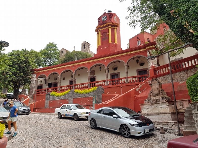
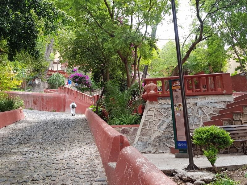
El barrio del Chorro y sus vecinos inmediatos formaban un amplio y hermoso paisaje de huertas, que las familias tenían por paseo dominical. Un entorno regado por los caudales de la Moctezuma, particularmente por el Chorro o Chorrillo. A partir del cual, se construyeron los baños públicos y una caja de agua hacia 1750, obras patrocinadas por la familia de la Canal, que permitían regular el abastecimiento del preciado líquido al sistema de cañería extendido hasta la traza principal de San Miguel, así como a sus fuentes públicas y particulares.
Con el paso del tiempo, fueron haciéndose numerosas las mercedes o licencias concedidas a los españoles y al cabildo de la villa, para el uso de los manantiales del chorro: lo que ocasionó serios conflictos entre los años de 1745 y 1766, cuando los pobladores del Chorro y Guadiana (también conocido como la Santa Veracruz y Santa Catarina), se levantaron defendiendo la prioridad que habían tenido tradicionalmente sobre el uso de estas aguas, según la fundación del siglo XVI; a lo que agregaron los perjuicios ocasionados a sus personas y tierras por la sobreexplotación del recurso. Lo cierto es que en términos de derechos los españoles se sentían también plenos debido a los grandes capitales aportados en la adquisición de sus mercedes y al mantenimiento de la caja de agua.
Durante los siglos XIX y XX, el abastecimiento de agua potable para la ciudad, siguió dependiendo del caudal del Chorro. Tiempo en que el sistema se componía de una caja repartidora, baños, fuentes y lavaderos públicos además de las tuberías destinadas a las casas de la ciudad y a los regadíos. Esto, junto a los siglos previos de explotación, bajó en gran parte los volúmenes de agua, según las medidas y análisis
practicados entre 1876 y 1930 por los ingenieros Alberto Malo, Antonio Urdapilleta y los doctores Ignacio Hernández
Macías y Juan Lara.
Fuentes:
Archivo General de la Nación, Tierras, Vol. 671, Exp. 3.
Archivo General de la Nación, Tierras, Vol. 918, Exp. 1.
Archivo General de la Nación, Padrones, Vol. 36.
Archivo General de la Nación, Propios y Arbitrios, Vol. 9, 12 y 21.
Archivo Manuel Castañeda, Casa de Morelos, Fondo Parroquial Disciplinar, Padrones, Asientos, Caja 1284, Exp. 149, San Miguel el Grande, Año de 1747.
Archivo de la Parroquia de San Miguel Arcángel, Fondo Disciplinar, Padrones, Caja 76.
Archivo de la Parroquia de San Miguel Arcángel, Fondo Disciplinar, Obras Pías, Caja 74 y 75.
Wright Carr, David Charles La conquista del Bajío y los orígenes de San Miguel de Allende, FCE, 1998.
Investigación: Graciela Cruz López.
El Chorro Neighborhood
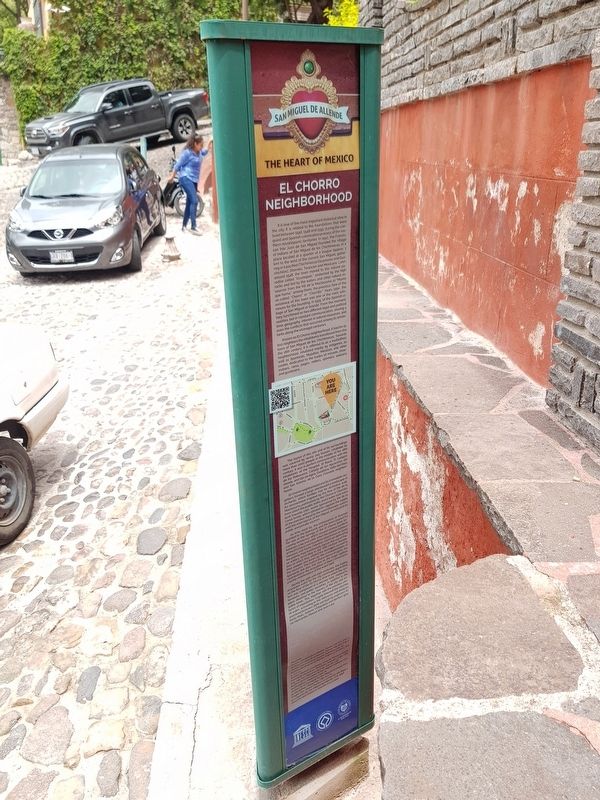
It is one of the most important historical sites in the city. It is related to the foundations that were lived between 1542, 1548 and 1555, during the conquest and Spanish colonization process of the northern novohispanic territories. In 1542, the Franciscan friar Juan de San Miguel founded the village of Indians of San Miguel de los Chichimecas, in a place located at a quarter of a league (approx. 1 km) to the west of the current
San Miguel, gathering in it pacified Chichimecas (Guamares and Guachichiles), Otomíes, Tarascan and Mexicans. Later, around 1548, the town moved to this natural paradise called "Izcuinapan"; protected by high rocks and fed by the waters and other natural resources from the hill de la Moctezuma or “Monte que huma”, among them the precious flow of the so-called “Chorro” or “Chorrillo”. Years later, the existence of this town was one of the main references for the founding, in 1555, of the Spanish village of San Miguel el Grande. From this moment, they functioned as two different legal and political realities, but in constant communication, sharing a time, geography, interest in natural resources, and even the conflicts that occurred among its inhabitants along the viceregal centuries.
Known as El Chorro neighborhood, it had for its first neighbors the inhabitants transferred from the town of San Miguel de los Chichimecas. Towards the 18th century, it is referred to as a multiethnic neighborhood, inhabited mostly by indigenes, as well as Spaniards, Mulattos, Mestizos and other castes, dedicated to the trades of masons, shoemakers, rams, pages, millers, spinners, weavers and gardeners.
The layout of this site and of its surroundings was covered by nearly 244 houses, inhabited by more than 2000 people in the middle of the 18th century.
It was in perfect communication with the inhabitants of the Hospital, El Rosal, El Callejón de los Reboceros, Cañada de los Aguacates old streets, and Ojo de Agua, Guadiana, Valle del Maíz, and San Antonio de la Casa Colorada neighborhoods.
El Chorro neighborhood and its immediate neighbors formed a large and beautiful landscape of orchards, which families had for dominical walks. An environment irrigated by the flow of the de la Moctezuma, particularly by the Chorro or Chorrillo, from which the public baths and a water tank were built towards 1750, works sponsored by the de la Canal family, which allowed to regulate the supply of the precious liquid to the extended pipe system until the main layout of San Miguel, as well as to its public and private sources.
As time went by, the concessions or licenses granted to the Spaniards and the town council for the use of the springs of the El Chorro were becoming numerous, which caused serious conflicts between 1745 and 1766, when the people (settlers) of the El Chorro and Guadiana (also known as Santa Veracruz and Santa Catarina), stood up defending the priority they traditionally had on the use of the waters, according to the 16th century foundation; to which they added the damages caused to their people and lands by the overexploitation of the resource. The truth is that in terms of rights, the Spaniards felt also full, due to the large capitals contributed in the acquisition of their concessions and the maintenance of the water tank.
During the 19th and 20th centuries, the supply of potable water for the city continued depending on the flow of the El Chorro, time in which the system was composed of a delivery tank, restrooms, fountains and public laundries, in addition to the pipes destined to the houses of the city and irrigable lands. This, together with the previous centuries of exploitation, largely lowered the volumes of water, according to the measures and analyses practiced between 1876 and 1930 by engineers Alberto Malo, Antonio Urdapilleta and doctors Ignacio Hernández Macías and Juan Lara.
Sources: Repeated from the Spanish text
Erected by El Honorable Ayuntamiento de San Miguel de Allende y UNESCO.
Topics. This historical marker is listed in these topic lists: Colonial Era • Man-Made Features • Native Americans • Settlements & Settlers. A significant historical year for this entry is 1542.
Location. 20° 54.533′ N, 100° 44.437′ W. Marker is in San Miguel de Allende, Guanajuato. Marker is on Chorro just east of Recreo, on the right when traveling north. Touch for map. Marker is in this post office area: San Miguel de Allende GTO 37700, Mexico. Touch for directions.
Other nearby markers. At least 8 other markers are within walking distance of this marker. Izquinapan and the Founding of San Miguel de Allende (here, next to this marker); The Fountain (El Chorro) (a few steps from this marker); Benito Juárez Park (about 120 meters away, measured in a direct line); José Mojica (about 180 meters away); Pedro Vargas (about 210 meters away); Tomás Delgado Diosdado (approx. 0.4 kilometers away); Juan José Martínez (approx. 0.4 kilometers away); Luis Pérez Lara (approx. half a kilometer away). Touch for a list and map of all markers in San Miguel de Allende.
Credits. This page was last revised on September 1, 2020. It was originally submitted on October 14, 2019, by J. Makali Bruton of Accra, Ghana. This page has been viewed 242 times since then and 41 times this year. Photos: 1, 2, 3, 4, 5, 6. submitted on October 14, 2019, by J. Makali Bruton of Accra, Ghana.
