Kingston, Ontario — Central Canada (North America)
Lower Burial Ground 1783-1863
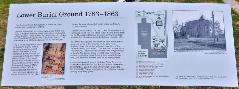
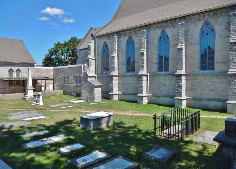
Loyalists, who wanted to continue living under British rule, came to Kingston after the American Revolution. A Loyalist soldier, Corporal Forbes of the King's Royal Regiment of New York (Royal Greens), was the first to be buried here in 1783. There were about 600 more burials over the next 80 years.
This is the resting place of most of Kingston's original settlers including several prominent people. The bodies of some aboriginals, slaves, soldiers and sailors also lie here. One notable person interred in this burial ground is the Mohawk matriarch Konwatsi'tsyayén:ni later called Tekonwatón:ti (Mary or "Molly" Brant) (c 1736-1796). An Anglican Loyalist, she was the consort and close advisor of Sir William Johnson (c 1715-1774). He was the superintendent of Indian affairs for Britain's northern colonies.
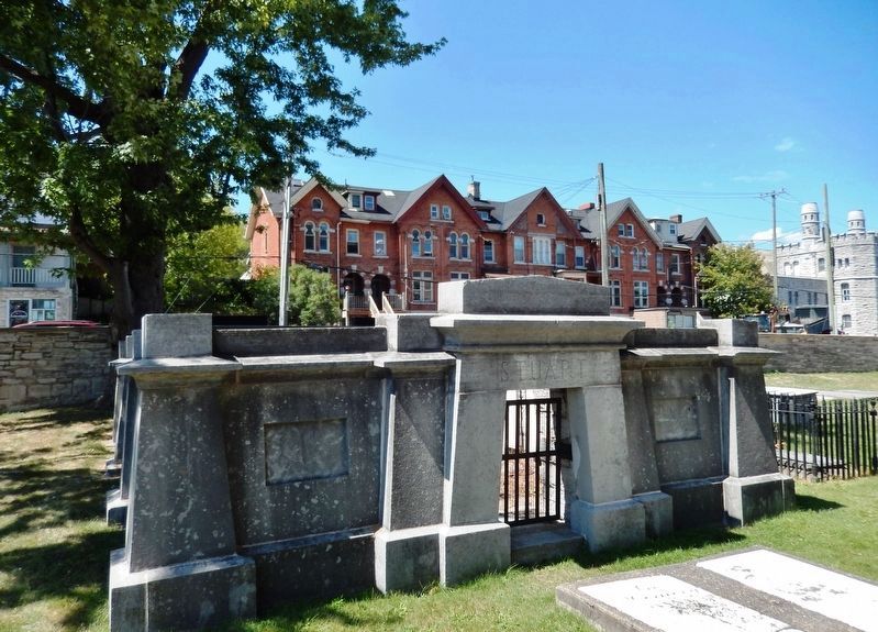
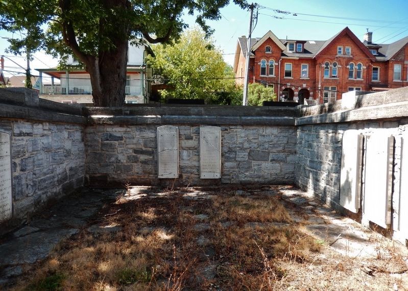
The Rev. John Stuart (c 1740-1811) and ten members of his family are buried here in a walled "Lair". He was a missionary to the Mohawks and founded the Anglican Church in Upper Canada. John Stuart consecrated this burial ground in 1784.
In addition to Anglicans, Protestants of other denominations were also buried in this cemetery in the early years. Anglican clergy officiated at all burials, regardless of the deceased person's actual faith. This was unacceptable to the Presbyterians. They wanted to have their own clergy officiate at burials. The dispute ended in 1825 when the military cemetery, called the Upper Burial Ground (now McBurney Park), was expanded to make room for the Presbyterians.
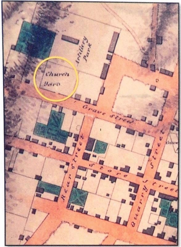
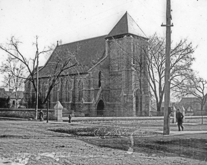
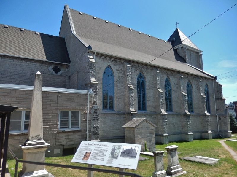
A stone wall was built around the Lower Burial Ground in 1799-1808. Remnants of that wall still exist in the section along Montreal Street. St. Paul's Church (1845) and the Parish Hall (1872) were both built on parts of these grounds, covering many early graves.
Erected 2014 by Lower Burial Ground Restoration Society, and City of Kingston Heritage Fund.
Topics. This historical marker is listed in these topic lists: Cemeteries & Burial Sites • Churches & Religion • Colonial Era • Settlements & Settlers. A significant historical year for this entry is 1783.
Location. 44° 14.002′ N, 76° 29.095′ W. Marker is in Kingston, Ontario. Marker can be reached from Montreal Street north of Queen Street, on the right when traveling north. Marker is located on the west side of Saint Paul's Anglican Church, overlooking the church graveyard. Touch for map. Marker is at or near this postal address: 137 Queen Street, Kingston ON K7K 1A8, Canada. Touch for directions.
Other nearby markers. At least 8 other markers are within walking distance of this marker. St. Paul's Churchyard (within shouting distance of this marker); Molly Brant
(within shouting distance of this marker); Queen Street Synagogue (within shouting distance of this marker); Discover the History of the Anna Lane Site (within shouting distance of this marker); Bishop Alexander Macdonell (approx. 0.4 kilometers away); Kingston Post Office / Bureau de Poste de Kingston (approx. 0.4 kilometers away); René-Amable Boucher 1735-1812 (approx. 0.4 kilometers away); The First Meeting of the Executive Council of Upper Canada (approx. 0.4 kilometers away). Touch for a list and map of all markers in Kingston.
More about this marker. Kingston is independent from the surrounding Frontenac County.
Photographed By Robert Cardwell
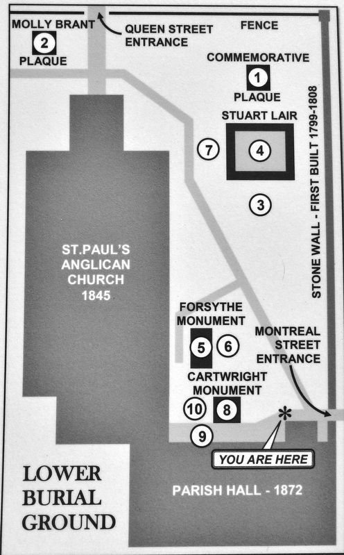
3. Marker detail: Legend to Numbered Memorials
(1) Military, Naval, civilian unmarked burials 1783-1863 (grave locations now unknown)
(2) Molly Brant c.1736-1796
(grave location unknown)
(3) Captain Sir Robert Hall c.1778-1818
(4) Rev. Dr. John Stuart c.1740-1811
(5) Joseph Forsyth c.1760-1813
(6) Robert Macaulay 1744-1800
(7) Thomas Markland 1757-1840
(8) Hon. Richard Cartwright 1759-1815
(9) Col. Sir Richard Bonnycastle
1791-1847 (grave now obscured)
(10) Hugh Earl c.1765-1841
Credits. This page was last revised on March 27, 2024. It was originally submitted on October 21, 2019, by Cosmos Mariner of Cape Canaveral, Florida. This page has been viewed 270 times since then and 45 times this year. Photos: 1, 2, 3, 4, 5, 6, 7, 8. submitted on October 24, 2019, by Cosmos Mariner of Cape Canaveral, Florida.
