Kingston, Ontario — Central Canada (North America)
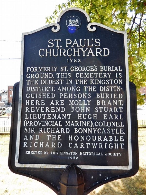
St. Paul's Churchyard
1783
Erected 1958 by Kingston Historical Society.
Topics. This historical marker is listed in these topic lists: Cemeteries & Burial Sites • Churches & Religion • Colonial Era • Settlements & Settlers. A significant historical year for this entry is 1783.
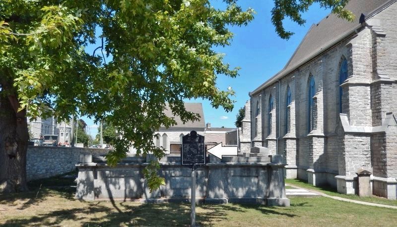
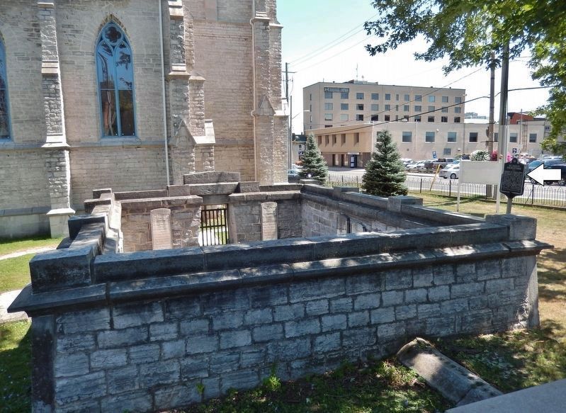
Location. 44° 13.986′ N, 76° 29.101′ W. Marker is in Kingston, Ontario. Marker can be reached from Queen Street just east of Montreal Street, on the right when traveling west. Marker is located in the Saint Paul's Anglican Church graveyard. Touch for map. Marker is at or near this postal address: 137 Queen Street, Kingston ON K7K 1A8, Canada. Touch for directions.
Other nearby markers. At least 8 other markers are within walking distance of this marker. Molly Brant (within shouting distance of this marker); Lower Burial Ground 1783-1863 (within shouting distance of this marker); Queen Street Synagogue (within shouting distance of this marker); Discover the History of the Anna Lane Site (within shouting distance of this marker); Bishop Alexander Macdonell (approx. 0.4 kilometers away); Kingston Post Office / Bureau de Poste de Kingston (approx. 0.4 kilometers away); René-Amable Boucher 1735-1812 (approx. 0.4 kilometers away); The First Meeting of the Executive Council of Upper Canada (approx. 0.4 kilometers away). Touch for a list and map of all markers in Kingston.
More about this marker. Kingston is independent from the surrounding Frontenac County.
Also see . . . Kingston's Lower Burial Ground. Kingston's Lower Burial Ground was laid out in 1783 in anticipation of the arrival of Loyalists at Cataraqui after the American Revolution. Many early citizens of Kingston are buried here, including prominent residents, black slaves brought by the Loyalists, sailors of the Lakes and American prisoners of the War of 1812. (Submitted on October 25, 2019, by Cosmos Mariner of Cape Canaveral, Florida.)
Credits. This page was last revised on March 27, 2024. It was originally submitted on October 21, 2019, by Cosmos Mariner of Cape Canaveral, Florida. This page has been viewed 171 times since then and 30 times this year. Photos: 1. submitted on October 24, 2019, by Cosmos Mariner of Cape Canaveral, Florida. 2, 3. submitted on October 25, 2019, by Cosmos Mariner of Cape Canaveral, Florida.


