Anacostia Park in Southeast Washington in Washington, District of Columbia — The American Northeast (Mid-Atlantic)
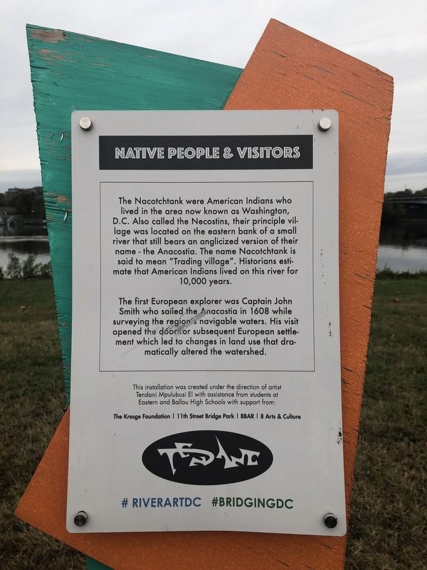
Native People & Visitors
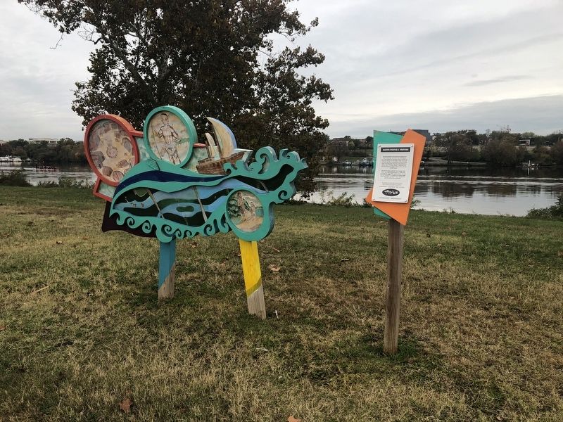
The Nacotchtank were American Indians who lived in the area now known as Washington, D.C. Also called the Necostins, their principle village was located on the eastern bank of a small river that still bears an anglicized version of their name — the Anacostia. The name Nacotchtank is said to mean "Trading village". Historians estimate that American Indians lived on this river for 10,000 years.
The first European explorer was Captain John Smith who sailed the Anacostia in 1608 while surveying the region's navigable waters. His visit opened the door for subsequent European settlement which led to changes in land use that dramatically altered the watershed.
Erected by Tendani Mpulubusi El with assistance from students at Eastern and Ballou High Schools with support from The Kresge Foundation, 11th Street Bridge Park, BBAR, 8 Arts & Culture.
Topics. This historical marker is listed in these topic lists: Colonial Era • Exploration • Native Americans • Settlements & Settlers • Waterways & Vessels. A significant historical year for this entry is 1608.
Location. 38° 52.496′ N, 76° 58.798′ W. Marker is in Southeast Washington in Washington, District of Columbia. It is in Anacostia Park. Marker is on Anacostia Drive , 0.7 miles east of Good Hope Road Southeast, on the left when traveling east. Touch for map. Marker is at or near this postal address: 1900 Anacostia Drive, Washington DC 20020, United States of America. Touch for directions.
Other nearby markers. At least 8 other markers are within walking distance of this marker. Flora & Fauna (approx. ¼ mile away); Peter Perkins Pitchlynn (approx. 0.3 miles away); September 11 Healing Poles (approx. 0.4 miles away); Seafarers Yacht Club (approx. 0.4 miles away); Hillsdale & Frederick Douglass (approx. 0.4 miles away); Lee Dittman Shapiro 1949-1987 / James T. Lindelof 1957-1987 (approx. 0.4 miles away); September 11 Memorial Path (approx. 0.4 miles away); John Philip Sousa (approx. 0.4 miles away). Touch for a list and map of all markers in Southeast Washington.
Credits. This page was last revised on September 13, 2023. It was originally submitted on October 26, 2019, by Devry Becker Jones of Washington, District of Columbia. This page has been viewed 164 times since then and 13 times this year. Photos: 1, 2. submitted on October 26, 2019, by Devry Becker Jones of Washington, District of Columbia.

