Rogersville in Lauderdale County, Alabama — The American South (East South Central)
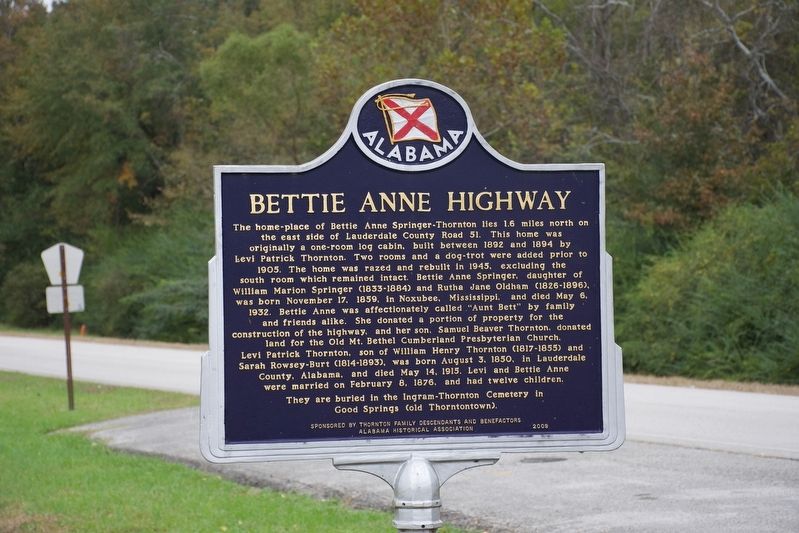
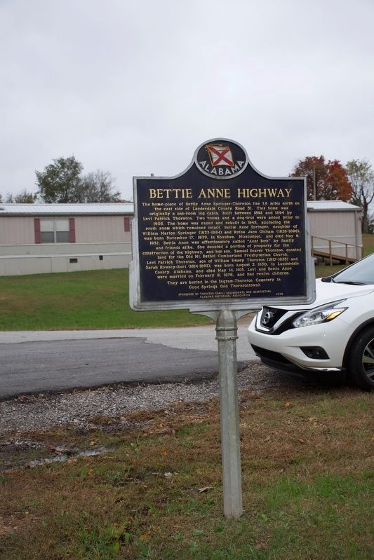
Bettie Anne Highway
The home-place of Bettie Anne Springer-Thornton lies 1.6 miles north on the east side of Lauderdale County Road 51. This home was originally a one-room log cabin, built between 1892 and 1894 by Levi Patrick Thornton. Two rooms and a dog-trot were added prior to 1905. The home was razed and rebuilt in 1945, excluding the south room which remained intact. Bettie Anne Springer, daughter of William Marion Springer (1833-1884) and Ruth Jane Oldham (1826-1896), was born November 17, 1859, in Noxubee, Mississippi, and died May 6, 1932. Bettie Anne was affectionately called “Aunt Bett” by family and friends alike. She donated a portion of the property for the construction of the highway, and her son, Samuel Beaver Thornton, donated land for the Old Mt. Bethel Cumberland Presbyterian Church. Levi Patrick Thornton, son of William Henry Thornton (1817-1855) and Sarah Rowsey-Burt (1814-1893), was born August 3, 1850, in Lauderdale County, Alabama, and died May 14, 1915. Levi and Betti Anne were married on February 8, 1876, had had twelve children. They are buried in the Ingram-Thornton Cemetery in Good Springs (Old Thorntontown)
Erected 2009 by Sponsored by Thornton Family Descendants and Benefactors Alabama Historical Association.
Topics and series. This historical marker is listed in these topic lists: Cemeteries & Burial Sites • Roads & Vehicles • Settlements & Settlers • Women. In addition, it is included in the Alabama Historical Association series list. A significant historical date for this entry is November 17, 1859.
Location. 34° 50.142′ N, 87° 20.309′ W. Marker is in Rogersville, Alabama, in Lauderdale County. Marker is at the intersection of County Road 568 and County Road 51, on the left when traveling west on County Road 568. Touch for map. Marker is at or near this postal address: 532 County Road 568, Rogersville AL 35652, United States of America. Touch for directions.
Other nearby markers. At least 8 other markers are within 3 miles of this marker, measured as the crow flies. Samuel Burney: 1763-1849 Revolutionary War Veteran / Burneys Creek/First Creek Wheeler Lake (approx. 1.1 miles away); Return of a Native (approx. 1.6 miles away); General Joseph Wheeler (approx. 1.7 miles away); Covington/Second Creek / Wheeler Dam/Lake (approx. 2 miles away); Rogersville Presbyterian Church in the U.S.A. (approx. 2˝ miles away); Heritage Park (approx. 2˝ miles away); Lamb’s Ferry Road (approx. 2.6 miles away); Lauderdale County High School 1912 (approx. 2.8 miles away). Touch for a list and map of all markers in Rogersville.
Credits. This page was last revised on October 31, 2019. It was originally submitted on October 30, 2019, by Sandra Hughes Tidwell of Killen, Alabama, USA. This page has been viewed 631 times since then and 66 times this year. Photos: 1, 2. submitted on October 30, 2019, by Sandra Hughes Tidwell of Killen, Alabama, USA. • Devry Becker Jones was the editor who published this page.

