Rosslyn in Arlington in Arlington County, Virginia — The American South (Mid-Atlantic)
Avenue of Heroes
George Washington Memorial Parkway
| — | National Park Service, U.S. Department of the Interior | — |
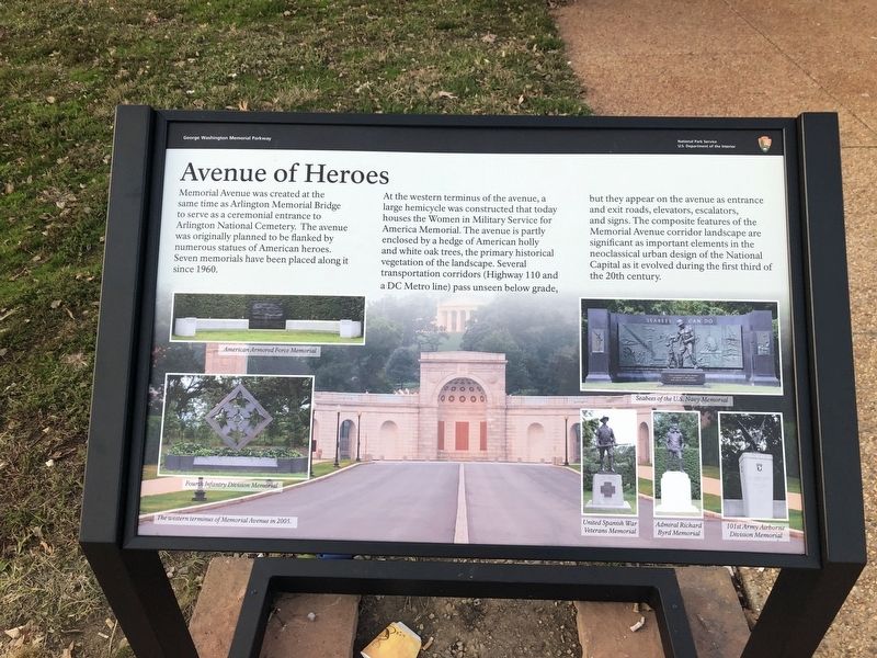
Memorial Avenue was created at the same time as Arlington Memorial Bridge to serve as a ceremonial entrance to Arlington National Cemetery. The avenue was originally planned to be flanked by numerous statues of American heroes. Seven memorials have been placed along it since 1960.
At the western terminus of the avenue, a large hemicycle was constructed that today houses the Women in Military Service for the America Memorial. The avenue is partly enclosed by a hedge of American holly and white oak trees, the primary historical vegetation of the landscape. Several transportation corridors (Highway 110 and a DC Metro line) pass unseen below grade, but they appear on the avenue as entrance and exit roads, elevators, escalators, and signs. The composite features of the Memorial Avenue corridor landscape are significant as important elements in the neoclassical urban design of the National Capital as it evolved during the first third of the 20th century.
[Captions:]
• American Armored Force Memorial
• Fourth Infantry Division Memorial
• The western terminus of Memorial Avenue in 2005.
• Seabees of the U.S. Navy Memorial
• United Spanish War Veterans Memorial
• Admiral Richard Byrd Memorial
• 101st Army Airborne Division Memorial
Erected 2019
this page online
Topics. This historical marker is listed in these topic lists: Architecture • Cemeteries & Burial Sites • Roads & Vehicles • Women. A significant historical year for this entry is 1960.
Location. 38° 53.065′ N, 77° 3.819′ W. Marker is in Arlington, Virginia, in Arlington County. It is in Rosslyn. It is at the intersection of Memorial Avenue and Richmond Highway (Route 110), on the right when traveling west on Memorial Avenue. Touch for map. Marker is in this post office area: Arlington VA 22209, United States of America. Touch for directions.

Regionally, this marker is in the Washington Metropolitan Area and in Northern Virginia. It is also in the American South, specifically in the Upper South, in the Mid-Atlantic, and on the Eastern Seaboard. Globally, it is in the North Atlantic Region, North America, the Western Hemisphere, the Western World, and the Anglosphere. Historically, it finds itself in what was once the territory of the Mississippian Culture, one of the original Thirteen Colonies, one of the Confederate States of America, and the Antebellum
Other nearby markers. At least 8 other markers are within walking distance of this marker: Bridge to Peace (a few steps from this marker); a different marker also named Bridge to Peace (within shouting distance of this marker); The Hiker (within shouting distance of this marker); Seabees ~ Can Do (within shouting distance of this marker); 4th Infantry (Ivy) Division (about 300 feet away, measured in a direct line); A Symbol of Union (about 600 feet away); A Symbol of Reconciliation (about 600 feet away in District of Columbia); Richard Evelyn Byrd (about 700 feet away). Touch for a list and map of all markers in Arlington.
Photographed by Evan Dwyer, May 9, 2026
3. Avenue of Heroes
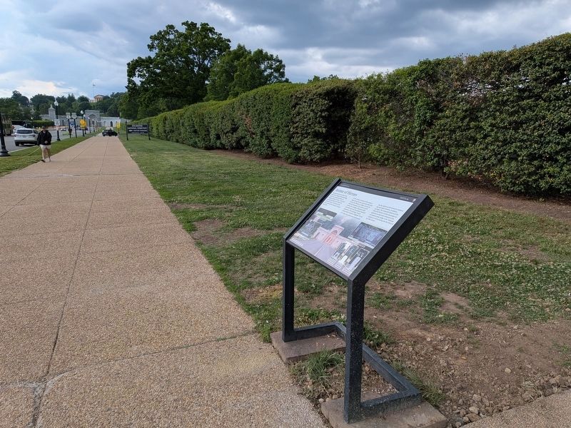
View past the marker. The Hemicycle (which contains the Military Women's Memorial) is at distant left.
Photographed by Evan Dwyer, May 9, 2026
4. Avenue of Heroes
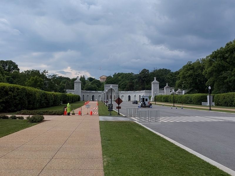
View of the avenue further towards the Hemicycle and on the south side of the road. On the left, out of sight in the break between the bushes, is the Armored Forces Memorial. On the opposite side of the road, the 101st Airborne Memorial is visible. The Hemicycle, as a facade, dates to 1932 - but the Military Women's Memorial was built into the hill behind it, using that facade, in the 1990s.
Credits. This page was last revised on July 9, 2026. It was originally submitted on November 4, 2019, by Devry Becker Jones of Washington, District of Columbia. This page has been viewed 532 times since then and 32 times this year. Photos: 1, 2. submitted on November 4, 2019, by Devry Becker Jones of Washington, District of Columbia. 3, 4. submitted on July 7, 2026, by Evan Dwyer of Richmond, Virginia.
