North Murderkill Hundred in Willow Grove in Kent County, Delaware — The American Northeast (Mid-Atlantic)
Samuel D. Burris
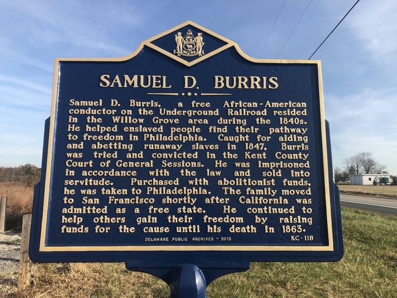
Erected 2015 by Delaware Public Archives. (Marker Number KC-118.)
Topics and series. This historical marker is listed in these topic lists: Abolition & Underground RR • African Americans • Civil Rights • Law Enforcement. In addition, it is included in the Delaware Public Archives series list. A significant historical year for this entry is 1847.
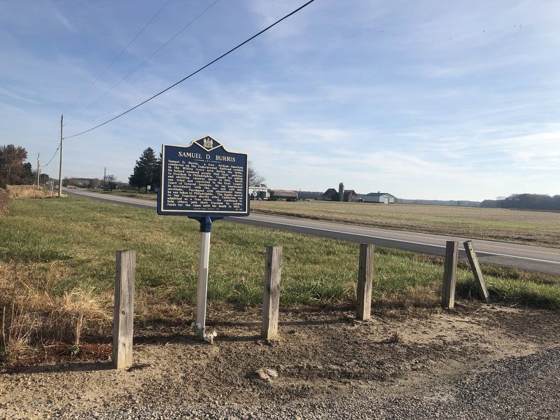
Location. 39° 3.599′ N, 75° 38.209′ W. Marker is in Willow Grove, Delaware, in Kent County. It is in North Murderkill
this page online

Regionally, this marker is in the American Mid-Atlantic, on the Delmarva Peninsula, and on the Eastern Seaboard. Globally, it is in the North Atlantic Region, North America, the Western Hemisphere, the Western World, and the Anglosphere. Historically, it finds itself in what was once New Netherland, one of the original Thirteen Colonies, and the Antebellum South.
Other nearby markers. At least 8 other markers are within 5 miles of this marker, measured as the crow flies: Immigrant Jewish Farmers (approx. 2.7 miles away); Cow Marsh Primitive Baptist Church (approx. 3.3 miles away); Woodside United Methodist Church (approx. 3.8 miles away); North Murderkill Hundred (approx. 4.4 miles away); Thomas' Chapel (approx. 4½ miles away); Felton Railroad Station (approx. 4.7 miles away); Honor and Remember (approx. 4.8
Internet Archive
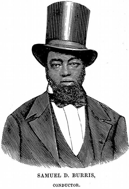
3. Samuel D. Burris,
Conductor.
Conductor.
from The Underground Rail Road by William Still, 1872, between pages 718 & 719.
Credits. This page was last revised on May 15, 2026. It was originally submitted on November 11, 2019, by Devry Becker Jones of Washington, District of Columbia. This page has been viewed 969 times since then and 44 times this year. Photos: 1, 2. submitted on November 11, 2019, by Devry Becker Jones of Washington, District of Columbia. 3. submitted on October 23, 2022, by Allen C. Browne of Silver Spring, Maryland.
