San Miguel de Allende, Guanajuato, Mexico — The Central Highlands (North America)
Complex B: The House of the Longest Night
Inscription.
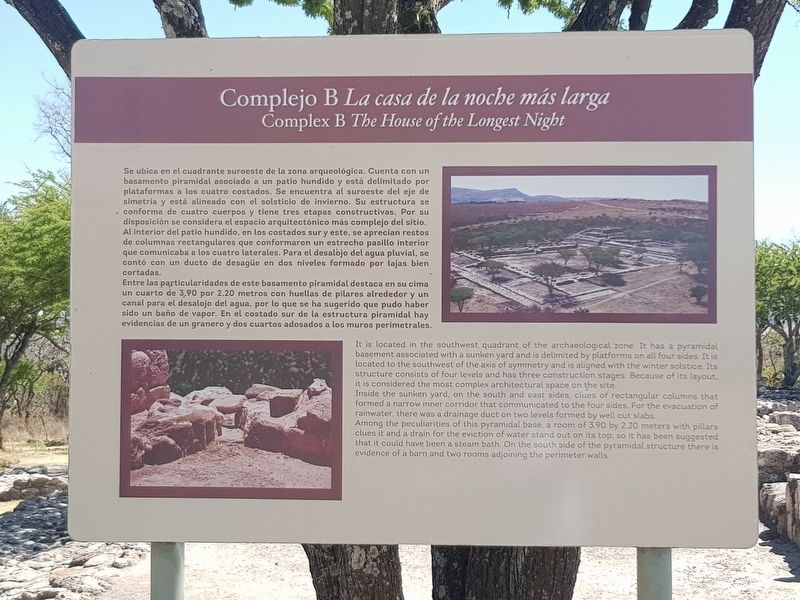
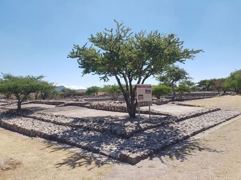
Se ubica en el cuadrante sureste de la zona arqueológica. Cuenta con un basamento piramidal asociado a un patio hundido y está delimitado por plataformas a los cuatro costados. Se encuentra al suroeste del eje de simetría y está alineado con el solsticio de invierno. Su estructura se conforma de cuatro cuerpos y tiene tres etapas constructivas. Por su disposición se considera el espacio arquitectónico más complejo del sitio. Al interior del patio hundido, en los costados sur y este, se aprecian restos de columnas rectangulares que conformaron un estrecho pasillo interior que comunicaba a los cuatro laterales. Para el desalojo del agua pluvial, se contó con un ducto de desague en dos niveles formado por lajas bien cortadas.
Entre las particularidades de este basamento piramidal destaca en su cima un cuarto de 3.90 por 2.20 metros con huellas de pilares alrededor y un canal para el desalojo del agua, por lo que se ha sugerido que pudo haber sido un baño de vapor. En el costado sur de la estructura piramidal hay evidencias de un granero y dos cuartos adosados a los muros perimetrales.
Complex B The House of the Longest Night
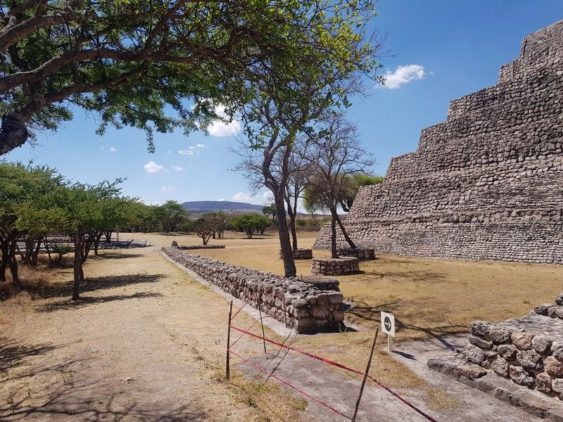
It is located in the southwest quadrant of the archaeological zone. It has a pyramidal basement associated with a sunken yard and is delimited by platforms on all four sides. It is located to the southwest of the axis of symmetry and is aligned with the winter solstice. Its structure consists of four levels and has three construction stages. Because of its layout, it is considered the most complex architectural space on the site.
Inside the sunken yard, on the south and east sides, clues of rectangular columns that formed a narrow inner corridor that communicated ot the four sides. For the evacuation of rainwater, there was a drainage duct on two levels formed by well cut slabs.
Among the peculiarities of this pyramidal base, a room of 3.90 by 2.20 meters with pillars clues it and a drain for the eviction of water stand out on its top, so it has been suggested that it could have been a steam bath. On the south side of the pyramidal structure there is evidence of a barn and two rooms adjoining the perimeter walls.
Erected by Consejo Nacional para la Cultura y las Artes de México (CONACULTA)-INAH.
Topics. This historical marker is listed in these topic lists: Anthropology & Archaeology
• Man-Made Features • Native Americans.
Location. 20° 51.475′ N, 100° 55.732′ W. Marker is in San Miguel de Allende, Guanajuato. Marker can be reached from Route 67. The marker is near Complex B at the archaeological site of Cañada de la Virgen. The archaeological site of Cañada de la Virgen is to the left when traveling north on State Road 67, some 30 km west of San Miguel de Allende. Touch for map. Marker is in this post office area: San Miguel de Allende GTO 37701, Mexico. Touch for directions.
Other nearby markers. At least 8 other markers are within walking distance of this marker. Burial 18 The Decapitated Man (within shouting distance of this marker); Burial 13 The hierarch and ancestral veneration (within shouting distance of this marker); Layout and Architecture (about 90 meters away, measured in a direct line); Observing the Stars (about 90 meters away); Complex A The House of the Thirteen Heavens (about 120 meters away); Complex D. The wind house. (The house of the wind) (about 120 meters away); Cañada de la Virgen: A Ceremonial Civic Center in the Laja River Basin Marker (about 180 meters away); Ceremonial Road (about 210 meters away). Touch for a list and map of all markers in San Miguel de Allende.
Credits. This page was last revised on September 1, 2020. It was originally submitted on November 19, 2019, by J. Makali Bruton of Accra, Ghana. This page has been viewed 79 times since then and 6 times this year. Photos: 1, 2, 3. submitted on November 19, 2019, by J. Makali Bruton of Accra, Ghana.


