Bunker Hill in Macoupin County, Illinois — The American Midwest (Great Lakes)
Bunker Hill Indian Trail
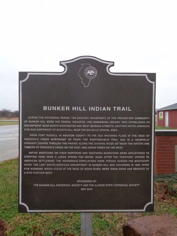
During the historical period, the earliest inhabitants of the present-day community of Bunker Hill were the Peoria, Kickapoo, and Winnebago Indians who established an encampment near North Washington and West Morgan Streets. Another Native American site was northeast of Bunker Hill near the Millville School area.
From Fort Russell in Madison County to the old watering place at the head of Paddock’s Creek northeast of town, the eighteen-mile trail ran in a generally straight course through the prairie along the dividing ridge between the waters and timbers of Paddock’s Creek on the east, and Indian Creek on the west.
Native Americans on their northern and southern migrations were accustomed to stopping here near a large spring for water. Soon after the territory opened to American settlement, the indigenous populations were forced across the Mississippi River. The last Native American encampment in Bunker Hill was recorded in 1828, when five wigwams, which stood at the head of Wood River, were taken down and removed to a site further west.
Erected 2010 by The Bunker Hill Historical Society and the Illinois State Historical Society.
Topics and series. This historical marker is listed in these topic lists: Native Americans • Roads & Vehicles • Settlements & Settlers • Waterways & Vessels. In addition, it is included in the Illinois State Historical Society series list. A significant historical year for this entry is 1828.
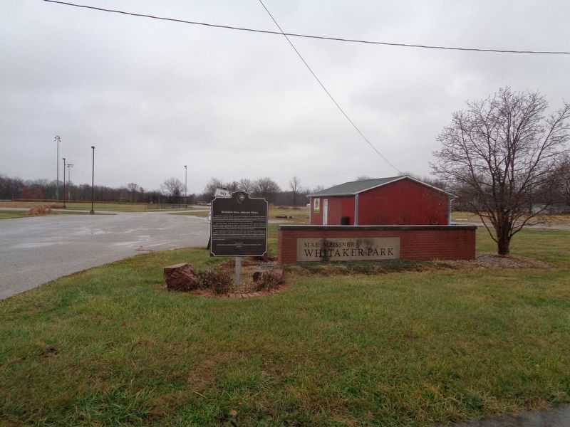
Location. 39° 3.087′ N, 89° 57.094′ W. Marker is in Bunker Hill, Illinois, in Macoupin County. Marker is on Bunker Hill Road (Illinois Route 159) 0.1 miles East North Street, on the right when traveling north. Marker is located at the entrance of Mae Meissner Whitaker Park. Touch for map. Marker is at or near this postal address: 3600 Bunker Hill Road, Bunker Hill IL 62014, United States of America. Touch for directions.
Other nearby markers. At least 8 other markers are within 10 miles of this marker, measured as the crow flies. Macoupin & Chestnut Streets (approx. 8.9 miles away); Veterans Memorial (approx. 8.9 miles away); Dedicated to the Soldiers and Sailors of Gillespie (approx. 8.9 miles away); Heart of Coal Country (approx. 9 miles away); Founding of the Progressive Miners of America (approx. 9 miles away); a different marker also named Veterans Memorial (approx. 9.1 miles away); Ill. Traction System (approx. 9.1 miles away); Historic Route 66 Illinois (approx. 9.7 miles away).
More about this marker. Marker was dedicated on May 1, 2010 (according to the ISHS's website).
Also see . . . City of Bunker Hill. City website homepage (Submitted on August 16, 2022, by Larry Gertner of New York, New York.)
Credits. This page was last revised on August 16, 2022. It was originally submitted on December 2, 2019, by Jason Voigt of Glen Carbon, Illinois. This page has been viewed 619 times since then and 37 times this year. Photos: 1, 2. submitted on December 2, 2019, by Jason Voigt of Glen Carbon, Illinois. • Devry Becker Jones was the editor who published this page.

