Hillsboro in Jefferson County, Missouri — The American Midwest (Upper Plains)
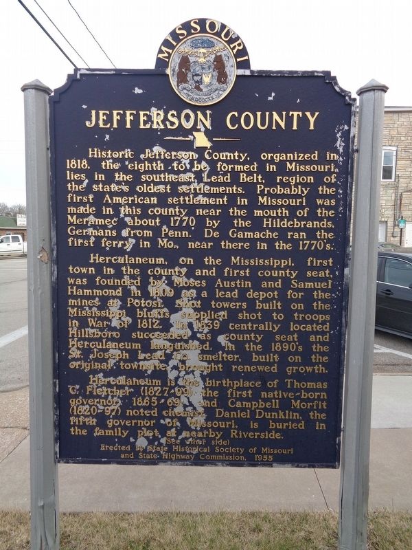
Jefferson County
Herculaneum, on the Mississippi, first town in the county and first county seat, was founded by Moses Austin and Samuel Hammond in 1809 as a lead depot for the mines at Potosi. Shot towers built on the Mississippi bluffs supplied shot to troops in War of 1812. In 1839 centrally located Hillsboro succeeded as county seat and Herculaneum languished. In the 1890's the St. Joseph Lead Co. smelter, built on the original townsite, brought renewed growth.
Herculaneum is the birthplace of Thomas C. Fletcher (1827-99) the first native-born governor, 1865-69; and Campbell Morfit (1820-97) noted chemist. Daniel Dunklin, the fifth governor of Missouri, is buried in the family plot at nearby Riverside.
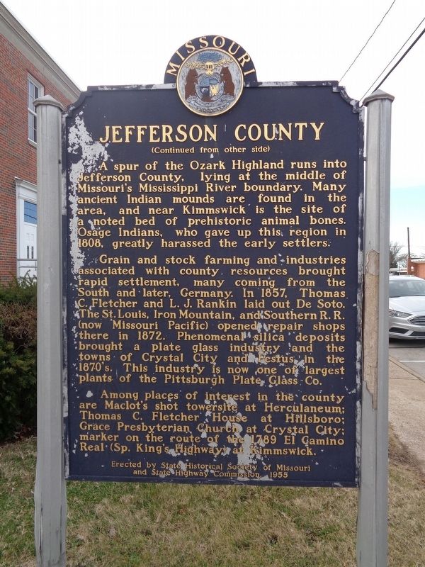
A spur of the Ozark Highland runs into Jefferson County, lying at the Missouri's Mississippi River boundary. Many ancient Indian mounds are found in the area, and near Kimmswick is the site of a noted bed of prehistoric animal bones. Osage Indians, who gave up this region in 1808, greatly harassed the early settlers.
Grain and stock farming and industries associated with county resources brought rapid settlement, many coming from the South and later, Germany. In 1857, Thomas C. Fletcher and L.J. Rankin laid out De Soto. The St. Louis, Iron Mountain, and Southern R.R. (now Missouri Pacific) opened repair shops there in 1872. Phenomenal silica deposits brought a plate glass industry and the towns of Crystal City and Festus in the 1870's. This industry is now one of largest plants of the Pittsburgh Plate Glass Co.
Among places of interest in the county are Maclot's shot towersite at Herculaneum; Thomas C. Fletcher House at Hillsboro; Grace Presbyterian Church at Crystal City; marker on the route of the 1789 El Camino Real (Sp. King's Highway) at Kimmswick.
Erected 1955 by State Historical Society of Missouri and State Highway Commission.
Topics and series. This historical marker is listed in these topic lists: Agriculture • Industry & Commerce • Native Americans • Roads & Vehicles • Settlements & Settlers • War of 1812 • Waterways & Vessels. In addition, it is included in the Missouri, The State Historical Society of series list.
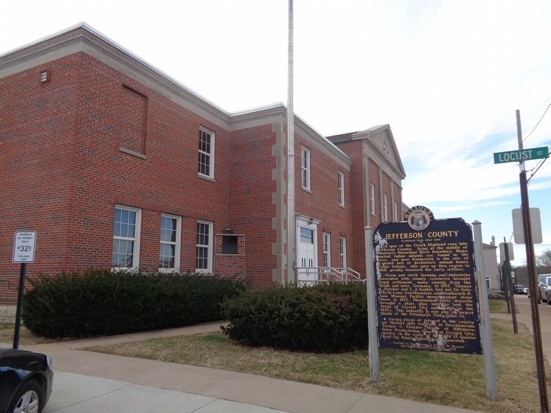
Location. 38° 13.919′ N, 90° 33.825′ W. Marker is in Hillsboro, Missouri, in Jefferson County. Marker is at the intersection of Main Street (State Highway BB) and Locust Street, on the right when traveling east on Main Street. Marker is at the northeast corner of the grounds of Jefferson County Courthouse. Touch for map. Marker is at or near this postal address: 300 Main Street, Hillsboro MO 63050, United States of America. Touch for directions.
Other nearby markers. At least 8 other markers are within 5 miles of this marker, measured as the crow flies. To Commemorate the Removal Of the County Seat From Herculaneum (within shouting distance of this marker); Jefferson County Veterans Memorial (within shouting distance of this marker); The Veterans of all Wars From Jefferson County (about 400 feet away, measured in a direct line); Governor Thomas C. Fletcher House (approx. 0.2 miles away); History of Sandy Creek Covered Bridge (approx. 4.8 miles away); Restoration of Sandy Creek Covered Bridge (approx. 4.8 miles away); Covered Bridges in Missouri (approx. 4.8 miles away); History of Covered Bridges in America (approx. 4.8 miles away). Touch for a list and map of all markers in Hillsboro.
Credits. This page was last revised on December 13, 2019. It was originally submitted on December 12, 2019, by Jason Voigt of Glen Carbon, Illinois. This page has been viewed 361 times since then and 52 times this year. Photos: 1, 2, 3. submitted on December 12, 2019, by Jason Voigt of Glen Carbon, Illinois. • Devry Becker Jones was the editor who published this page.


