Near Bolivar in Jefferson County, West Virginia — The American South (Appalachia)
From Civil War to Civil Rights / Battle of Harpers Ferry
Harpers Ferry National Historical Park
— National Park Service, U.S. Department of the Interior —

Photographed By Devry Becker Jones (CC0), December 29, 2019
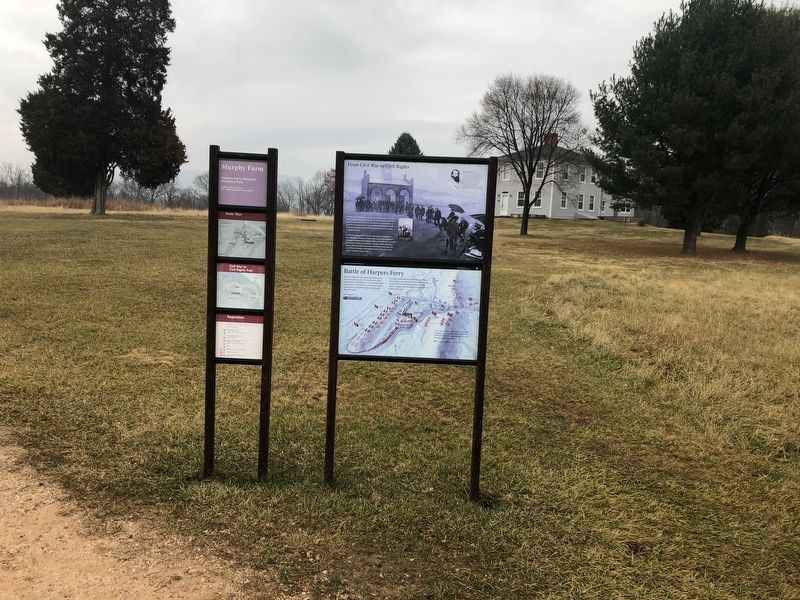
1. From Civil War to Civil Rights / Battle of Harpers Ferry Marker
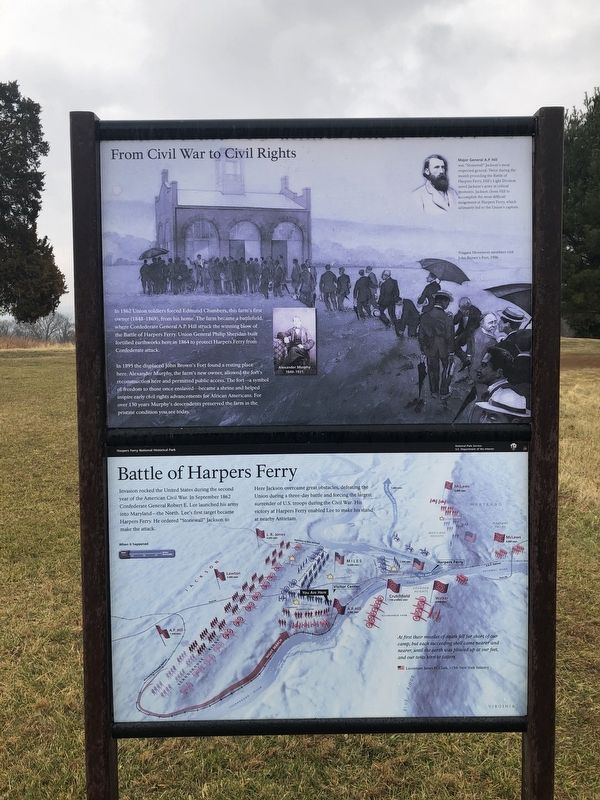
From Civil War to Civil Rights
In 1862 Union soldiers forced Edmund Chambers, this farm's first owner (1848-1869), from his home. The farm became a battlefield, where Confederate General A.P. Hill struck the winning blow of the Battle of Harpers Ferry. Union General Philip Sheridan built fortified earthworks here in 1864 to protect Harpers Ferry from Confederate attack.
In 1895 the displaced John Brown's Fort found a resting place here. Alexander Murphy, the farm's new owner, allowed the fort's reconstruction here and permitted public access. The fort—a symbol of freedom to those once enslaved—became a shrine and helped inspire early civil rights advancements for African Americans. For over 130 years Murphy's descendents preserved the farm in the pristine condition you see today.
[Caption:]
Major General A.P. Hill
was "Stonewall" Jackson's most respected general. Twice during the month preceding the Battle of Harpers Ferry, Hill's Light Division saved Jackson's army at critical moments. Jackson chose Hill to accomplish the most difficult assignment at Harpers Ferry, which ultimately led to the Union's capture.
Battle of Harpers Ferry
Invasion rocked the United States during the second year of the American Civil War. In September 1862 Confederate General Robert E. Lee launched his army into Maryland—the North. Lee's first target became Harpers Ferry. He ordered "Stonewall" Jackson to make the attack.
Here Jackson overcame great obstacles, defeating the Union during a three-day battle and forcing the largest surrender of U.S. troops during the Civil War. His victory at Harpers Ferry enabled Lee to make his stand at nearby Antietam.
At first their missiles of death fell far short of our camp; but each succeeding shell came nearer and nearer, until the earth was plowed up at our feet, and our tents torn to tatters.
Lieutenant James H. Clark, 115th New York Infantry
Erected by National Park Service, U.S. Department of the Interior.
Topics. This historical marker is listed in these topic lists: Abolition & Underground RR • African Americans • Agriculture • Civil Rights • Forts and Castles • War, US Civil. A significant historical month for this entry is September 1862.
Location. 39° 18.738′ N, 77° 45.654′ W. Marker is near Bolivar, West Virginia, in Jefferson County. Marker is on Murphy Road (Local Road 340/5) 0.3 miles south of Campground Road (Local Road 340/17), on the left when traveling south. Touch for map. Marker

Photographed By Devry Becker Jones (CC0), December 29, 2019
2. From Civil War to Civil Rights / Battle of Harpers Ferry Marker
Other nearby markers. At least 8 other markers are within walking distance of this marker. Home Becomes Battlefield (within shouting distance of this marker); Struggle to the Heights (about 500 feet away, measured in a direct line); The Fate of Harpers Ferry was sealed. (about 600 feet away); Gun Position #6 (approx. ¼ mile away); First Major Action (approx. ¼ mile away); Infantry Positions (approx. ¼ mile away); The Abatis (approx. ¼ mile away); Area History (approx. ¼ mile away). Touch for a list and map of all markers in Bolivar.
Credits. This page was last revised on April 23, 2021. It was originally submitted on December 29, 2019, by Devry Becker Jones of Washington, District of Columbia. This page has been viewed 336 times since then and 17 times this year. Photos: 1, 2. submitted on December 29, 2019, by Devry Becker Jones of Washington, District of Columbia. 3. submitted on April 22, 2021, by Bradley Owen of Morgantown, West Virginia.
