Reconstructing the Cultural Landscape
— Choccolocco Park Interpretive Trail —
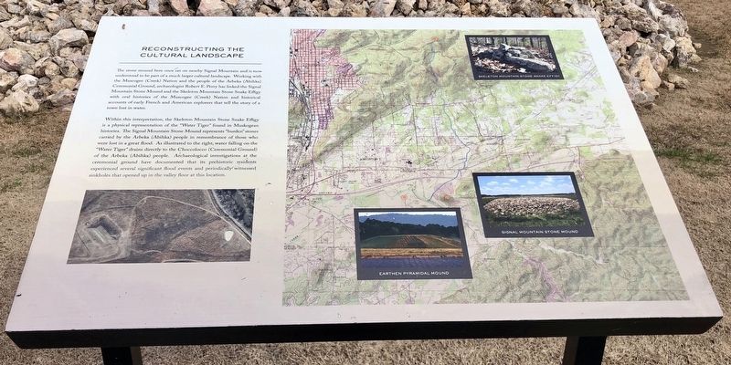
Within this interpretation, the Skeleton Mountain Stone Snake Effigy
is a physical representation of the “Water Tiger” found in Muskogean
histories. The Signal Mountain Stone Mound represents “burden” stones
carried by the Arbeka (Abihka) people in remembrance of those who
were lost in a great flood. As illustrated to the right, water falling on the
“Water Tiger” drains directly to the Choccolocco (Ceremonial Ground)
of the Arbeka (Abihka) people. Archaeological investigations at the
ceremonial ground have documented that its prehistoric residents
experienced several significant flood events and periodically witnessed
sinkholes that opened up in the valley floor at this location.
Erected 2016 by the City of Oxford.
Topics. This historical marker
Location. 33° 36.209′ N, 85° 47.345′ W. Marker is in Oxford, Alabama, in Calhoun County. Marker can be reached from Leon Smith Parkway. Located within Choccolocco Park. Touch for map. Marker is at or near this postal address: 954 Leon Smith Parkway, Oxford AL 36203, United States of America. Touch for directions.
Other nearby markers. At least 8 other markers are within walking distance of this marker. Muscogee (Creek) Nation (about 300 feet away, measured in a direct line); Mississippi Agriculture (about 400 feet away); Better Understandings, New Friendships (about 500 feet away); Mississippi Earthen Mounds (about 700 feet away); The Choccolocco Creek Archaeological Complex (about 700 feet away); The Prehistoric, Protohistoric & Historic Periods (about 700 feet away); a different marker also named Muscogee (Creek) Nation (about 700 feet away); Welcome to the Choccolocco Park (about 700 feet away). Touch for a list and map of all markers in Oxford.
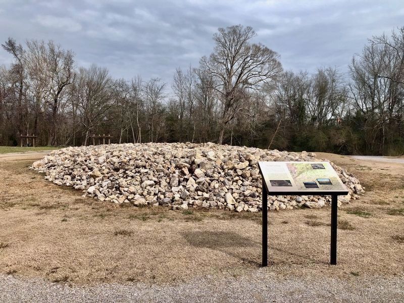
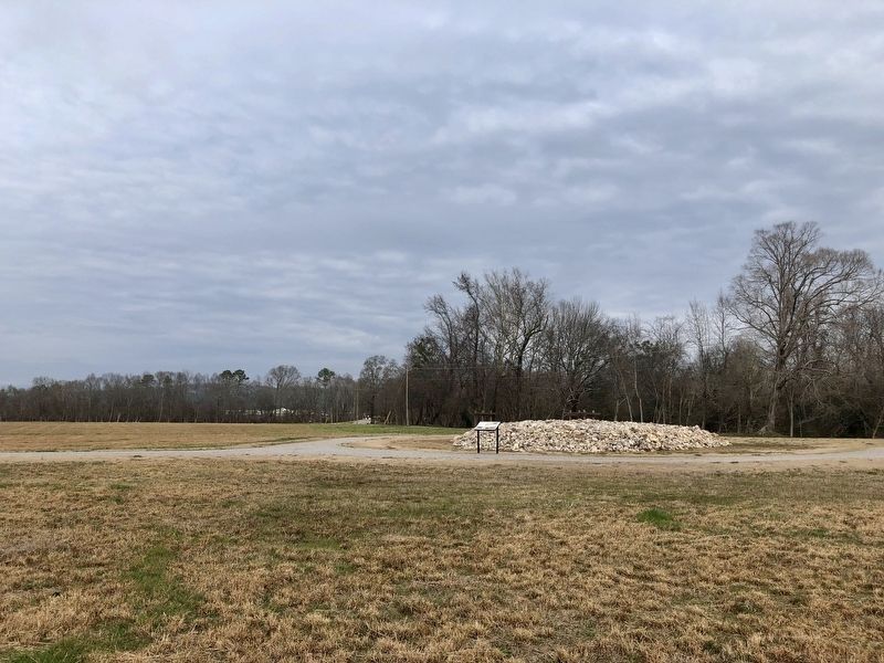
Regarding Reconstructing the Cultural Landscape. In the early 1980s in Oxford, Alabama, a hill known locally as “Signal Mountain” was investigated by Dr. Harry Holstein, Professor of Archaeology at Jacksonville State University. Holstein investigated a huge stone mound on the summit of the mountain that was formed by boulders piled into a 6-foot high oval with a base roughly 100 by 50 feet.
The mound was “accidentally” destroyed in 2009 by construction crews building a shopping center at the base of the hill. There was a massive outcry at the time leading to a series of controversies and news accounts. In response, the mound was reconstructed in nearby Choccolocco Park along with a massive earthen truncated pyramid that had also been obliterated. Source: Dr. Greg Little - “Native American Mounds In Alabama: An Illustrated Guide to Public Sites.”
Credits. This page was last revised on January 27, 2020. It was originally submitted on January 27, 2020, by Mark Hilton of Montgomery, Alabama. This page has been viewed 479 times since then and 49 times this year. Photos: 1, 2, 3, 4. submitted on January 27, 2020, by Mark Hilton of Montgomery, Alabama.


