Oxford in Calhoun County, Alabama — The American South (East South Central)
Boiling Springs Road
| — | Choccolocco Park Interpretive Trail | — |
Photographed by Mark Hilton, January 26, 2020
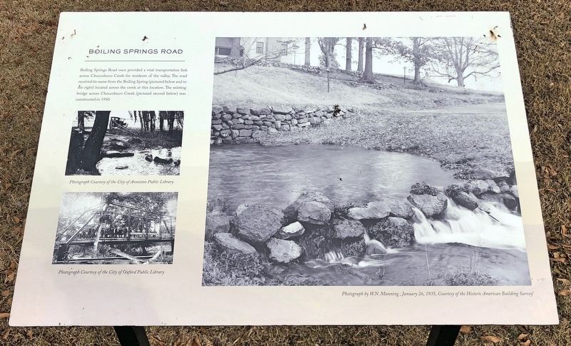
1. Boiling Springs Road Marker
Erected 2016 by the City of Oxford.
Topics. This historical marker is listed in these topic lists: Roads & Vehicles • Waterways & Vessels. A significant historical year for this entry is 1930.
Location. 33° 36.369′ N, 85° 47.427′ W. Marker is in Oxford, Alabama, in Calhoun County. It can be reached from Leon Smith Parkway. Located within Choccolocco Park. Touch for map. Marker is at or near this postal address: 954 Leon Smith Parkway, Oxford AL 36203, United States of America. Touch for directions.

Regionally, this marker is in East Alabama. It is also in the American South and specifically in the Deep South. Globally, it is in North America, a Gulf of Mexico state, the Western Hemisphere, the Western World, and the Anglosphere. Historically, it finds itself in what
this page online
Other nearby markers. At least 8 other markers are within walking distance of this marker: Caver-Christian-Davis Farm (about 600 feet away, measured in a direct line); Reconstructing the Cultural Landscape (approx. 0.2 miles away); The Choccolocco Creek Archaeological Complex (approx. 0.2 miles away); Mississippi Earthen Mounds (approx. 0.2 miles away); Mississippi Agriculture (approx. ¼ mile away); Woodland (approx. ¼ mile away); Muscogee (Creek) Nation (approx. ¼ mile away); Archaic (approx. 0.3 miles away). Touch for a list and map of all markers in Oxford.
Photographed by Mark Hilton, January 26, 2020
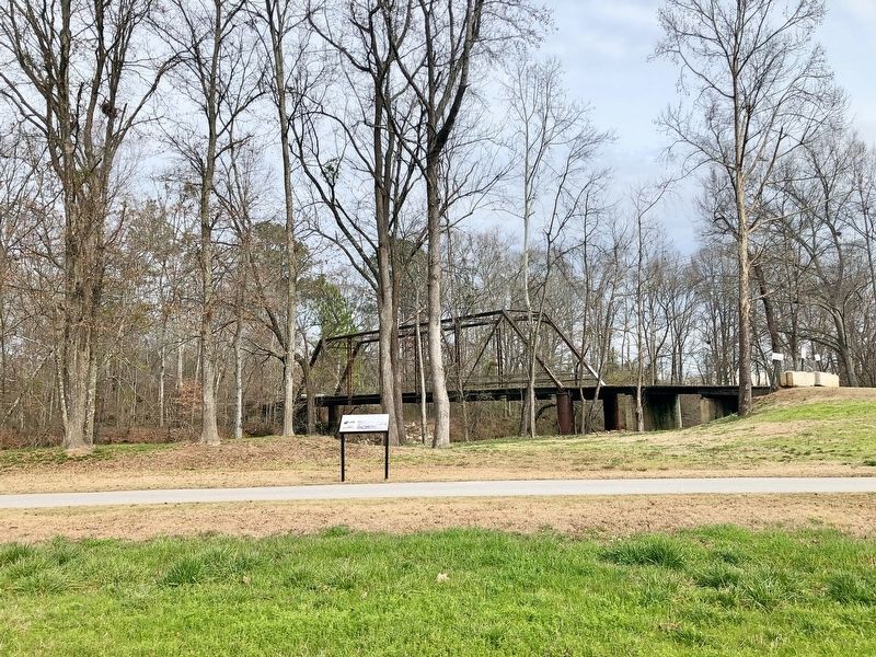
2. Boiling Springs Road Marker and bridge.
Credits. This page was last revised on January 31, 2020. It was originally submitted on January 31, 2020, by Mark Hilton of Montgomery, Alabama. This page has been viewed 1,158 times since then and 96 times this year. Photos: 1, 2. submitted on January 31, 2020, by Mark Hilton of Montgomery, Alabama.
