Franklin in Williamson County, Tennessee — The American South (East South Central)
Eastern Flank Battlefield Park
Meadow Restoration
— Balancing Community and Nature —
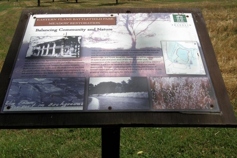
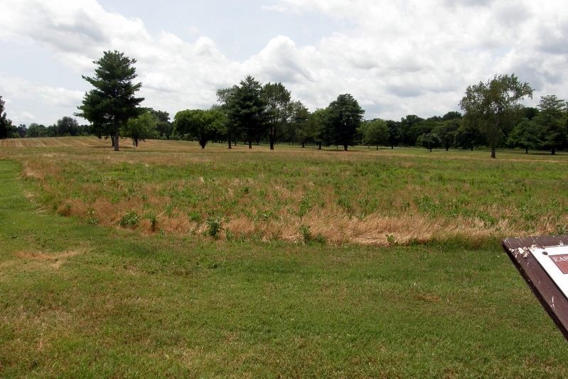
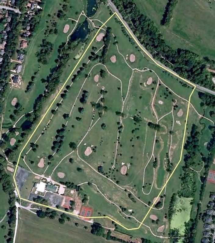
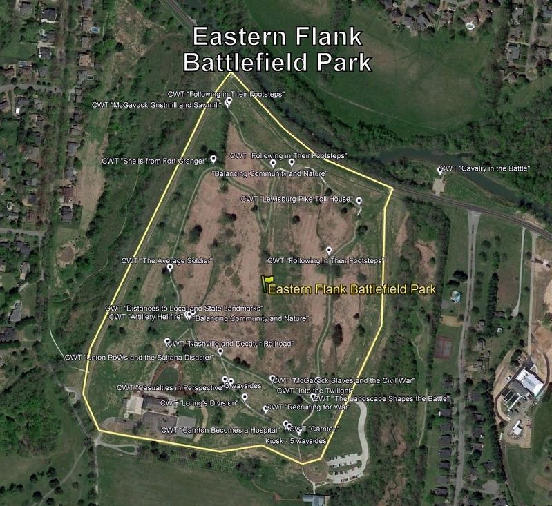
Today, you are standing in Eastern Flank Battlefield Park. The fields are now returning to their historical roots. The field crops of the past will now be symbolized with native grasses such as Little Bluestem, Broomsledge, and Purple lovegrass (sic). The meadow will be approximately 25 acres in size and cover most of the interior of the park. The development of the meadow will take time, several growing season’s (sic). However, it will not be allowed to take on an overgrown weedy appearance. Through scheduled periodic mowing and removal of invasive weed species. (sic) The meadow will bring back a character to this property that has been gone for many years.
(caption)
…1936 aerial photo of the historic Carnton property: note location of former barn. Source: Courtesy of Rick Warrick, Heritage Foundation of Franklin and Williamson County.
Topics. This historical marker is listed in these topic lists: Agriculture • Horticulture & Forestry • Parks & Recreational Areas • War, US Civil.
Location. 35° 54.554′ N, 86° 51.555′ W. Marker is in Franklin, Tennessee, in Williamson County. Marker is on Lewisburg Pike (Business U.S. 431) east of Eastern Flank Circle, on the left when traveling west. Touch for map. Marker is at or near this postal address: 1368 Eastern Flank Circle, Franklin TN 37064, United States of America. Touch for directions.
Other nearby markers. At least 8 other markers are within walking distance of this marker. Advancing With Scott's Brigade (within shouting distance of this marker); Battle of Franklin, Eastern Flank (about 400 feet away, measured in a direct line); a different marker also named Battle of Franklin, Eastern Flank (about 500 feet away); a different marker also named Advancing With Scott's Brigade (about 500 feet away); a different marker also named Advancing With Scott's Brigade (about 500 feet away); a different marker also named Battle of Franklin, Eastern Flank (about 500 feet away); a different marker also named Battle of Franklin, Eastern Flank (approx. 0.2 miles away); a different marker also named The Battle of Franklin (approx. 0.2 miles away). Touch for a list and map of all markers in Franklin.
Also see . . . Eastern Flank Battlefield Park. City of Franklin homepage. (Submitted on March 17, 2020, by Larry Gertner of New York, New York.)
Credits. This page was last revised on March 17, 2020. It was originally submitted on March 17, 2020, by Larry Gertner of New York, New York. This page has been viewed 325 times since then and 25 times this year. Photos: 1, 2, 3, 4, 5. submitted on March 17, 2020, by Larry Gertner of New York, New York. • Bernard Fisher was the editor who published this page.


