Franklin in Williamson County, Tennessee — The American South (East South Central)
Welcome to Winstead Hill Park
Park History
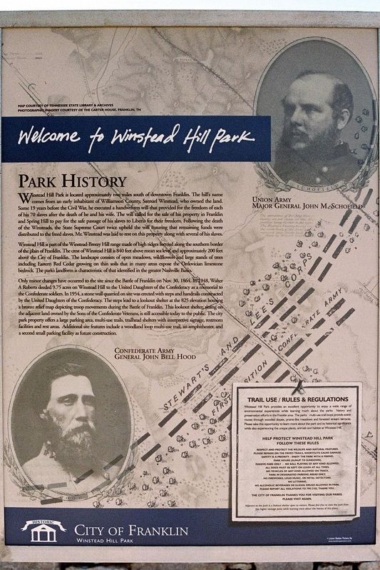
Winstead Hill Park is located approximately two miles south of downtown Franklin. The hillís name comes from an early inhabitant of Williamson County, Samuel Winstead, who owned the land. Some 19 years before the Civil War, he executed a handwritten will that provided for the freedom of each of his 70 slaves after the death of he and his wife. The will called for the sale of his property in Franklin and Spring Hill to pay for the safe passage of his slaves to Liberia for their freedom. Following the death of the Winsteads, the State Supreme Court twice upheld the will insuring that remaining funds were distributed to the freed slaves. Mr. Winstead was laid to rest on the property along with several of his slaves.
Winstead Hill is part of the Winstead-Breezy Hill range of high ridges formed along the southern border of the plain of Franklin. The crest of Winstead Hill is 840 feet above mean sea level and approximately 200 feet above the city of Franklin. The landscape consists of open meadows, wildflowers and large stands of trees, including Eastern Red Cedar growing on thin soils that in many area expose the Ordovician limestone bedrock. The parkís landform is characteristic of that identified in the greater Nashville Basin.
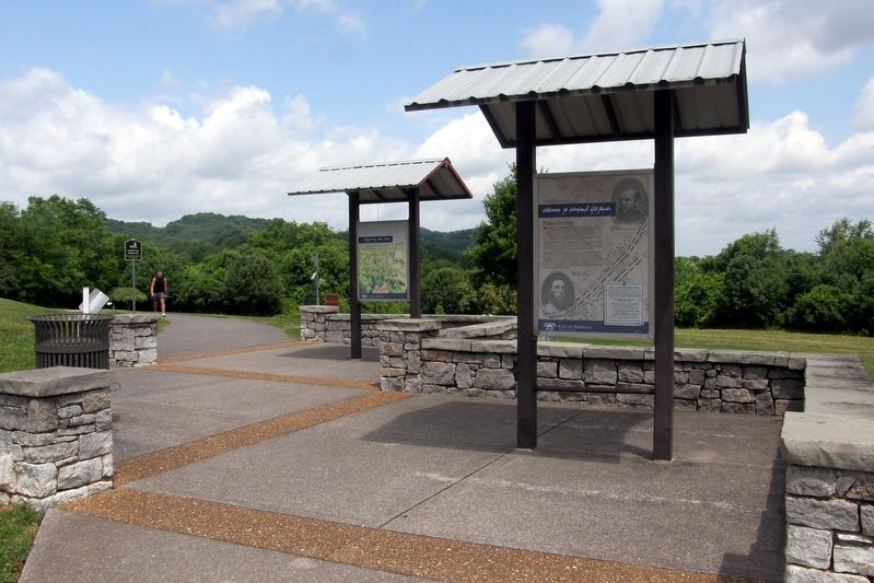
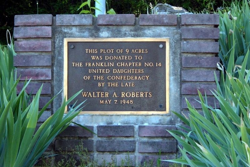
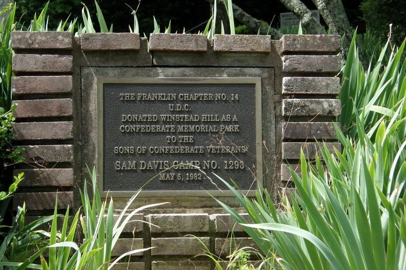
Only minor changes have occurred to the site since the Battle of Franklin on Nov. 30, 1864. In 1948, Walter A. Roberts deeded 9.75 acres on Winstead Hill to the United Daughters of the Confederacy as a memorial to the Confederate soldiers. In 1954, a stone wall quarried on site was erected with steps and handrails constructed by the United Daughters of the Confederacy. The steps lead to a lookout shelter at the 825 (foot) elevation housing a bronze relief map depicting troop movements during the Battle of Franklin. This lookout shelter, sitting on the adjacent land owned by the Sons of the Confederate Veterans, is still accessible today to the public. The city park property offers a large parking area, multi-use trails, trailhead shelters with interpretative signage, restroom facilities and rest areas. Additional site features include a woodland loop multi-use trail, an amphitheater and a second small parking facility as future construction.
Erected by City of Franklin.
Topics. This historical marker is listed in these topic lists: Cemeteries & Burial Sites • Parks & Recreational Areas • War, US Civil. A significant historical date for this entry is November 30, 1864.
Location. 35° 53.374′ N, 86° 52.693′ W. Marker is in Franklin, Tennessee, in Williamson County. Marker is on Columbia Avenue (U.S. 31) 0.2 miles south of Mack C Hatcher Memorial Parkway (Tennessee Route 397), on the
right when traveling south. Touch for map. Marker is at or near this postal address: 4023 Columbia Ave, Franklin TN 37064, United States of America. Touch for directions.
Other nearby markers. At least 8 other markers are within walking distance of this marker. Protecting Our Historic Resources (here, next to this marker); Winstead Hill (within shouting distance of this marker); States Rights Gist (about 300 feet away, measured in a direct line); Otho F. Strahl (about 300 feet away); Brigadier General Hiram B. Granbury (about 300 feet away); John C. Carter (about 300 feet away); John Adams (about 300 feet away); To The Soldiers Of Florida (about 300 feet away). Touch for a list and map of all markers in Franklin.
Also see . . . Winstead Hill Park. City of Franklin (Submitted on March 22, 2020.)
Credits. This page was last revised on March 22, 2020. It was originally submitted on March 20, 2020, by Larry Gertner of New York, New York. This page has been viewed 519 times since then and 47 times this year. Photos: 1, 2, 3, 4, 5. submitted on March 20, 2020, by Larry Gertner of New York, New York. • Bernard Fisher was the editor who published this page.


