Brockville in Leeds and Grenville United Counties, Ontario — Central Canada (North America)
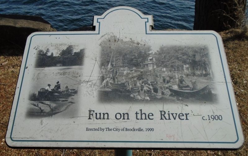
Fun on the River
c.1900
Erected 1999 by the City of Brockville.
Topics. This historical marker is listed in these topic lists: Parks & Recreational Areas • Waterways & Vessels. A significant historical year for this entry is 1900.
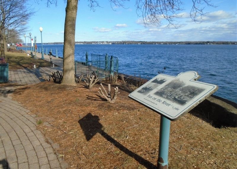
Location. 44° 35.106′ N, 75° 41.105′ W. Marker is in Brockville, Ontario, in Leeds and Grenville United Counties. Marker is on the paved riverfront walking path (part of The Brock Trail) near the SW edge of Hardy Park, about 50m east of the Henry Street parking lot. Touch for map. Marker is in this post office area: Brockville ON K6V 6M4, Canada. Touch for directions.
Other nearby markers. At least 8 other markers are within walking distance of this marker. McCrady Tannery / Brockville Yacht Club (within shouting distance of this marker); Smart's Foundry (about 120 meters away, measured in a direct line); a different marker also named Smart's Foundry (about 150 meters away); Timber Rafts on the River (about 150 meters away); William Buell’s 1816 Map of Brockville (about 150 meters away); Is[a]ac Beecher House (about 180 meters away); Centennial of Confederation (about 210 meters away); James Smart Manufacturing Co. Ltd. (about 210 meters away). Touch for a list and map of all markers in Brockville.
More about this marker. Marker has been defaced.
Credits. This page was last revised on March 18, 2022. It was originally submitted on March 20, 2020, by William Fischer, Jr. of Scranton, Pennsylvania. This page has been viewed 102 times since then and 4 times this year. Photos: 1, 2. submitted on March 20, 2020, by William Fischer, Jr. of Scranton, Pennsylvania.

