Rock Creek Park in Northwest Washington in Washington, District of Columbia — The American Northeast (Mid-Atlantic)
Herring Highway
Rock Creek Park
| — | National Park Service, U.S. Department of the Interior | — |
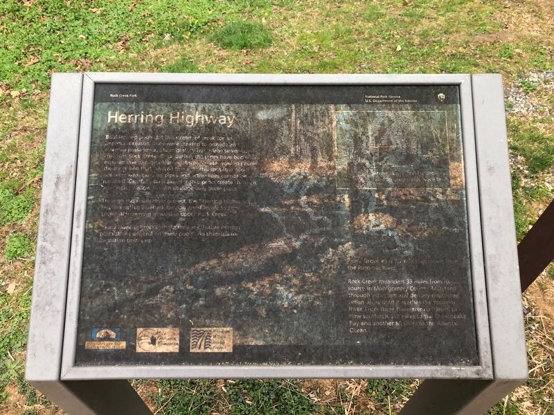
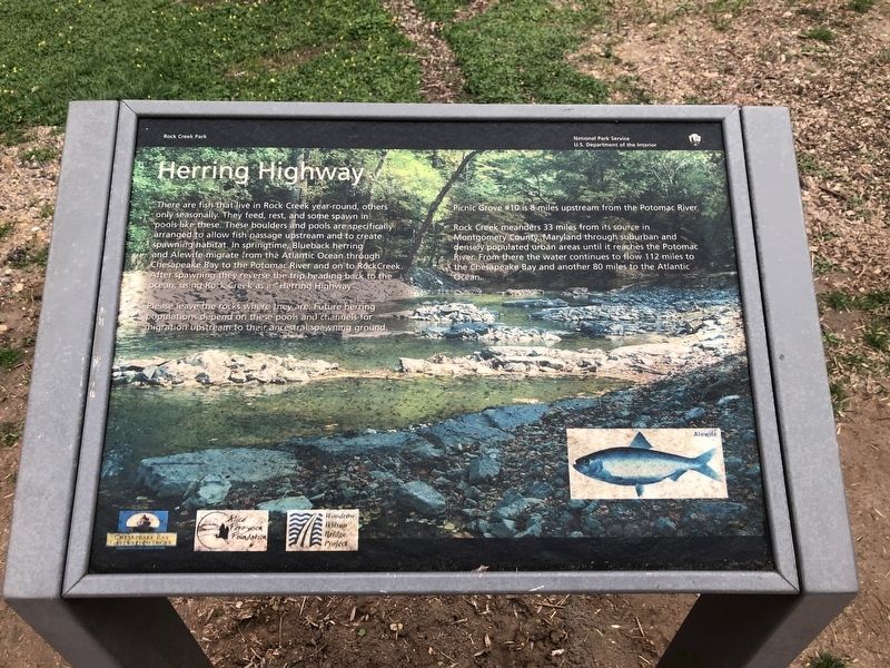
Boulder step pools dot this stretch of creek for an important reason. They were created to provide an essential passageway for migratory fish. Many sewer lines crisscross Rock Creek. Once buried, the pipes have been exposed due to high volumes of storm water washing away the creek bed that covered them. At this spot fish could not swim over exposed pipes and active lines cannot be removed. Carefully built boulder step pools create channels and pools to allow for fish passage over these pipes.
Through this restoration project, the "Herring Highway" restores native Blueback herring and Alewife to their ancestral spawning ground in upper Rock Creek.
Please leave the rocks where they are. Future herring populations depend on these pools and channels for migration upstream.
Picnic Grove #8 is 7.7 miles upstream from the Potomac River.
Rock Creek meanders 33 miles from its source in Montgomery County, Maryland through suburban and densely populated urban areas until it reaches the Potomac River. From there the water continues to flow southeast 112 miles to the Chesapeake Bay and another 80 miles to the Atlantic
this page online
Erected by National Park Service, U.S. Department of the Interior.
Topics. This historical marker is listed in these topic lists: Animals • Environment • Parks & Recreational Areas • Waterways & Vessels.
Location. 38° 58.293′ N, 77° 2.482′ W. Marker has been reported damaged. Marker is in Northwest Washington in Washington, District of Columbia. It is in Rock Creek Park. It is on Beach Drive Northwest 0.1 miles south of Sherrill Drive Northwest, on the left when traveling south. Touch for map. Marker is in this post office area: Washington DC 20012, United States of America. Touch for directions.

Regionally, this marker is in the Washington Metropolitan Area. It is also in the American Northeast, in the Upper South, in the Mid-Atlantic, in the Tidewater, and in the Chesapeake Bay Region. Globally, it is in North America, the Western Hemisphere, the Western World, and the Anglosphere.
Other nearby markers. At least 8 other markers are within walking distance of this location: The 16th Street World War I Tree Memorial (approx. 0.4 miles away);
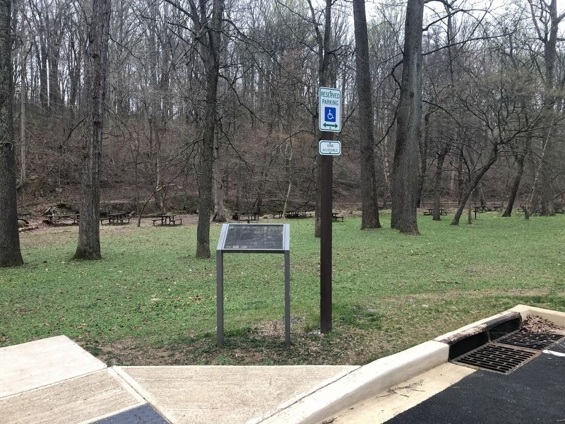
More about this marker. Unfortunately, the marker has suffered significant weather damage.
Photographed by Devry Becker Jones (CC0), March 31, 2020
3. Additional plaque in the northern section of the park
Credits. This page was last revised on January 30, 2023. It was originally submitted on March 31, 2020, by Devry Becker Jones of Washington, District of Columbia. This page has been viewed 244 times since then and 13 times this year. Photos: 1, 2, 3. submitted on March 31, 2020, by Devry Becker Jones of Washington, District of Columbia.
