
Fredericksburg, Virginia — The American South (Mid-Atlantic)
Rocky Lane
Fredericksburg: Timeless.
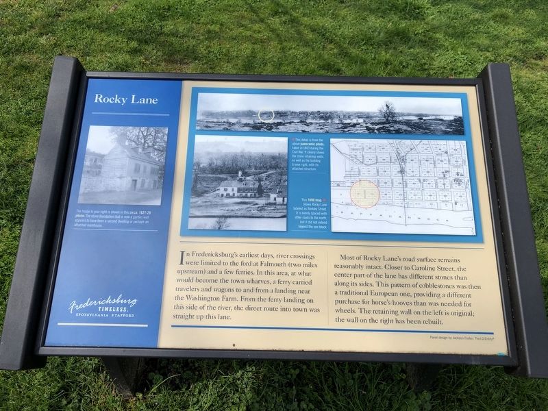
In Fredericksburg's earliest days, river crossings were limited to the ford at Falmouth (two miles upstream) and a few ferries. In this area, at what would become the town wharves, a ferry carried travelers and wagons to and from a landing near the Washington Far. From the ferry landing on this side of the river, the direct route into town was straight up this lane.
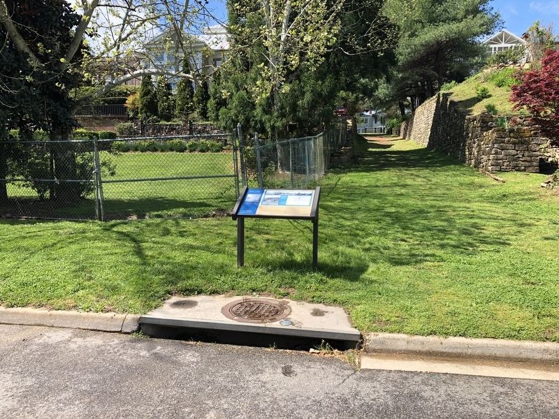
Most of Rocky Lane's road surface remains reasonably intact. Closer to Caroline Street, the center part of the lane has different stones than along its sides. This pattern of cobblestones was then a traditional European one, providing a different purchase for horse's hooves than was needed for wheels. The retaining wall on the left is original; the wall on the right has been rebuilt.
[Captions:]
The house to your right is shown in this circa 1927-29 photo. The stone foundation that is now a garden wall appears to have been a second dwelling or perhaps an attached warehouse.
This detail is from the above panoramic photo, taken in 1863 during the Civil War. IT clearly shows the stone retaining walls, as well as the building to your right, with its attached structure.
This 1890 map shows Rocky Lane labeled as Berkley Street. It is evenly spaced with other roads to the north but it did not extend beyond the one block.
Erected by Fredericksburg
this page online
Topics and series. This historical marker is listed in these topic lists: Animals • Man-Made Features • Roads & Vehicles • Waterways & Vessels. In addition, it is included in the Virginia, Fredericksburg: Timeless. series list. A significant historical year for this entry is 1863.
Location. 38° 17.78′ N, 77° 27.226′ W. Marker is in Fredericksburg, Virginia. It is at the intersection of Sophia Street and Rocky Lane, on the right when traveling south on Sophia Street. Touch for map. Marker is at or near this postal address: 208 Sophia St, Fredericksburg VA 22401, United States of America. Touch for directions.

Regionally, this marker is in the Washington Metropolitan Area and in Northern Virginia. It is also in the American South and specifically in the Upper South. Globally, it is in North America, the Western Hemisphere, the Western World, and the Anglosphere. Historically, it finds itself in what was once the territory of the Mississippian Culture, one of the original Thirteen Colonies, one of the Confederate States of America, and the Antebellum South.
Other nearby markers. At
Other markers no longer nearby. Fredericksburg City Dock (was a few steps from this marker but has been permanently removed); a different marker also named Fredericksburg City Dock (was a few steps from this marker but has been permanently removed); a different marker also named Fredericksburg City Dock (was within shouting distance of this marker but has been permanently removed).
Credits. This page was last revised on February 2, 2023. It was originally submitted on April 19, 2020, by Devry Becker Jones of Washington, District of Columbia. This page has been viewed 850 times since then and 33 times this year. Photos: 1, 2. submitted on April 19, 2020, by Devry Becker Jones of Washington, District of Columbia.
