Spokane in Spokane County, Washington — The American West (Northwest)
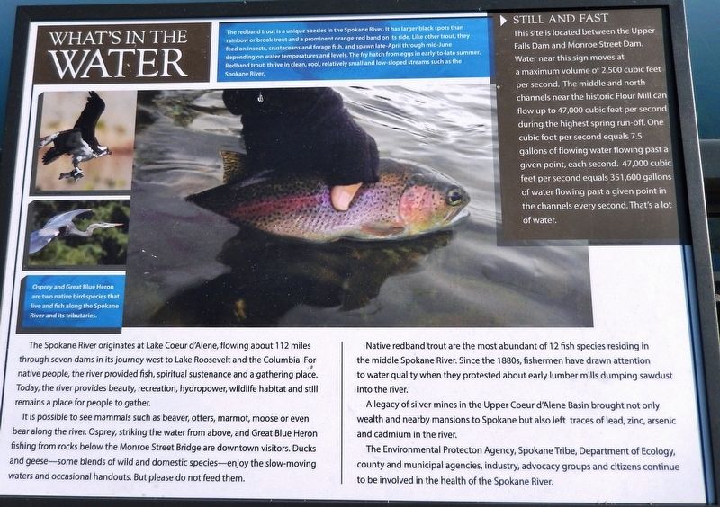
What's in the Water
It is possible to see mammals such as beaver, otters, marmot, moose or even bear along the river. Osprey, striking the water from above, and Great Blue Heron fishing from rocks below the Monroe Street Bridge are downtown visitors. Ducks and geese — some blends of wild and domestic species — enjoy the slow-moving waters and occasional handouts. But please do not feed them.
Native redband trout are the most abundant of 12 fish species residing in the middle Spokane River. Since the 1880s, fishermen have drawn attention to water quality when they protested about early lumber mills dumping sawdust into the river.
A legacy of silver mines in the Upper Coeur d'Alene Basin brought not only wealth and nearby mansions to Spokane but also left traces of lead, zinc, arsenic and cadmium in the river.
The Environmental Protection Agency, Spokane Tribe, Department of Ecology, county and municipal agencies, industry, advocacy groups and citizens continue to be involved in the health of the Spokane River.
Still and Fast
This site is located between the Upper Falls Dam and Monroe Street Dam. Water near this sign moves at a maximum volume of 2,500 cubic feet per second. The middle and north channels near the historic Flour Mill can flow up to 47,000 cubic feet per second during the highest spring run-off. One cubic foot per second equals 7.5 gallons of flowing water flowing past a given point, each second. 47,000 cubic feet per second equals 351,600 gallons of water flowing past a given point in the channels every second. That's a lot of water.
The redband trout is a unique species in the Spokane River. It has larger black spots than rainbow or brook trout and a prominent orange-red band on its side. Like other trout, they feed on insects, crustaceans and forage fish, and spawn late-April through mid-June depending on water temperatures and levels. The fry hatch from eggs in early-to-late summer. Redband trout thrive in clean, cool, relatively small and low-sloped streams such as the Spokane River.
Osprey and Great Blue Heron are two native bird species that live and fish along the Spokane River and its tributaries.
Topics. This historical marker is listed in these topic lists: Animals • Environment • Native Americans • Waterways & Vessels.
Location.
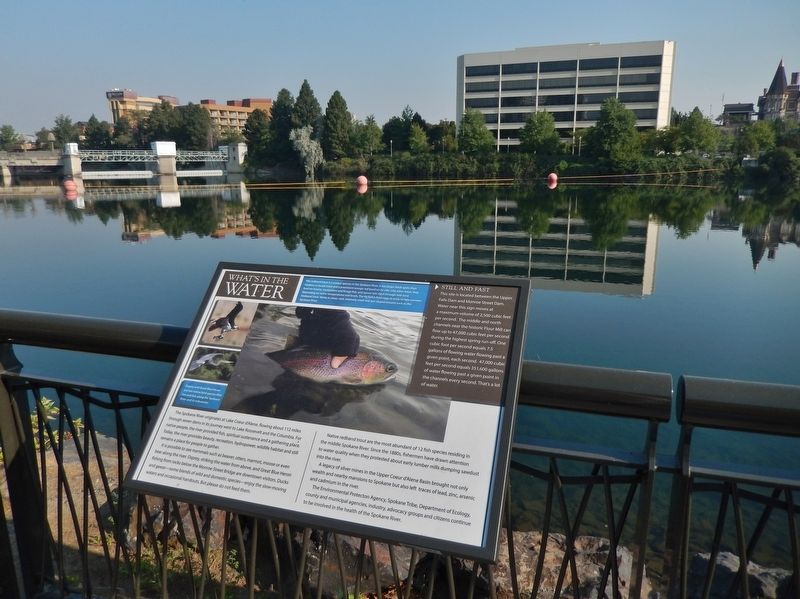
47° 39.712′ N, 117° 24.785′ W. Marker is in Spokane, Washington, in Spokane County. Marker can be reached from North Spokane Falls Court, 0.1 miles north of West Spokane Falls Boulevard. Marker is located along the Centennial Trail, overlooking the Spokane River, on the north side of the Spokane Convention Center. Touch for map. Marker is at or near this postal address: 334 West Spokane Falls Boulevard, Spokane WA 99201, United States of America. Touch for directions.
Other nearby markers. At least 8 other markers are within walking distance of this marker. How the River Became Home for Sqelix — Spokane Tribe (here, next to this marker); Bridges in Spokane (within shouting distance of this marker); An Evolving Shoreline (about 300 feet away, measured in a direct line); Industry on the Spokane River (about 400 feet away); A Legacy of Railroads (about 400 feet away); Expo '74 (about 700 feet away); Washington State Pavilion (about 800 feet away); Spokane's Evolving Riverfront (approx. 0.2 miles away). Touch for a list and map of all markers in Spokane.
Credits. This page was last revised on April 23, 2020. It was originally submitted on April 21, 2020, by Cosmos Mariner of Cape Canaveral, Florida. This page has been viewed 132 times since then and 4 times this year. Photos: 1, 2. submitted on April 23, 2020, by Cosmos Mariner of Cape Canaveral, Florida.

