Kearneysville in Jefferson County, West Virginia — The American South (Appalachia)
Kearneysville Area Historic Properties
West Virginia 9
| — | Charles Town to Martinsburg | — |

Photographed by Devry Becker Jones (CC0), April 25, 2020
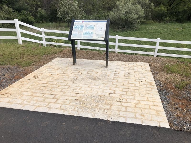
1. Kearneysville Area Historic Properties Marker
Shepherdstown and Smithfield Turnpike Tollhouse/John Fox House
Immediately west of Rellim Farm is a mid-19th century log dwelling, and the only known surviving toll house on the old Shepherdstown and Smithfield Turnpike (previously Leetown Pike). The turnpike was completed by 1826, being the first toll road of its kind in the "valley" region of Virginia. This tollhouse was constructed around 1864. An artist's earlier rendering of a nearby tollhouse on Charles Town Pike shows athat a standard plan for toll houses may have been used by area turnpike companies of the period. The tollhouse is also important as the last remaining structure associated with John Fox, a prosperous African-American who purchased the property in 1869. He became a respected member of both the African-American and Euro-American communities and amassed a large estate during the post-Civil War years. Fox never resided. In the log house, but maintained it as a rental property throughout his life.
Kearneysville Action Area
On August 25, 1864, a major military skirmish occurred about half a mile southwest of Kearneysville between General Jubal Early's
this page online
Rellim Farm/Abraham S. Miller House
Rellim Farm was established by Abraham S. Miller, who married Thomas Turner's daughter, Mary Susan, and in 1880 purchased a part of Turner's Rockdale Farm. That year, the Millers began operating a cattle
Photographed by Devry Becker Jones (CC0), April 25, 2020
2. Kearneysville Area Historic Properties Marker
Sunnyside Farm
Sunnyside Farm is listed in the National Register of Historic Places for its association with the agricultural development of Jefferson County and for contributions to the regional dairy industry by its owner William Fulk (shown in the right in a circa 1914 photograph). Fulk purchased the far land in 1891 and in 1914 built the extant 2½-story, brick dwelling, which is also significant for its Colonial Revival architecture. William Fulk was instrumental in the local dairy industry, helping to establish the Kearneysville Creamery in 1913. The Creamery produced its own ice, and the milk was condensed at the plant and sold to ice cream factories in Cumberland and Hagerstown, Maryland. After a boiler system was added for pasteurization, fresh milk, cream, and butter also were produced there, as were several kinds of cheese.
Erected by West Virginia Department of Transportation, Division of Highways.
Topics and series. This historical marker is listed in these topic lists: Agriculture • Architecture • Horticulture & Forestry • Industry & Commerce • Roads & Vehicles • War, US Civil. In addition, it is included in the Baltimore and Ohio Railroad (B&O), and the West Virginia 9 series lists. A significant historical date for this entry is August 25, 1864.
Location. 39° 23.091′ N, 77° 53.649′ W. Marker is in Kearneysville, West Virginia, in Jefferson County. It is on Route 9 Bike Path 0.2 miles north of Leetown Road (County Road 1), on the right when traveling north. Touch for map. Marker is at or near this postal address: 14609 Leetown Rd, Kearneysville WV 25430, United States of America. Touch for directions.

Regionally, this marker is in the Washington Metropolitan Area and in the Eastern Panhandle. It is also in the American South, specifically in the Upper South, in Appalachia, and specifically in Northern Appalachia. Globally, it is in North America, the Western Hemisphere, the Western World, and the Anglosphere. Historically, it finds itself in what was once the territory of the Mississippian Culture and also the Antebellum South.
Other nearby markers. At least 8 other markers are within 3 miles of this marker, measured as the crow flies: A different marker also named Kearneysville Area Historic Properties (approx. 0.4 miles away); "Travelers' Rest" (approx. half a mile away); John C. Heinz House (approx. 0.7 miles away); Shaw Run Wetland Complex (approx. 1½ miles away); Stone House Mansion (approx. 1.7 miles away); Valley View / Tackley Farm (approx. 1.8 miles away); The Greenback Raid (approx. 2.2 miles away); Hockensmith Apple Storage Building (approx. 2.2 miles away). Touch for a list and map of all markers in Kearneysville.
More about this marker.
Images:
1. 1997 photograph by Michael Baker Jr., Inc., Pittsburgh, Pennsylvania.
2. Undated sketch from The James E. Taylor Sketchbooks: with Sheridan Up the Shenandoah Valley in 1864. Reproduced in The Western Research Historical Society Publication 173 (1989).
3. Map Plate 82 of the Atlas to Accompany the Official Records of the Union and Confederate Armies, compiled by Capt. Calvin D. Coweles (1891-1895). Republished as The Official Military Atlas of the Civil War (1983).
4,5. 1997 (#4) and 1995 (#5) photographs by Michael Baker Jr., Inc., Pittsburgh, Pennsylvania.
6. Ca. 1914 photograph, courtesy of Patricia Ann Folk, Haines, Alaska.
Credits. This page was last revised on May 24, 2020. It was originally submitted on April 26, 2020, by Devry Becker Jones of Washington, District of Columbia. This page has been viewed 1,768 times since then and 159 times this year. Photos: 1, 2. submitted on April 26, 2020, by Devry Becker Jones of Washington, District of Columbia.
