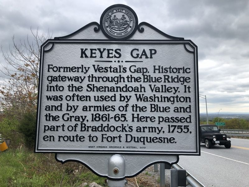
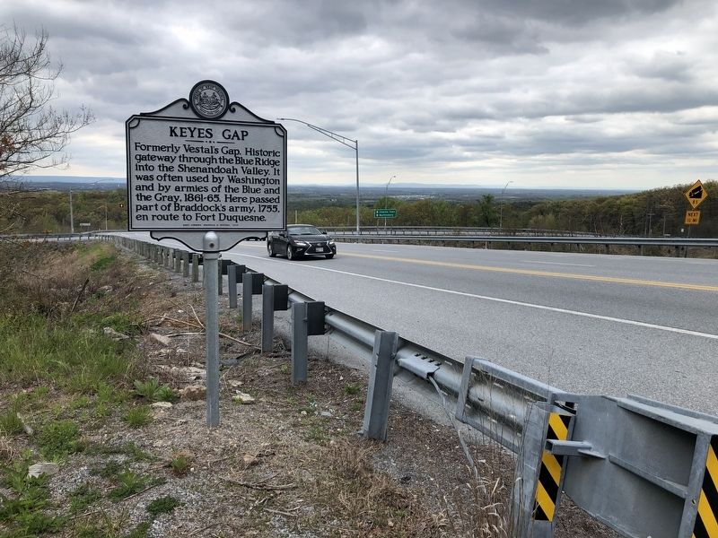
Near Harpers Ferry in Jefferson County, West Virginia — The American South (Appalachia)
Keyes Gap
Erected 2019 by West Virginia Archives & History.
Topics and series. This historical marker is listed in these topic lists: Colonial Era • Natural Features • War, French and Indian • War, US Civil. In addition, it is included in the West Virginia Archives and History series list. A significant historical year for this entry is 1755.
Location. 39° 15.719′ N, 77° 45.816′ W. Marker is near Harpers Ferry, West Virginia, in Jefferson County. Marker is on Charles Town Road (Route 9) 0.1 miles east of Charles Town Road (West Virginia Route 115), on the right when traveling east. Touch for map. Marker is at or near this postal address: 20867 Charles Town Rd, Harpers Ferry WV 25425, United States of America. Touch for directions.
Other nearby markers. At least 8 other markers are within 4 miles of this marker, measured as the crow flies. Jefferson County / State of Virginia (about 300 feet away, measured in a direct line); Keyes' Switch Engagement (approx. 2˝ miles away); John W. Mobberly (approx. 2.7 miles away in Virginia); Iron Furnaces (approx. 3 miles away); Mountains, Men, and Maneuvers (approx. 3.2 miles away); The Murphy Farm (approx. 3.2 miles away); Sheridan Dug In (approx. 3.2 miles away); A Moving Symbol (approx. 3.2 miles away).
Related marker. Click here for another marker that is related to this marker. This marker has replaced the linked marker.
Credits. This page was last revised on August 2, 2021. It was originally submitted on April 26, 2020, by Devry Becker Jones of Washington, District of Columbia. This page has been viewed 263 times since then and 32 times this year. Photos: 1, 2. submitted on April 26, 2020, by Devry Becker Jones of Washington, District of Columbia.

