Charlottetown in Queens County, Prince Edward Island — The Atlantic Provinces (North America)
Beginnings of a Settlement
Les débuts de la colonization
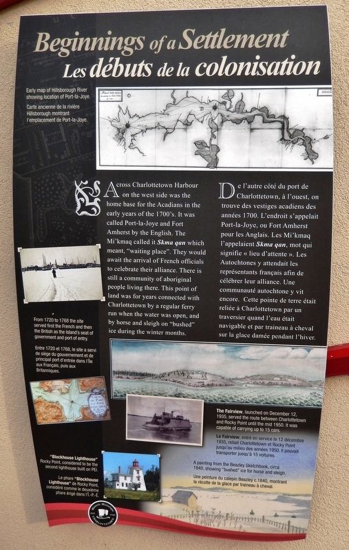
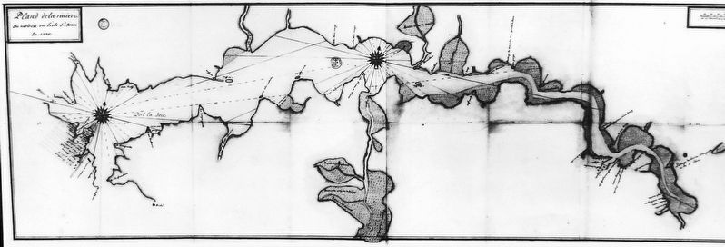
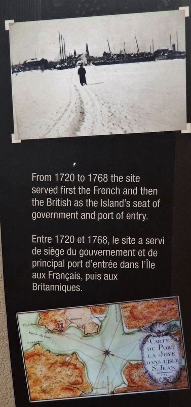
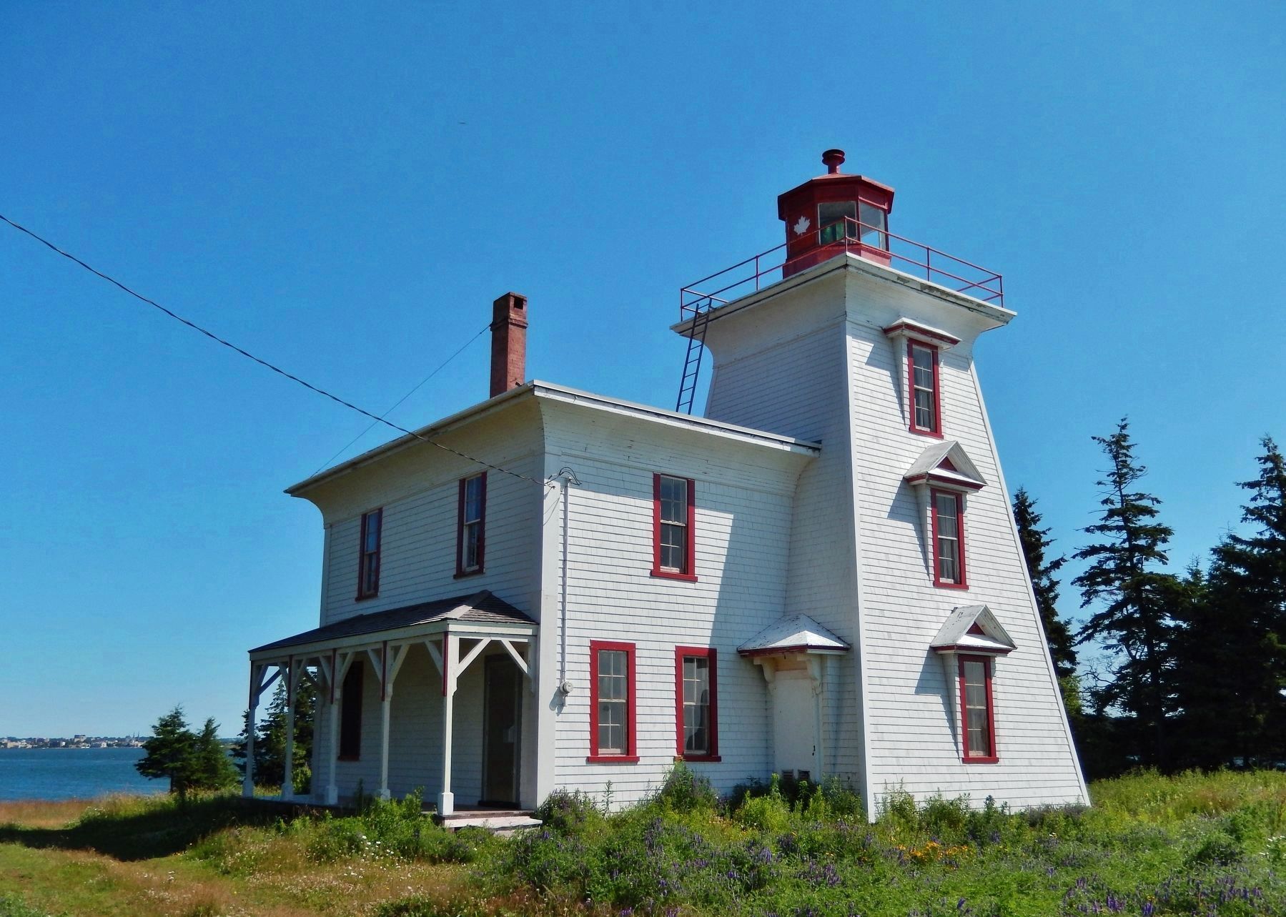
Across Charlottetown Harbour on the west side was the home base for the Acadians in the early years of the 1700's. It was called Port-la-Joye and Fort Amherst by the English. The Mi'kmaq called it Skma qan which meant, "waiting place". They would await the arrival of French officials to celebrate their alliance. There is still a community of aboriginal people living there. This point of land was for years connected with Charlottetown by a regular ferry run when the water was open, and by horse and sleigh on "bushed" ice during the winter months.
(bottom photo caption)
A painting from the Beazley Sketchbook, circa 1840, showing "bushed" ice for horse and sleigh.
De l'autre côté du port de Charlottetown, à l'ouest, on trouve des vestiges acadiens des années 1700. L'endroit s'appelait Port-la-Joye, ou Fort Amherst pour les Anglais. Les Mi'kmaq l'appelaient Skma qan, mot qui signifie « lieu d'attente ». Les Autochtones y attendait les représentants français afin de célébrer leur alliance. Une communauté autochtone y vit encore. Cette pointe de terre était reliée à Charlottetown par un traversier quand l'eau était navigable et par traineau à cheval sur la glace damée pendant l'hiver.
(légende de la photo inférieure)
Une peinture du calepin Beazley c.1840, montrant la récolte de la glace par traineau à cheval.
Erected by Historic Charlottetown.
Topics. This historical marker is listed in these topic lists: Colonial Era • Native Americans • Settlements & Settlers • Waterways & Vessels.
Location. 46° 14.475′ N, 63° 6.881′ W. Marker is in Charlottetown, Prince Edward Island, in Queens County. Marker is at the intersection of Grafton Street and Water Street (Prince Edward Island Route 1), on the right when traveling east on Grafton Street. Marker is located in the "Welcome to Charlottetown" plaza at the southwest corner of the intersection. Touch for map. Marker is in this post office area: Charlottetown PE C1A 1M1, Canada. Touch for directions.
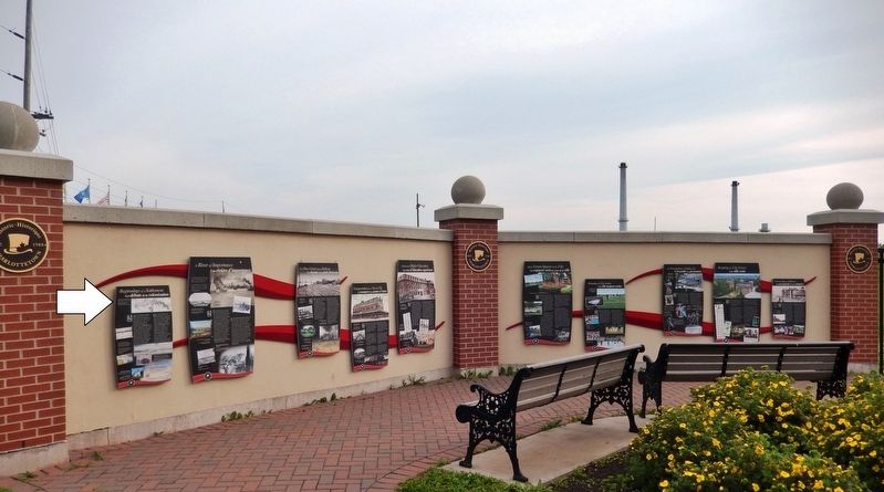
Other nearby markers. At least 8 other markers are within walking distance of this marker. A River of Importance (here, next to this marker); The Once Great Island Railroad (here, next to this marker); Transportation from Tip-to-Tip (here, next to this marker); Choices For Higher Education (here, next to this marker); Open Green Spaces in the City (here, next to this marker);
Keeping the City Green (here, next to this marker); Preserving Our History (here, next to this marker); Site of a Historic Photo (within shouting distance of this marker). Touch for a list and map of all markers in Charlottetown.
Related markers. Click here for a list of markers that are related to this marker. Historic Charlottetown, Prince Edward Island
Also see . . .
1. Charlottetown. The Canadian Encyclopedia entry (Submitted on February 6, 2021, by Larry Gertner of New York, New York.)
2. Indigenous Settlement. Early Indigenous peoples are known to have been on Prince Edward Island as early as 10,600 years ago. Around 2,000 years ago the Mi'kmaq established a presence there. Nomads, they would have frequented the Charlottetown area as the three rivers offered easy access to various parts of the Island. (Submitted on May 13, 2020, by Cosmos Mariner of Cape Canaveral, Florida.)
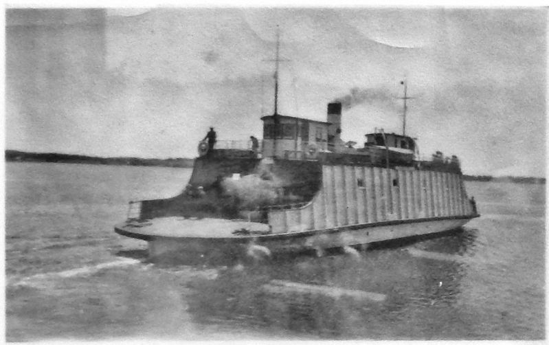
4. Marker detail: The Fairview
The Fairview, launched on December 12, 1935, served the route between Charlottetown and Rocky Point until the mid 1950s. It was capable of carrying up to 15 cars.
Le Fairview, entré en service le 12 décembre 1935, reliait Charlottetown et Rocky Point jusqu'au milieu des années 1950. Il pouvait transporter jusqu'à 15 voitures.
Le Fairview, entré en service le 12 décembre 1935, reliait Charlottetown et Rocky Point jusqu'au milieu des années 1950. Il pouvait transporter jusqu'à 15 voitures.
Credits. This page was last revised on February 6, 2021. It was originally submitted on May 9, 2020, by Cosmos Mariner of Cape Canaveral, Florida. This page has been viewed 120 times since then and 9 times this year. Photos: 1, 2, 3, 4, 5, 6. submitted on May 13, 2020, by Cosmos Mariner of Cape Canaveral, Florida.
