Franklin in Williamson County, Tennessee — The American South (East South Central)
Glass Mounds Archaeological Site
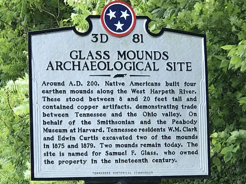
Photographed by Duane and Tracy Marsteller, June 14, 2020
1. Glass Mounds Archaeological Site Marker
Erected by Tennessee Historical Commission. (Marker Number 3D 81.)
Topics and series. This historical marker is listed in these topic lists: Anthropology & Archaeology • Indigenous Peoples and Communities. In addition, it is included in the Tennessee Historical Commission series list. A significant historical year for this entry is 200 CE.
Location. 35° 56.12′ N, 86° 56.085′ W. Marker is in Franklin, Tennessee, in Williamson County. It is on New Highway 96 West (State Highway 96) 0.2 miles west of Stonewater Road, on the left when traveling west. Touch for map. Marker is at or near this postal address: 2121 New Highway
this page online

Regionally, this marker is in Middle Tennessee and in Greater Nashville. It is also in the American South and specifically in the Upper South. Globally, it is in North America, the Western Hemisphere, the Western World, and the Anglosphere. Historically, it finds itself in what was once the territory of the Mississippian Culture, one of the Confederate States of America, and the Antebellum South.
Other nearby markers. At least 8 other markers are within 3 miles of this marker, measured as the crow flies: Boyd Mill Pike / Franklin-South Harpeth Turnpike (approx. 0.6 miles away); Westhaven Community / William White Cemetery (approx. 0.6 miles away); Hamilton Place (approx. 0.9 miles away); Matthew Fontaine Maury (approx. 1.7 miles away); William Irby Boyd Homestead ca. 1807 (approx. 1.9 miles away); Boyd's Mill (approx. 2 miles away); Bingham (approx. 2.2 miles away); Abram Maury (approx. 2.2 miles away). Touch for a list and map of all markers in Franklin.
Also see . . . Native History Association. Site dedicated to Native American
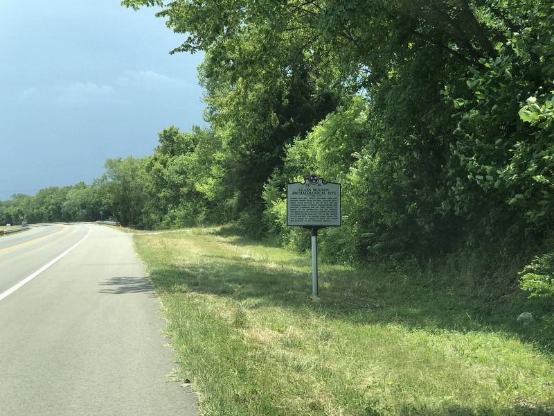
Photographed by Duane and Tracy Marsteller, June 14, 2020
2. Glass Mounds Archaeological Site Marker
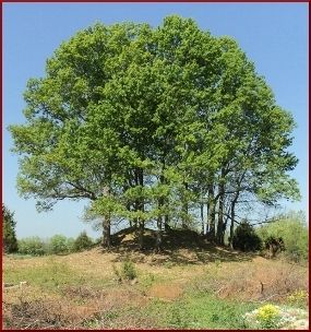
Courtesy Native History Association, April 1, 2012
3. Glass Mounds Archaeological Site
Woodland Period burial mound at the site.
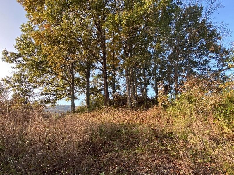
Photographed by Darren Jefferson Clay, November 3, 2020
4. Glass Mounds Archaeological Site
Credits. This page was last revised on November 4, 2020. It was originally submitted on June 15, 2020, by Duane and Tracy Marsteller of Murfreesboro, Tennessee. This page has been viewed 2,005 times since then and 170 times this year. Photos: 1, 2, 3. submitted on June 15, 2020, by Duane and Tracy Marsteller of Murfreesboro, Tennessee. 4. submitted on November 3, 2020, by Darren Jefferson Clay of Duluth, Georgia. • Devry Becker Jones was the editor who published this page.
