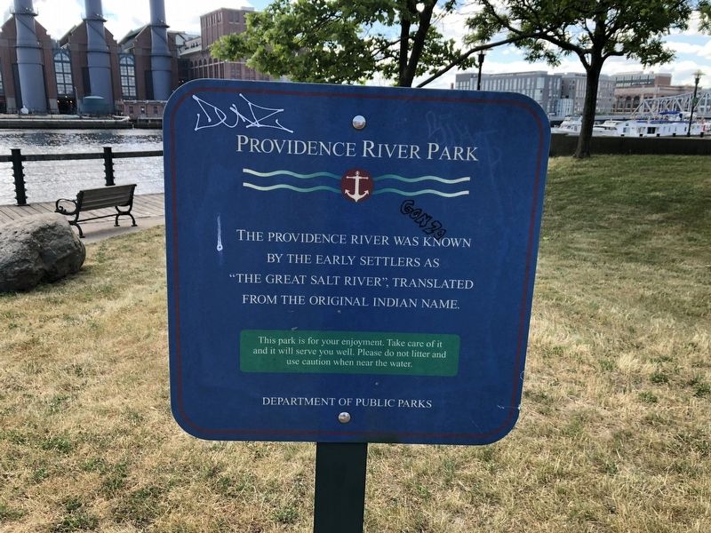
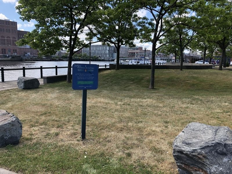
Fox Point in Providence in Providence County, Rhode Island — The American Northeast (New England)
Providence River Park
⚓
Erected by Department of Public Parks.
Topics. This historical marker is listed in these topic lists: Colonial Era • Native Americans • Settlements & Settlers • Waterways & Vessels.
Location. 41° 48.99′ N, 71° 24.06′ W. Marker is in Providence, Rhode Island, in Providence County. It is in Fox Point. Marker is at the intersection of Bridge Street and Tockwotton Street, on the left when traveling north on Bridge Street. Touch for map. Marker is at or near this postal address: 212 Bridge St, Providence RI 02903, United States of America. Touch for directions.
Other nearby markers. At least 8 other markers are within walking distance of this marker. The Fox Point Hurricane Barrier / A Second Life for the Hurricane Barrier (within shouting distance of this marker); Colonial Wharf at South Water Street: 1910-1942 / Fox Point and the Night Boat Era 1822-1932 (within shouting distance of this marker); Providence River Bridge (within shouting distance of this marker); Fox Point Veterans Memorial (approx. 0.2 miles away); Fox Point Cape Verdean Community (approx. ¼ mile away); Fox Point: The 19th Century Port of Providence / Shipping Expands Around the Point (approx. 0.3 miles away); Early History and Archaeology of Central Wharf (approx. 0.4 miles away); Central Wharf Shipping, Whaling, and Other Industries (approx. 0.4 miles away). Touch for a list and map of all markers in Providence.
Credits. This page was last revised on May 10, 2023. It was originally submitted on June 22, 2020, by Devry Becker Jones of Washington, District of Columbia. This page has been viewed 257 times since then and 30 times this year. Photos: 1, 2. submitted on June 22, 2020, by Devry Becker Jones of Washington, District of Columbia.

