Near Tamassee in Oconee County, South Carolina — The American South (South Atlantic)
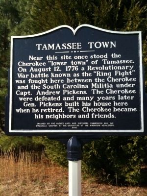
Tamassee Town
Erected 2006 by the Oconee Arts and Historical Commission and the Walhalla Chapter of the Daughters of the American Revolution.
Topics and series. This historical marker is listed in these topic lists: Colonial Era • Native Americans • Wars, US Indian. In addition, it is included in the Daughters of the American Revolution series list. A significant historical year for this entry is 1776.
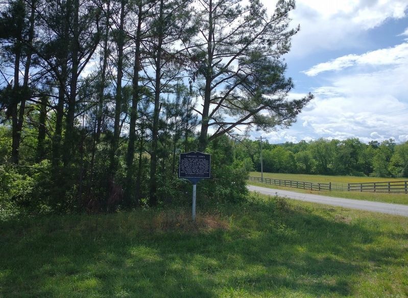
Location. 34° 52.98′ N, 83° 2.91′ W. Marker is near Tamassee, South Carolina, in Oconee County. Marker is at the intersection of Tamassee Knob Road (State Highway S-37-95) and Cheohee Valley Road (State Highway S37-375), on the right when traveling east on Tamassee Knob Road. Touch for map. Marker is in this post office area: Tamassee SC 29686, United States of America. Touch for directions.
Other nearby markers. At least 8 other markers are within 3 miles of this marker, measured as the crow flies. Indian Trail and Thong Tree (approx. 1.7 miles away); Tamassee DAR School (approx. 1.7 miles away); Josephine C. Peters — West Virginia Cottage (approx. 1.7 miles away); In Memory of George R. Ryder (approx. 1.7 miles away); May Erwin Talmadge Auditorium/Gymnasium (approx. 1.7 miles away); Texas Friendship Cottage (approx. 1.7 miles away); a different marker also named Tamassee DAR School (approx. 1.8 miles away); Cheowee Town (approx. 2.3 miles away). Touch for a list and map of all markers in Tamassee.
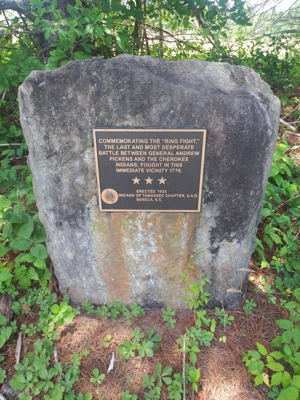
More about this marker. The "Ring Fight" marker was moved to the left side of Cheohee Valley Road if you are driving from Highway 11. It is just past the "Tamassee Town" marker...maybe a half a mile in a shaded area facing and visible from Cheohee Valley Road.
Regarding Tamassee Town. After the Cherokees attacked several settlements along the frontier and killed many settlers in July 1776, the S.C. militia, under the command Major Andrew Williamson, was sent to destroy the Lower Cherokee towns in northwestern South Carolina.
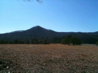
While leading a small force of about 25 men to burn the Lower Town of Tamassee, Captain Andrew Pickens' detachment was surrounded in an open field by a large Cherokee force, estimated at over 150 warriors. The militiamen formed a small circle and fired out in relays at the surrounding Indians in what came to be called the "Ring Fight." Pickens won the fight after being reinforced.
This marker was erected by local organizations using text other than originally coordinated through the South Carolina Historical Marker program. The original text planned for this marker, with more detail and with text on two sides, read:
Marker Front:
Marker Reverse:
Also see . . .
Photographed By Cindy Bullard, February 15, 2010
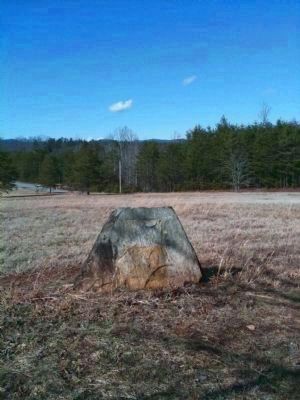
3. Red House Marker
Pickens called his final home Red House. This stone marker is located on a hill 1/2 mile west of the Tamassee Town marker. The marker, now missing, was erected by the Daughters of the American Revolution (DAR) and read, in part:
This boulder marks the place where Gen. Andrew Pickens died August 11, 1817
This boulder marks the place where Gen. Andrew Pickens died August 11, 1817
Credits. This page was last revised on May 20, 2022. It was originally submitted on February 9, 2010, by David Bullard of Seneca, South Carolina. This page has been viewed 3,927 times since then and 127 times this year. Last updated on July 1, 2020, by Jonathan Christopher Monroe of Tamassee, South Carolina. Photos: 1. submitted on February 13, 2010, by David Bullard of Seneca, South Carolina. 2. submitted on May 20, 2022, by Tom Bosse of Jefferson City, Tennessee. 3, 4. submitted on February 17, 2010, by David Bullard of Seneca, South Carolina. 5. submitted on July 1, 2020, by Jonathan Christopher Monroe of Tamassee, South Carolina. • Bernard Fisher was the editor who published this page.
