Near Monticello in Jefferson County, Florida — The American South (South Atlantic)
The Lay of the Land
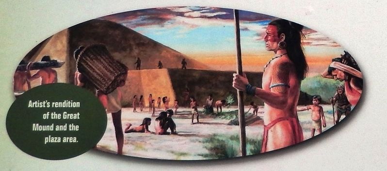
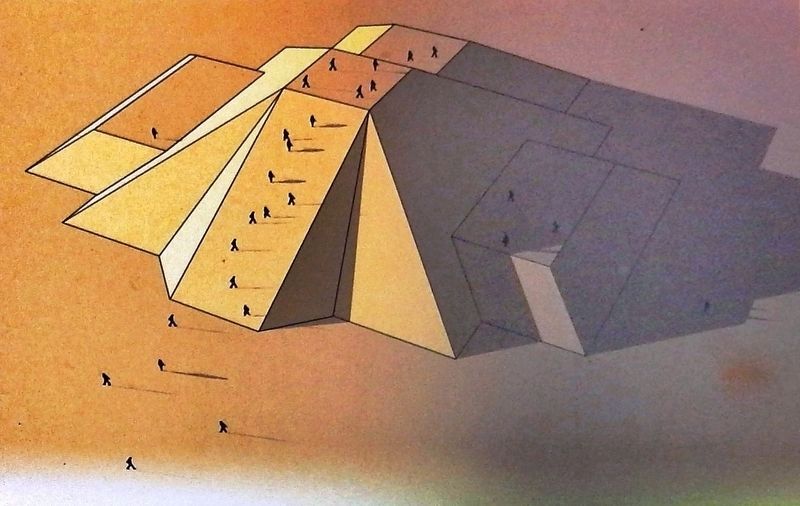
While form usually follows function in architecture, the function of the Letchworth-Love Mounds has yet to be discovered. The Weeden Island peoples most likely constructed the form of the architectural landscape you see today to serve as a ceremonial or special place.
Location, Location, Location
Today, people often choose where they live based on what resources are close by. Nearby schools, stores and parks all affect our decisions for where we live. Similarly, the Weeden Island peoples may have carefully chosen this site to build their mounds based on the resources available here. The close proximity to Lake Miccosukee and many creeks, an abundance of plants and animals and the presence of fertile soil probably influenced the American Indians to build their mounds here.
Erected by Letchworth-Love Mounds Archaeological State Park.
Topics. This historical marker is listed in these topic lists: Anthropology & Archaeology • Architecture • Native Americans.
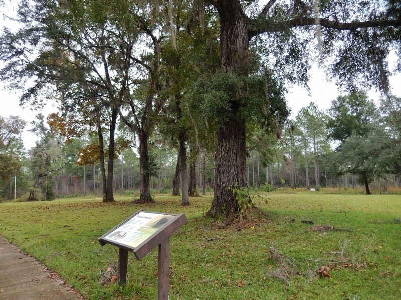
Location. 30° 31.209′ N, 83° 59.475′ W. Marker is near Monticello, Florida, in Jefferson County. Marker can be reached from Sunray Road, 0.6 miles south of Mahan Drive (U.S. 90), on the right when traveling south. Marker is located along the interpretive trail at Letchworth-Love Mounds Archaeological State Park. Touch for map. Marker is at or near this postal address: 4500 Sunray Road South, Monticello FL 32344, United States of America. Touch for directions.
Other nearby markers. At least 8 other markers are within 7 miles of this marker, measured as the crow flies. Letchworth-Love Mounds Archaeological State Park (within shouting distance of this marker); Lasting Impressions (within shouting distance of this marker); The Hunt for the Great Mound (about 300 feet away, measured in a direct line); Digging Deeper (about 500 feet away); Miccosukee United Methodist Church (approx. 5.9 miles away); Village of Miccosukee (approx. 5.9 miles away); Constant Attack (approx. 6.8 miles away); Confederate Memorial (approx. 6.9 miles away). Touch for a list and map of all markers in Monticello.
Related markers. Click here for a list of markers that are related to this marker. Letchworth-Love Mounds Archaeological State Park
Also see . . .
1. Native American Ceremonial Mound. Letchworth was built over the course of hundreds of years, establishing a deep rooted culture in the Tallahassee and Monticello areas. The largest mound is estimated to have been made using 27 million gallons of soil, mixed with shells, and encased in clay and was completely built by hand one basketful at a time. It is approximated that it took at least six-million trips from a nearby pit. Researchers believe the mound served as a capital monument for the social, political and religious spheres of Weeden life. (Submitted on July 22, 2020, by Cosmos Mariner of Cape Canaveral, Florida.)
2. Letchworth Mounds. Five mounds have been identified at the site, one of which was destroyed in the 1970s. The largest of these mounds is nearly 300 feet wide and 46 feet high, making it the tallest mound recorded in Florida. Some archaeologists argue that it dates to the Ft. Walton Period (AD 1000- 1500), while others argue that the site dates to the older Weeden Island Period (ca AD 300-1000). (Submitted on July 22, 2020, by Cosmos Mariner of Cape Canaveral, Florida.)
Credits. This page was last revised on July 22, 2020. It was originally submitted on July 21, 2020, by Cosmos Mariner of Cape Canaveral, Florida. This page has been viewed 173 times since then and 13 times this year. Photos: 1. submitted on July 21, 2020, by Cosmos Mariner of Cape Canaveral, Florida. 2, 3, 4. submitted on July 22, 2020, by Cosmos Mariner of Cape Canaveral, Florida.


