Mesa Verde National Park in Montezuma County, Colorado — The American Mountains (Southwest)
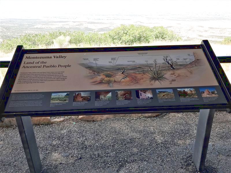
Montezuma Valley
Land of the Ancient Pueblo People
*CE means Common Era (1280 CE = AD 1280)
Ancestral Pueblo people lived in the entire Four Corners Region. Examples of other Ancestral Pueblo community sites nearby include Yucca House National Monument outside of Cortez and Hovenweep National Monument in Utah.
Canyons of the Ancients National Monument covers much of the landscape before you. It contains the highest known archaeological site density in the United States, preserving extensive evidence of a rich, multi-dimensional native culture.
Captions [Left to right]
• Yucca House, Yucca House National Monument NPS Photo
• Holly Group, Hovenweep National Monument NPS Photo/Jacob W. Frank
• Site in Goodman Canyon, Canyons of the Ancients National Monument Photo/Deb Jensen
• Site in Rock Canyon, Canyons of the Ancients National Monument Photo/Deb Jensen
• Site east of Sand Canyon, Canyons of the Ancients National Monument Photo/Robert Jensen
• Lowry Pueblo, Canyons of the Ancients National Monument NPS Photo
• Saddlehorn Pueblo, Canyons of the Ancients National Monument NPS Photo/Beth Dodd
• Lower Sand Canyon Pueblo, Canyons of the Ancients National Monument NPS Photo
Erected by National Park Service.
Topics. This historical marker is listed in these topic lists: Anthropology & Archaeology • Native Americans • Parks & Recreational Areas • Settlements & Settlers. A significant historical year for this entry is 600 CE.
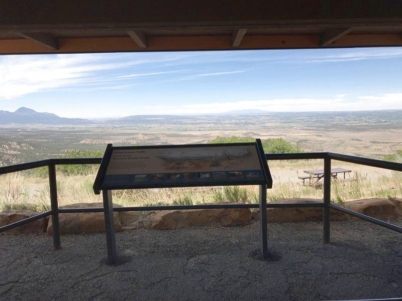
Location. 37° 17.797′ N, 108° 26.495′ W. Marker is in Mesa Verde National Park, Colorado, in Montezuma County. Marker can be reached from Mesa Top Ruins Road (State Highway 10). Marker is at the Montezuma Valley Overlook, on a short trail leading from the pullout. Touch for map. Marker is in this post office area: Mancos CO 81328, United States of America. Touch for directions.
Other nearby markers. At least 8 other markers are within 4 miles of this marker, measured as the crow flies. Knife Edge... (within shouting distance of this marker); Mancos Valley (approx. 1.8 miles away); Natural Seep Springs (approx. 2.7 miles away); A Monument to Time (approx. 2.7 miles away); Four Corners (approx. 3.9
miles away); Cortez (approx. 3.9 miles away); Southwest Survival (approx. 3.9 miles away); Mesa Verde Country (approx. 3.9 miles away). Touch for a list and map of all markers in Mesa Verde National Park.
Credits. This page was last revised on July 23, 2020. It was originally submitted on July 22, 2020, by Duane and Tracy Marsteller of Murfreesboro, Tennessee. This page has been viewed 458 times since then and 76 times this year. Photos: 1, 2, 3. submitted on July 22, 2020, by Duane and Tracy Marsteller of Murfreesboro, Tennessee. • Andrew Ruppenstein was the editor who published this page.


