Near Accokeek in Charles County, Maryland — The American Northeast (Mid-Atlantic)
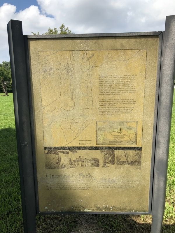
Piscataway Park
[unreadable] Emphasis is on promoting and keeping the area as it looked in George Washington's day. [unreadable]
[Aside:]
Piscataway Park lies on the Maryland side of the Potomac River about 20 miles south of Washington, DC, [unreadable] off MD 210 (Indian Head Highway) [unreadable] has three major park areas—Marshall Hall; National Colonial Farm, which is operated for the National Park Service by the Accokeek Foundation; and Wharf Road. A fourth area, Hard Bargain Farm, which is owned and operated by the Alice Ferguson Foundation to promote environmental study. A tour of the Farm may be arranged ahead of time.
The National Park Service invites you to visit the other nearby historic, natural, and recreational sites in this area on both sides of the Potomac River. See map at left for locations.
Across the Potomac River is a 17-mile bicycle trail from the Mount Vernon Estate to the Memorial Bridge in Washington, DC. [unreadable]
Erected by National Park Service, U.S. Department of the Interior.
Topics and series. This historical marker is listed in these topic lists: Agriculture • Colonial Era • Parks & Recreational Areas • Settlements & Settlers. In addition, it is included in the Former U.S. Presidents: #01 George Washington series list.
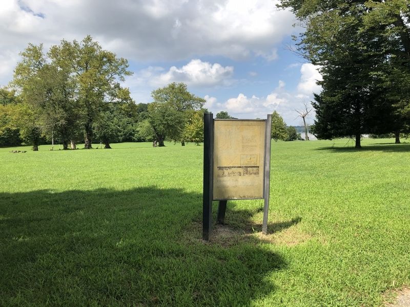
Location. 38° 41.041′ N, 77° 5.882′ W. Marker has been reported unreadable. Marker is near Accokeek, Maryland, in Charles County. Marker is on Marshall Hall Road (Maryland Route 227) 0.1 miles north of River Road, on the right when traveling north. Touch for map. Marker is in this post office area: Bryans Road MD 20616, United States of America. Touch for directions.
Other nearby markers. At least 8 other markers are within 2 miles of this location, measured as the crow flies. Marshall Hall (approx. 0.2 miles away); First People of the Potomac (approx. 0.6 miles away); George Washington's Fisheries (approx. 1˝ miles away in Virginia); Batteau Construction Project (approx. 1˝ miles away in Virginia); Batteau Design (approx. 1˝ miles away in Virginia); Punt (approx. 1˝ miles away in Virginia); The Mount Vernon Wharf (approx. 1˝ miles away in Virginia); Sundries Field (approx. 1˝ miles away in Virginia).
Credits. This page was last revised on November 7, 2021. It was originally submitted on August 14, 2020, by Devry Becker Jones of Washington, District of Columbia. This page has been viewed 220 times since then and 21 times this year. Photos: 1, 2. submitted on August 14, 2020, by Devry Becker Jones of Washington, District of Columbia.

