St. Augustine in St. Johns County, Florida — The American South (South Atlantic)
Treaty Park
Photographed by Tim Fillmon, August 10, 2021
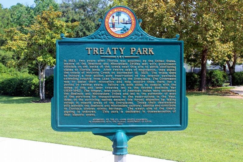
1. Treaty Park Marker
After repair.
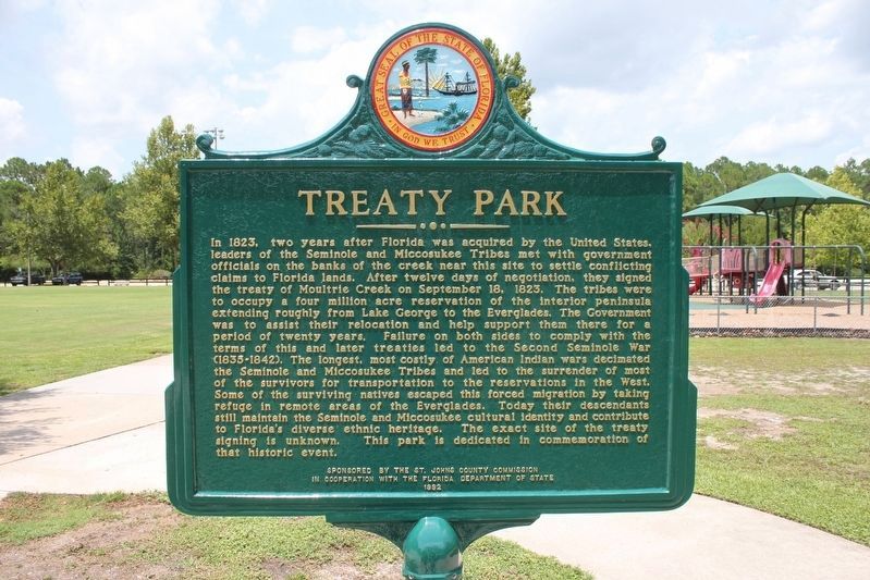
In 1823, two years after Florida was acquired by the United States, leaders of the Seminole and Miccosukee Tribes met with government officials on the banks of the creek near this site to settle conflicting claims to Florida lands. After twelve days of negotiation, they signed the treaty of Moultrie Creek on September 18,1823. The tribes were to occupy a four million acre reservation of the interior peninsula extending roughly from Lake George to the Everglades. The Government was to assist their relocation and help support them there for a period of twenty years. Failure on both sides to comply with the terms of this and later treaties led to the Second Seminole War (1835-1842). The longest, most costly of American Indian wars decimated the Seminole and Miccosukee Tribes and led to the surrender of most of the survivors for transportation to the reservations in the West. Some of the surviving natives escaped this forced migration by taking refuge in remote areas of the Everglades. Today their descendants still maintain the Seminole and Miccosukee cultural identity and contribute to Florida’s diverse ethnic heritage.
this page online
Erected 1992 by St. Johns County Commission in cooperation with the Florida Department of State. (Marker Number F-337.)
Topics. This historical marker is listed in these topic lists: Indigenous Peoples and Communities • Parks & Recreational Areas • Settlements & Settlers • Wars, US Indian. A significant historical date for this entry is September 18, 1823.
Location. 29° 49.954′ N, 81° 21.603′ W. Marker is in St. Augustine, Florida, in St. Johns County. It can be reached from Wildwood Drive north of Wild Oak Drive, on the left when traveling north. Touch for map. Marker is at or near this postal address: 1595 Wildwood Drive, Saint Augustine FL 32086, United States of America. Touch for directions.

Regionally, this marker is in First Coast and in Greater Jacksonville. It is also in the American South and on the Eastern Seaboard. Globally, it is in the North Atlantic Region, North America, a Gulf of Mexico state, the Western Hemisphere, the Western World, and the Anglosphere. Historically, it finds itself in
Photographed by Tim Fillmon, July 24, 2015
2. Treaty Park Marker
Other nearby markers. At least 8 other markers are within 2 miles of this marker, measured as the crow flies: Treaty of Moultrie Creek (here, next to this marker); Capture of Osceola (a few steps from this marker); Seminole War (Fort Peyton) (a few steps from this marker); a different marker also named Treaty of Moultrie Creek (a few steps from this marker); a different marker also named Treaty of Moultrie Creek (within shouting distance of this marker); Site of Fort Peyton (approx. 0.8 miles away); a different marker also named Site of Fort Peyton (approx. 0.8 miles away); Chief Osceola Capture Site (approx. 1.6 miles away). Touch for a list and map of all markers in St. Augustine.
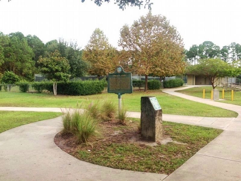
Photo courtesy of Robbie Boggs
3. Treaty Park Marker circa 2014
Photographed by Brandon D Cross, August 19, 2020
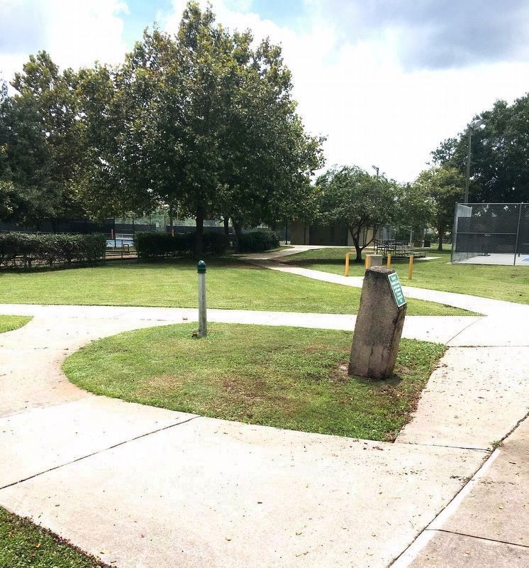
4. Missing Treaty Park Marker
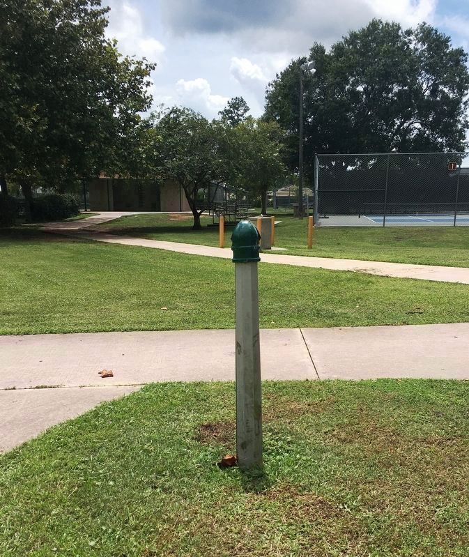
Photographed by Brandon D Cross, August 19, 2020
5. Missing Treaty Park Marker
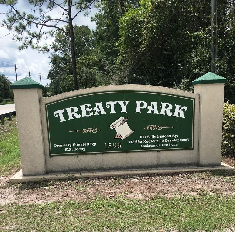
Photographed by Brandon D Cross, August 19, 2020
6. Treaty Park sign
Credits. This page was last revised on October 6, 2021. It was originally submitted on August 20, 2020, by Brandon D Cross of Flagler Beach, Florida. This page has been viewed 1,068 times since then and 126 times this year. Photos: 1. submitted on October 6, 2021, by Tim Fillmon of Webster, Florida. 2. submitted on August 21, 2020, by Tim Fillmon of Webster, Florida. 3, 4, 5, 6. submitted on August 20, 2020, by Brandon D Cross of Flagler Beach, Florida. • Bernard Fisher was the editor who published this page.
