Near Holly Grove in Monroe County, Arkansas — The American South (West South Central)
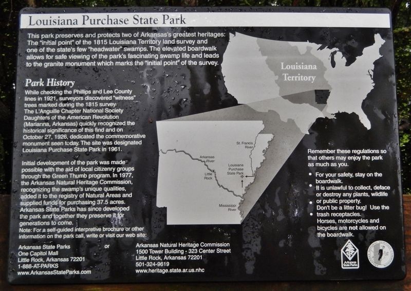
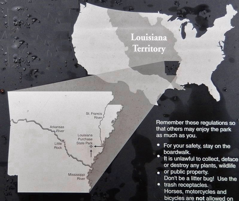
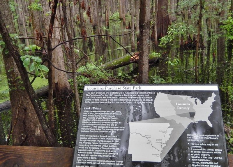
Louisiana Purchase State Park
— Louisiana Purchase Historic State Park —
Park History
While checking the Phillips and Lee County lines in 1921, surveyors discovered "witness" trees marked during the 1815 survey. The L'Anguille Chapter National Society Daughters of the American Revolution (Marianna, Arkansas) quickly recognized the historical significance of this find and on October 27, 1926, dedicated the commemorative monument seen today. The site was designated Louisiana Purchase State Park in 1961.
Initial development of the park was made possible with the aid of local citizenry groups through the Green Thumb program. In 1977, the Arkansas Natural Heritage Commission, recognizing the swamp's unique qualities, added it to the registry of Natural Areas and supplied funds for purchasing 37.5 acres. Arkansas State Parks has since developed the park and together they preserve it for generations to come. Note: For a self-guided interpretive brochure or other information on the park call, write or visit our web site:
Arkansas State Parks
One Capitol Mall
Little Rock, Arkansas 72201
1-888-AT-PARKS
www.ArkansasStateParks.com
or Arkansas Natural Heritage Commission
1500 Tower Building - 323 Center Street
Little Rock, Arkansas 72201
501-324-9619
www.heritage.state.ar.us.nhc
Erected by Arkansas State Parks and Arkansas Natural Heritage Commission.
Topics and series. This historical marker is listed in these topic lists: Environment • Parks & Recreational Areas • Waterways & Vessels. In addition, it is included in the National Historic Landmarks series list. A significant historical year for this entry is 1921.
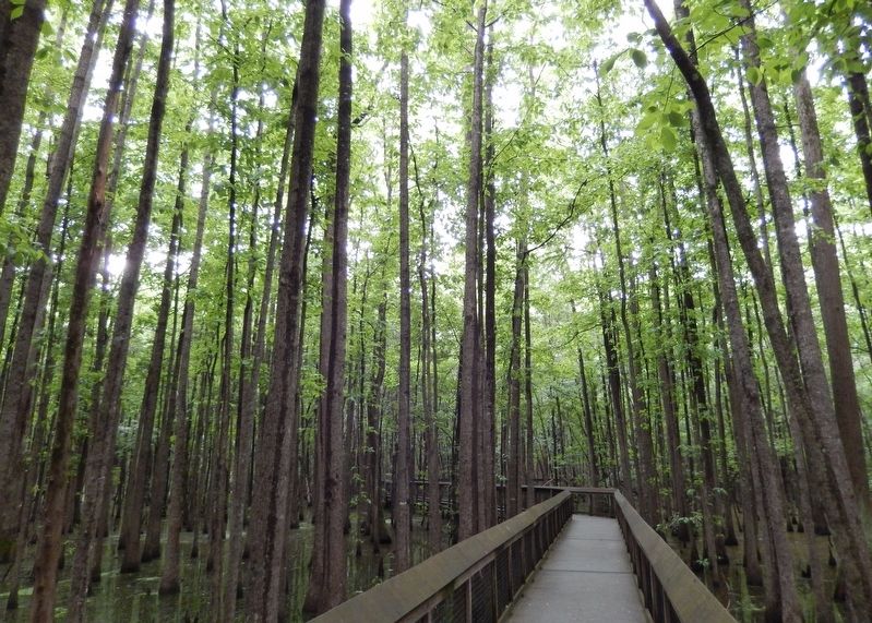
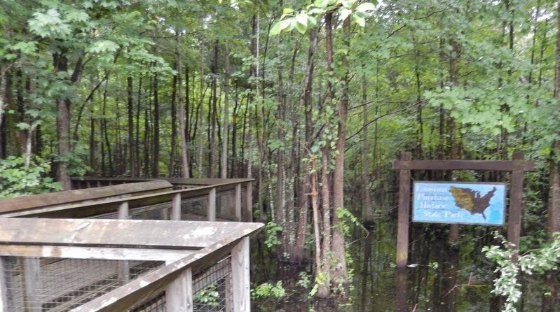
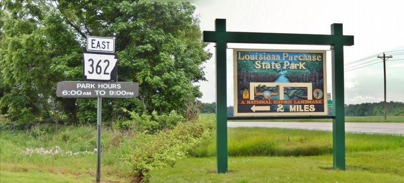
Location. 34° 38.723′ N, 91° 3.213′ W. Marker is near Holly Grove, Arkansas, in Monroe County. Marker can be reached from State Highway 362, 1.8 miles east of U.S. 49. Marker is located along the swamp boardwalk in Louisiana Purchase Historic State Park. Touch for map. Marker is in this post office area: Holly Grove AR 72069, United States of America. Touch for directions.
Other nearby markers. At least 8 other markers are within walking distance of this marker. The Swamp (within shouting distance of this marker); Louisiana Territory: 1682-1800 (within shouting distance of this marker); The Purchase: 1801-1803 (about 300 feet away, measured in a direct line); Life in the Swamp (about 400 feet away); Two Lines Mark the Future of the United States (about 400 feet away); The Survey: 1815 (about 400 feet away); The Opening of the American West (about 500 feet away); Initial Point of the Louisiana Purchase Survey (about 500 feet away). Touch for a list and map of all markers in Holly Grove.
Regarding Louisiana Purchase State Park. National Register of Historic Places #72000206, and National Historic Landmark (1993).
Related markers. Click here for a list of markers that are related to this marker. Louisiana Purchase Historic State Park
Also see . . .
1. Louisiana Purchase Historic State Park (Wikipedia). The Louisiana Purchase Historic State Park commemorates the initial point from which the lands acquired through the Louisiana Purchase (1803) were subsequently surveyed. It is a 37.5-acre parcel of swamp, or forested wetlands, which is remarkably unchanged from the time when surveyors came here in 1815. (Submitted on August 24, 2020, by Cosmos Mariner of Cape Canaveral, Florida.)
2. The Delta as the 1815 Surveyors Experienced: Louisiana Purchase State Park. Louisiana Purchase Historic State Park is a sliver of land that time forgot in a sea of 200 years of change
across the Delta. A short hike here not only takes you to the monument, but also gives a glimpse into what the Mississippi River Delta was like in 1815. (Submitted on August 24, 2020, by Cosmos Mariner of Cape Canaveral, Florida.)
3. Louisiana Purchase Natural Area. The swamp surrounding the marker is about six miles long and less than a mile wide and comprises the headwaters of Little Cypress Creek, making it a "headwater swamp." Headwater swamps maintain more constant water levels than riparian swamps due to reduced watershed areas. This factor also makes them easier to drain and these swamps have all but vanished from the Mississippi Alluvial Plain. (Submitted on August 24, 2020, by Cosmos Mariner of Cape Canaveral, Florida.)
Credits. This page was last revised on August 26, 2020. It was originally submitted on August 23, 2020, by Cosmos Mariner of Cape Canaveral, Florida. This page has been viewed 467 times since then and 34 times this year. Photos: 1, 2, 3, 4, 5, 6. submitted on August 24, 2020, by Cosmos Mariner of Cape Canaveral, Florida.
