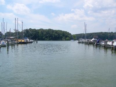
Fredericktown in Cecil County, Maryland — The American Northeast (Mid-Atlantic)
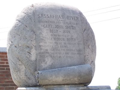
Sassafras River
Topics. This historical marker is listed in these topic lists: Colonial Era • Exploration • Native Americans • Waterways & Vessels. A significant historical year for this entry is 1607.
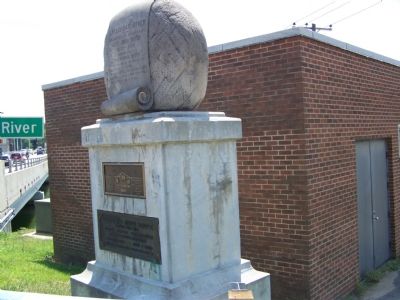
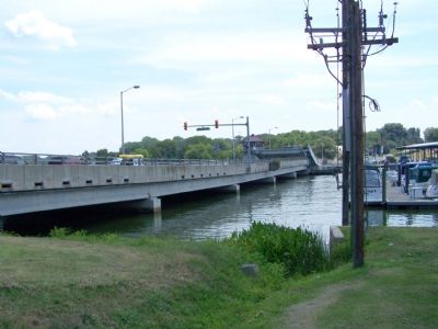
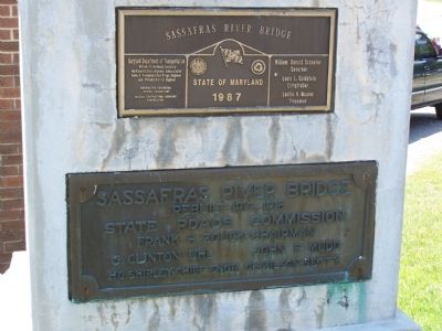
Location. 39° 21.916′ N, 75° 52.989′ W. Marker is in Fredericktown, Maryland, in Cecil County. Marker is on Augustine Herman Highway (Maryland Route 213), on the right when traveling south. At entrance to Sassafras River Bridge, which connects Cecil and Kent counties. Touch for map. Marker is in this post office area: Georgetown MD 21930, United States of America. Touch for directions.
Other nearby markers. At least 8 other markers are within 3 miles of this marker, measured as the crow flies. Fort Duffy (approx. 0.2 miles away); A Heavy Price (approx. 0.2 miles away); Daring to Resist (approx. ¼ mile away); Georgetown, Maryland (approx. 0.3 miles away); Mistress Kitty Knight (approx. 0.3 miles away); Downs’ Cross Roads (approx. 1.7 miles away); Greenfield (approx. 1.8 miles away); Founded on Friendship (approx. 2.8 miles away).
Regarding Sassafras River. The Sassafras River separates Cecil and Kent Counties.
Credits. This page was last revised on September 1, 2020. It was originally submitted on July 15, 2007, by Bill Pfingsten of Bel Air, Maryland. This page has been viewed 3,235 times since then and 45 times this year. Last updated on September 1, 2020, by Carl Gordon Moore Jr. of North East, Maryland. Photos: 1, 2, 3, 4, 5. submitted on July 15, 2007, by Bill Pfingsten of Bel Air, Maryland.
