Steamboat Springs in Routt County, Colorado — The American Mountains (Southwest)
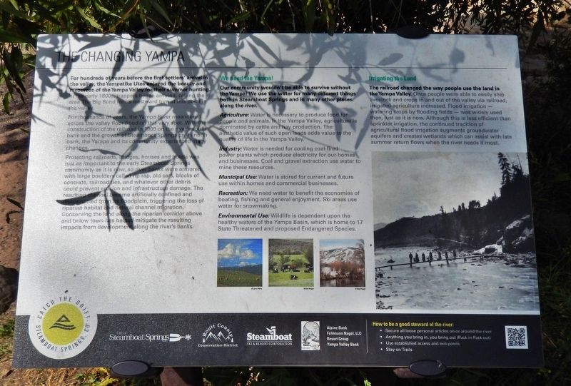
The Changing Yampa
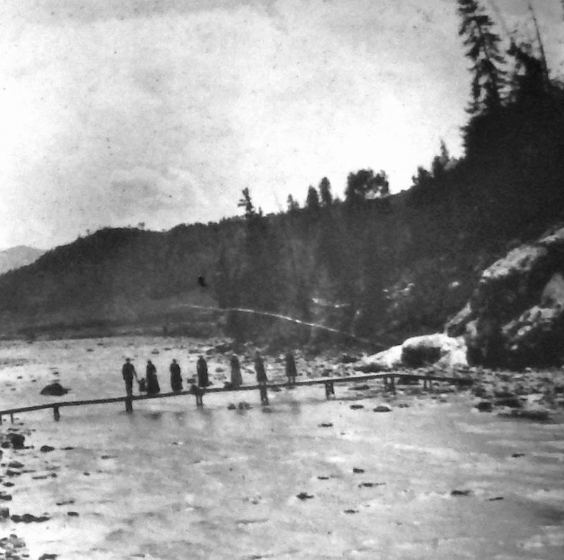
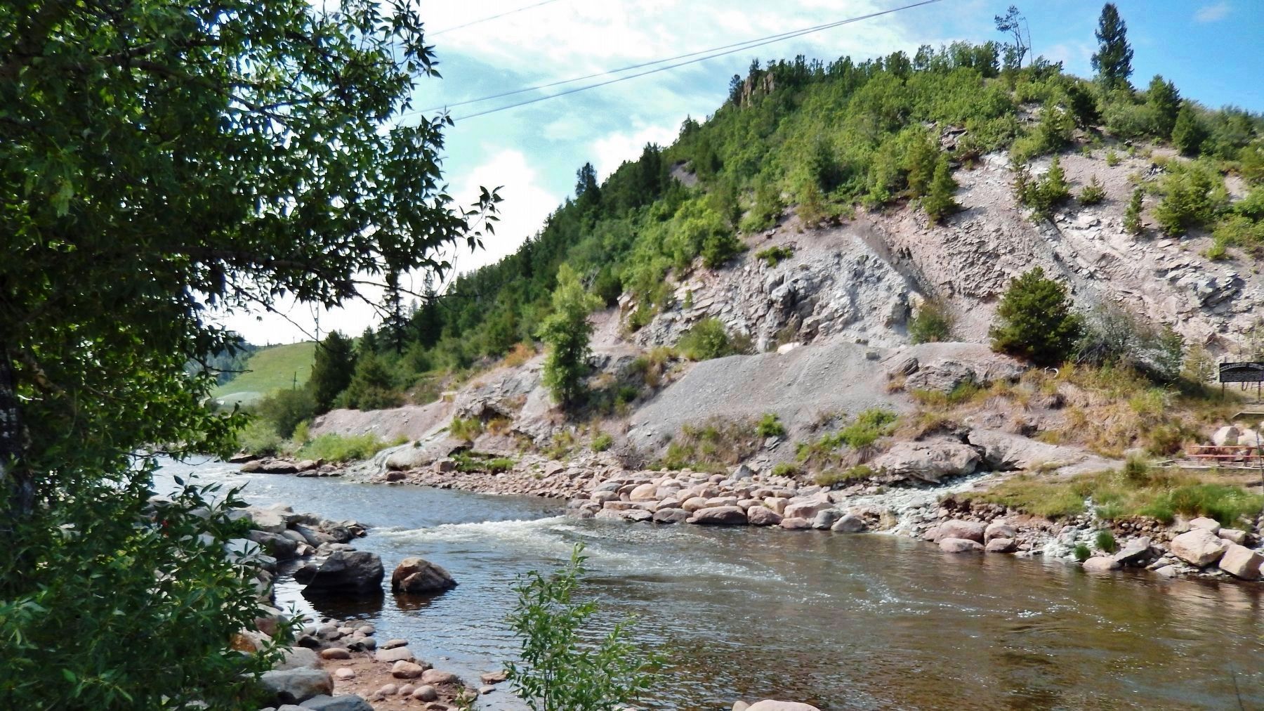
For thousands of years, the Yampa River meandered across the valley floor flooding this very spot. With the construction of the railroad in 1909 on the river’s south bank and the growth of Steamboat Springs on its north bank, the Yampa and its community experienced many changes.
Protecting railroads, bridges, houses and hotels was just as important to the early Steamboat Springs community as it is now, so river banks were armored with large boulders called rip rap, old cars, blocks of concrete, railroad ties, and whatever other debris could prevent erosion and infrastructure damage. The resulting channel became artificially confined and disconnected from its floodplain, triggering the loss of riparian habitat and natural channel migration.
Conserving the land along the riparian corridor above and below town has helped mitigate the resulting impacts from development along the river’s banks.
We need the Yampa!
Our community wouldn’t be able to survive without the Yampa! We use the water for many different things both in Steamboat Springs and in many other places along the river.
Agriculture: Water is necessary to produce food for people and animals. In the Yampa Valley, agriculture is dominated by cattle and hay production. The aesthetic value of such open lands adds value to the quality of life in the Yampa Valley.
Industry: Water is needed for cooling coal-fired power plants which produce electricity for our homes and businesses. Coal and gravel extraction use water to mine these resources.
Municipal Use: Water is stored for current and future use within homes and commercial businesses.
Recreation: We need water to benefit the economies of boating, fishing and general enjoyment. Ski areas use water for snowmaking.
Environmental Use: Wildlife is dependent upon the healthy waters of the Yampa Basin, which is home to 17 State Threatened and proposed Endangered Species.
Irrigating the Land
The railroad changed the way people use the land in the Yampa Valley. Once people were able to easily ship livestock and crops in and out of the valley via railroad, irrigated agriculture increased. Flood irrigation — watering crops by flooding fields — was widely used then, just as it is now. Although this is less efficient than sprinkler irrigation, the continued tradition of agricultural flood irrigation augments groundwater aquifers and creates wetlands which can assist with late summer return flows when the river needs it most.
Erected by City of Steamboat Springs, Routt County Conservation District, and Steamboat Ski & Resort Corporation.
Topics. This historical marker is listed in these topic lists: Agriculture • Native Americans • Settlements & Settlers • Waterways & Vessels. A significant historical year for this entry is 1909.
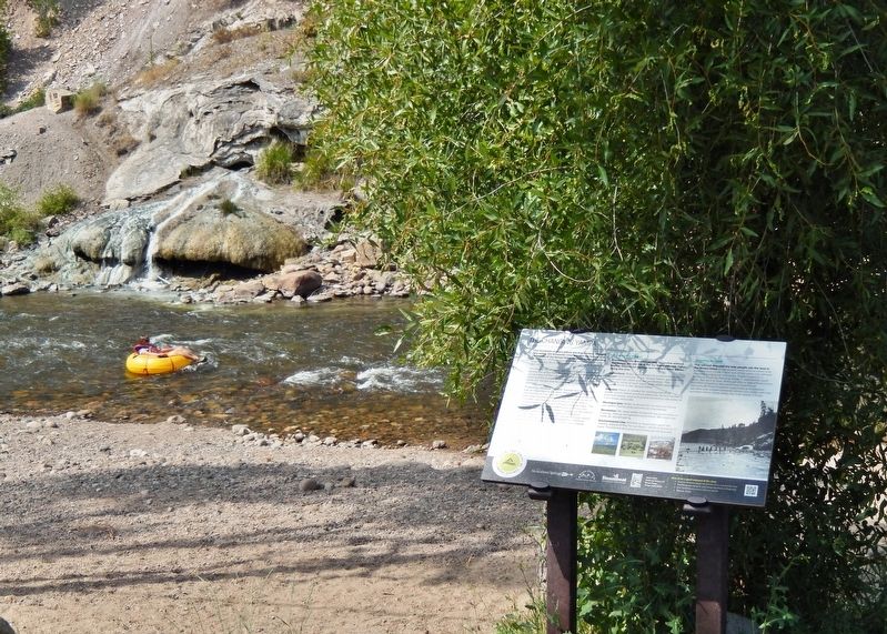
Location. 40° 29.321′ N, 106° 50.451′ W. Marker is in Steamboat Springs, Colorado, in Routt County. Marker can be reached from 13th Street (County Road 33) just west of Lincoln Avenue (U.S. 40), on the left when traveling west. Marker is located on the Yampa River Core Trail, just south of 13th Street, overlooking the Yampa River. Touch for map. Marker is at or near this postal address: 1289 Lincoln Avenue, Steamboat Springs CO 80487, United States of America. Touch for directions.
Other nearby markers. At least 4 other markers are within walking distance of this marker. Steamboat Spring (within shouting distance of this marker); Sulphur Spring (about 400 feet away, measured in a direct line); Steamboat Springs Depot (about 500 feet away); Chamber Celebrates Centennial (approx. 0.6 miles away).
Also see . . . History of Steamboat Springs.
The Yampa Valley was the summer hunting grounds of the Ute Indians for hundreds of years. The Yampatika Ute and Arapaho tribes also visited the area for its mineral or “medicine” springs considered sacred places of physical and spiritual healing. (Submitted on September 9, 2020, by Cosmos Mariner of Cape Canaveral, Florida.)
Credits. This page was last revised on September 9, 2020. It was originally submitted on September 8, 2020, by Cosmos Mariner of Cape Canaveral, Florida. This page has been viewed 132 times since then and 8 times this year. Photos: 1, 2, 3, 4. submitted on September 9, 2020, by Cosmos Mariner of Cape Canaveral, Florida.


