Downtown in Rochester in Monroe County, New York — The American Northeast (Mid-Atlantic)
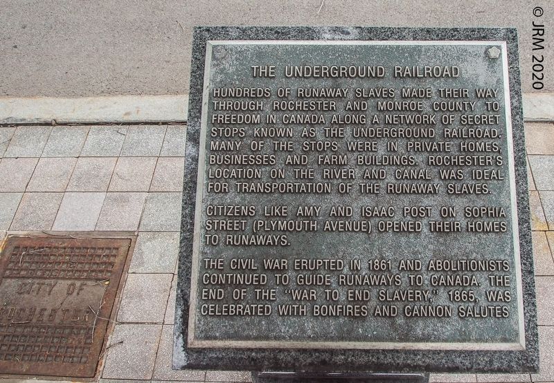
The Underground Railroad
Citizens like Amy and Isaac Post on Sophia Street (Plymouth Avenue) opened their homes to runaways.
The Civil War erupted in 1861 and abolitionists continued to guide runaways to Canada. The end of the "War to End Slavery," 1865, was celebrated with bonfires and cannon salutes.
Topics. This historical marker is listed in these topic lists: Abolition & Underground RR • African Americans • Civil Rights • War, US Civil. A significant historical year for this entry is 1861.
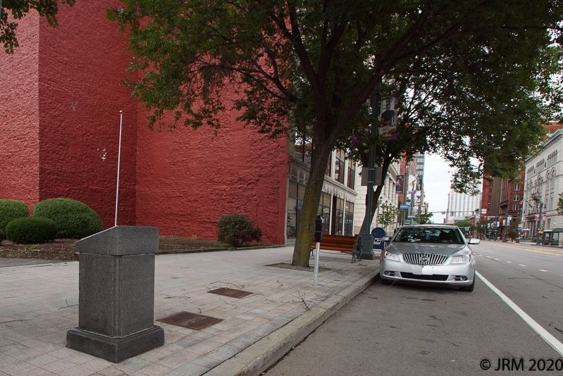
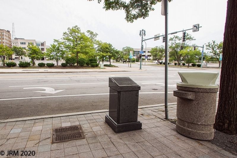
Location. 43° 9.31′ N, 77° 36.921′ W. Marker is in Rochester, New York, in Monroe County. It is in Downtown. Marker is at the intersection of West Main Street and North Plymouth Avenue, on the right when traveling west on West Main Street. Touch for map. Marker is at or near this postal address: 100 West Main Street, Rochester NY 14614, United States of America. Touch for directions.
Other nearby markers. At least 8 other markers are within walking distance of this marker. Rochester: Center of Freedom (within shouting distance of this marker); Post House (about 300 feet away, measured in a direct line); Monroe County (about 300 feet away); City of Rochester (about 300 feet away); Pioneer School (about 400 feet away); St. Luke's Episcopal Church (about 400 feet away); County of Monroe (about 400 feet away); Early Education (about 400 feet away). Touch for a list and map of all markers in Rochester.
Credits. This page was last revised on February 16, 2023. It was originally submitted on September 14, 2020, by Lugnuts of Germantown, Wisconsin. This page has been viewed 221 times since then and 41 times this year. Photos: 1, 2, 3. submitted on September 14, 2020, by Lugnuts of Germantown, Wisconsin. • Bernard Fisher was the editor who published this page.


