Near Berkeley Springs in Morgan County, West Virginia — The American South (Appalachia)
Overlook at Cacapon State Park
Washington Heritage Trail
Inscription.
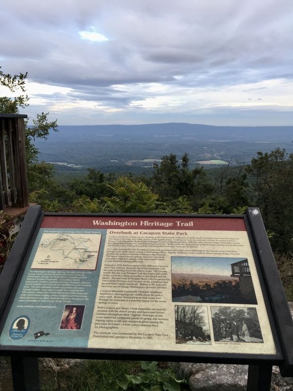
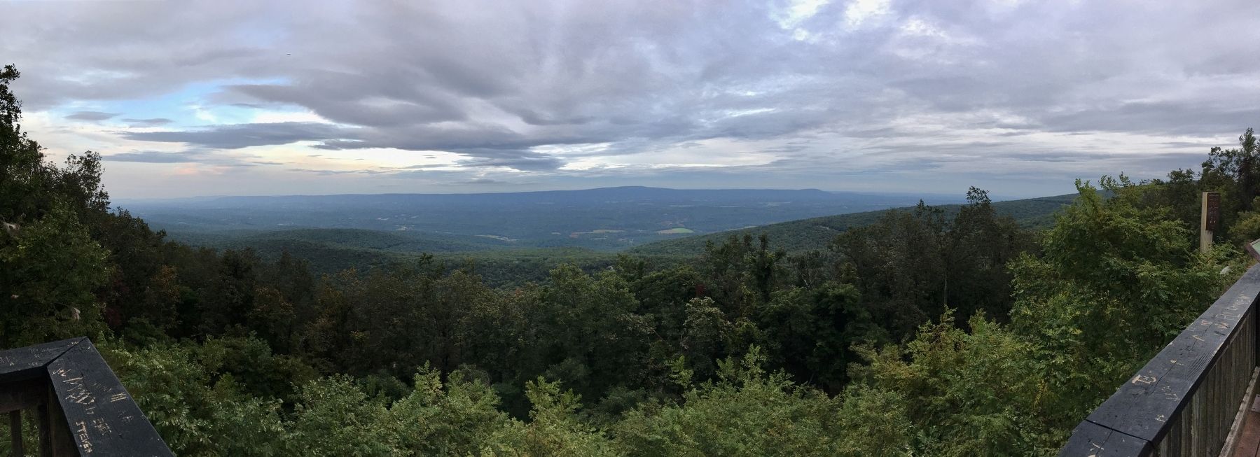
Cacapon Mountain, where you are standing, is the westernmost of the pair of north/south mountains that mark the region as belonging to the ridge and valley section of the Appalachians. Looking out from the overlook, you see its eastern partner—Sleepy Creek Mountain. To the south is Morgan County’s highest elevation, 2320 feet, near where Cacapon Mountain crosses into Hampshire County, WV and Frederick County, VA. To the north, the view extends to the Potomac and beyond to Maryland and Pennsylvania making it one of the rare locations where four states can be viewed.
The valley between the two mountains is the most populated area of the county and leads to the historic town of Berkeley Springs to the north before ending at the Potomac River. Slightly northeast of your location, Warm Springs Ridge rises and parallels the mountain as both continue to the Potomac. The famed warm mineral springs arise in a very small area of the ridge and emerge in the town center which is now Berkeley Springs State Park.
Formed in 1933, the boundaries of the 6000-acre Cacapon State Park were set along the top of this mountain with the park spreading down the eastern slope. The 12-mile mostly flat, fire road Prospect Trail that begins just north of the overlook is easily accessible on horseback and for hikers. The trail ends at Prospect Rock with its spectacular views of the Potomac and Cacapon rivers, a popular spot for countless visitors and locals. Riding to the rock and view was one of George Washington’s favorite activities.
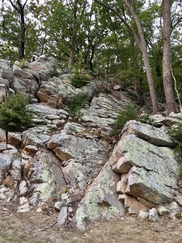
Cacapon Mountain is primarily Oriskany sandstone. Impressive outcroppings are visible along the park’s entry road. Recent studies propose that water flow through the mountain is a possible source for the warm springs in town.
Both Cacapon and Sleepy Creek mountains are heavily wooded with the mixed conifer and hardwood forests common throughout West Virginia. This type of tree cover makes for variegated greens in spring and summer, blazing colors in fall and occasional green among the bare trees in winter—a four season treasure trove for photographers.
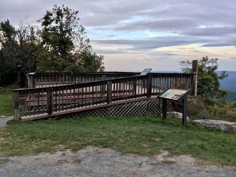
The overlook was constructed by the Cacapon State Park Foundation and opened to the public in 2007.
(Sidebar)
The Washington Heritage Trail is a 136-mile national scenic byway inspired by the prominent footsteps of George Washington through the three historic counties of West Virginia’s Eastern Panhandle. Compelling history, spectacular scenery, geologic wonders, recreation and year ‘round activities and festivals are highlighted by 45 historical sites. The trail meanders across mountains and rivers, through forests, farms and orchards as it connects five 18th century towns that remain the center of life today and offer comfortable lodging, unique shopping and fine dining. More information on attractions and services throughout the area is available at each town’s Visitor Center.
Erected 2007.
Topics and series. This historical marker is listed in these topic lists: Colonial Era • Exploration • Natural Features • Parks & Recreational Areas. In addition, it is included in the Former U.S. Presidents: #01 George Washington, and the West Virginia, Washington Heritage Trail series lists. A significant historical year for this entry is 1769.
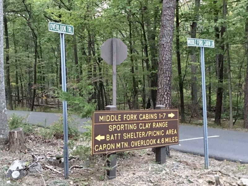
Location. 39° 28.25′ N, 78° 20.631′ W. Marker is near Berkeley Springs, West Virginia, in Morgan County. Marker can be reached from Overlook Trail, 4.6 miles south of Middle Fork Cabin Lane, on the right. The marker and viewing deck are at the end/top of Overlook Trail. When the pavement gives way to gravel, the incline increases and the drivable trail is strewn with rocks and potholes. The metal gates just beyond the directional signage at the bottom of the trail close at dusk. Touch for map. Marker is in this post office area: Berkeley Springs WV 25411, United States of America. Touch for directions.
Other nearby markers. At least 8 other markers are within 4 miles of this marker, measured as the crow flies. Cacapon Mountain Overlook (a few steps from this marker); Ridge Fish Hatchery (approx. 1.8 miles away); West Virginia (Morgan County) / Virginia (approx. 2.6 miles away); Cacapon State Park (approx. 3 miles away); Cacapon State Park Playground Equipment (approx. 3.1 miles away); Cacapon State Park Picnic Grills (approx. 3.2 miles away); Oriskany Sand (approx. 3.4 miles away); Welcome to Cacapon State Park (approx. 3.4 miles away). Touch for a list and map of all markers in Berkeley Springs.
More about this marker. There is a parking area at the top of the trail, next to the viewing deck. The panorama is spectacular. Another one of those "George was here" kind of places.
Regarding Overlook at Cacapon State Park. Territory was part of Lord Fairfax's Northern Neck land grant, surveyed by George Washington in the late 1740's. There are references to the Warm Springs (present day Berkeley Springs) in his journal notes from August of 1769.
Also see . . . The Washington Heritage Trail in Morgan County. Berkley Springs website entry (Submitted on June 16, 2023, by Larry Gertner of New York, New York.)
Additional keywords. George Washington
Credits. This page was last revised on June 16, 2023. It was originally submitted on September 26, 2020, by T. Elizabeth Renich of Winchester, Virginia. This page has been viewed 1,082 times since then and 170 times this year. Photos: 1, 2, 3, 4, 5. submitted on September 26, 2020, by T. Elizabeth Renich of Winchester, Virginia. • Devry Becker Jones was the editor who published this page.
