Radium Springs in Doña Ana County, New Mexico — The American Mountains (Southwest)
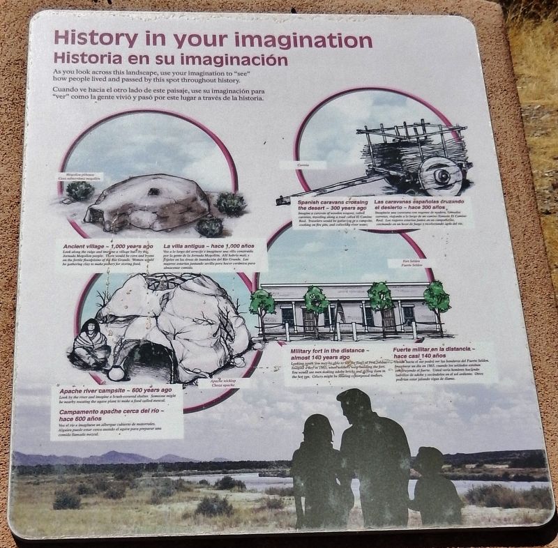
History in Your Imagination
Historia en su imaginación
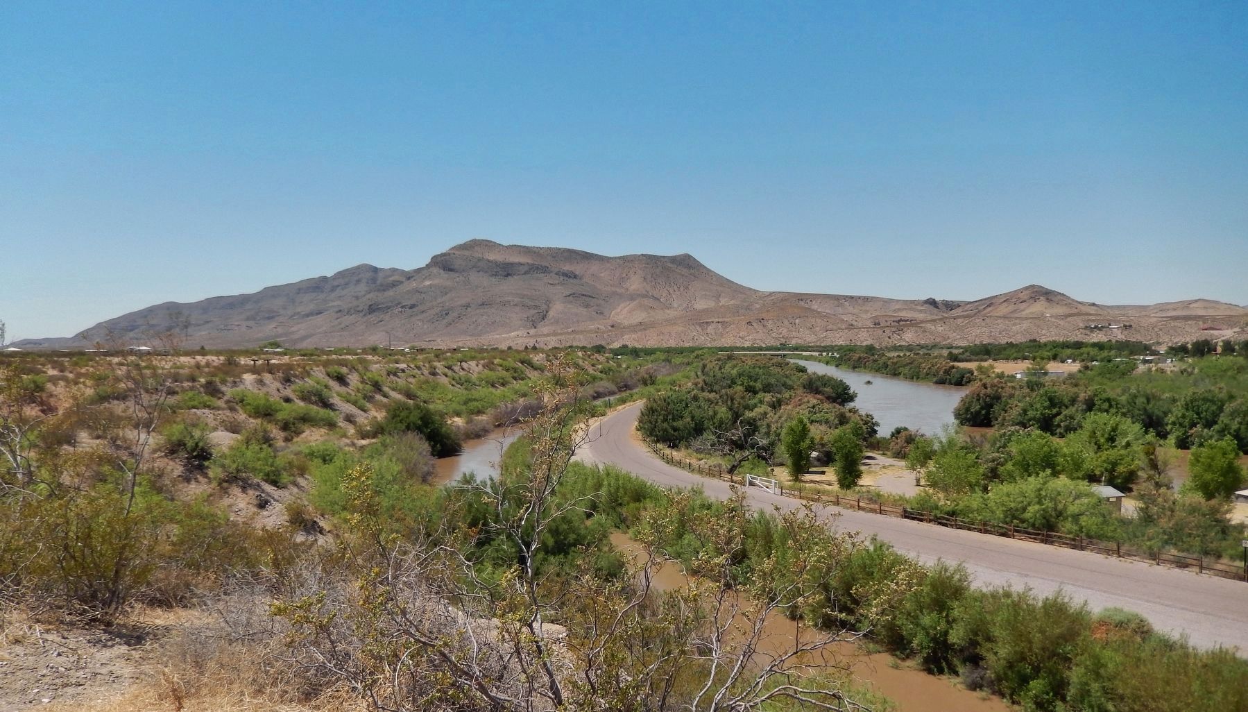
As you look across this landscape, use your imagination to "see" how people lived and passed by this spot throughout history.
Ancient village — 1,000 years ago
Look along the ridge and imagine a village built by the Jornada Mogollon people. There would be corn and beans on the fertile floodplains of the Rio Grande. Women would be gathering clay to make pottery for storing food.
Apache river campsite — 600 years ago
Look by the river and imagine a brush-covered shelter. Someone might be nearby roasting the agave plant to make a food called mescal.
Spanish caravans crossing the desert — 300 years ago
Imagine a caravan of wooden wagons called carretas, traveling along a road called El Camino Real. Travelers would be gathering at a campsite, cooking on fire pits, and collecting river water.
Military fort in the distance — almost 140 years ago
Looking south you may be able to see the flag at Fort Selden. Imagine a day in 1863, when soldiers were building the fort. You would see men making adobe bricks and drying them in the hot sun. Others might be hauling cottonwood timbers.
Cuando ve hacia el otro lado de este paisaje, use su imaginación para "ver" como la gente vivió y pasó por este lugar a través de la historia.
La villa antigua — hace 1,000 años
Mira a lo largo del arrecife e imagínese una villa construida por la gente de la Jornada Mogollón. Allí habría maíz y frijoles en las llanuras de inundación del Río Grande. La mujeres estarían recolectando arcilla para hacer cerámica para almacenar comida.
Campamento apache cerca del río — hace 600 años
Vea el rio e imagínese en albergue cubierto de matorrales. Alguien puede estar cerca arando el agave para preparar una comida llamada mezcal.
Las caravanas españolas cruzando el desierto — hace 300 años
Imagínese unas caravanas con vagones de madera, llamados carretas, viajando a la largo de un camino llamado El Camino Real. Los viajeros estarían en un campamento, cocinarían en fogatas y recogerían agua del río.
Fuerte militar en la distancia — hace casi 140 años
Mirando hacia el sur podrá ver las banderas del Fuerte Selden. Imagínese un día en 1863, cuando los soldados estaban construyendo el fuerte. Usted vería hombres haciendo ladrillos de adobe y secándolos en el sol ardiente. Otros podrían estar jalando vigas de álamo.
Topics.
This historical marker is listed in these topic lists: Forts and Castles • Native Americans • Roads & Vehicles • Waterways & Vessels.
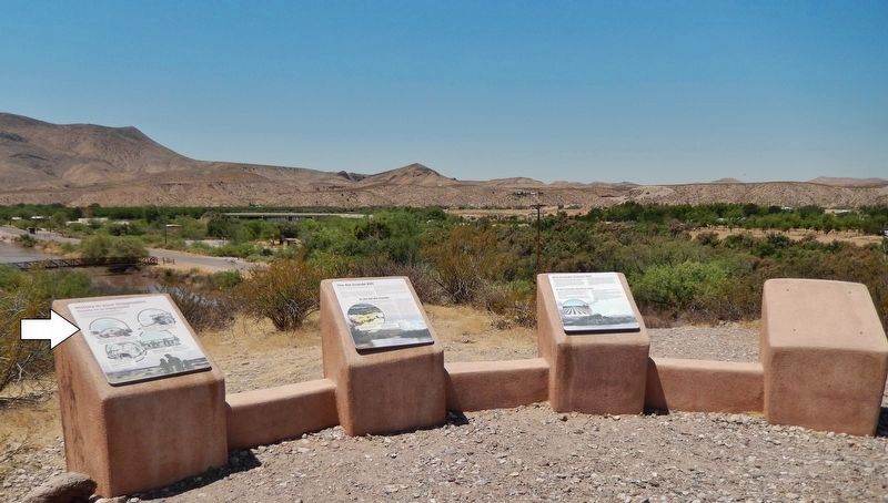
Location. 32° 29.517′ N, 106° 55.314′ W. Marker is in Radium Springs, New Mexico, in Doña Ana County. Marker can be reached from Dona Ana Road, 0.7 miles north of Fort Selden Road, on the right when traveling north. Marker is located along the Upper Mogollon Trail in Leasburg Dam State Park, overlooking the Leasburg Canal and the Rio Grande River. Touch for map. Marker is in this post office area: Radium Springs NM 88054, United States of America. Touch for directions.
Other nearby markers. At least 8 other markers are within 4 miles of this marker, measured as the crow flies. Rio Grande Means Life (here, next to this marker); Rio Grande Bosque (approx. 0.2 miles away); A Diversion Dam for the Valley (approx. 0.2 miles away); Changing Upland Plants (approx. 0.2 miles away); Fort Selden Cemetery (approx. 0.3 miles away); Rio Grandé Bridge at Radium Springs (approx. 0.4 miles away); Paraje de Robledo (approx. 0.6 miles away); Paraje San Diego (approx. 4.1 miles away). Touch for a list and map of all markers in Radium Springs.
Also see . . .
1. The Jornada Mogollon. The western tip of Texas and adjacent areas of southern New Mexico and northern Mexico have a distinctive archeological tradition known as the Jornada Mogollon. The "jornada" comes from the Jornado del Muerto—journey of death—a reference to a desolate stretch of the Camino Real (King's highway) used by the Spanish on their way north from El Paso to Sante Fe. (Submitted on October 18, 2020, by Cosmos Mariner of Cape Canaveral, Florida.)
2. Fort Selden Historic Site. Today, Fort Selden stands as a ghost of itself in the shadow of the soft-curving Robledo Mountains. The fort’s random collection of crumbling adobe walls and earthen mounds suggests a once-extensive series of 15 to 20 buildings laid out, in traditional military fashion, in a rectangle around a central parade ground. (Submitted on October 18, 2020, by Cosmos Mariner of Cape Canaveral, Florida.)
Credits. This page was last revised on October 18, 2020. It was originally submitted on October 17, 2020, by Cosmos Mariner of Cape Canaveral, Florida. This page has been viewed 104 times since then and 7 times this year. Photos: 1, 2. submitted on October 17, 2020, by Cosmos Mariner of Cape Canaveral, Florida. 3. submitted on October 18, 2020, by Cosmos Mariner of Cape Canaveral, Florida.


