Yuma in Yuma County, Arizona — The American Mountains (Southwest)
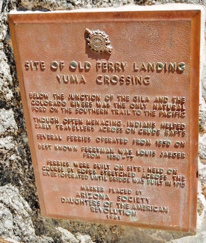
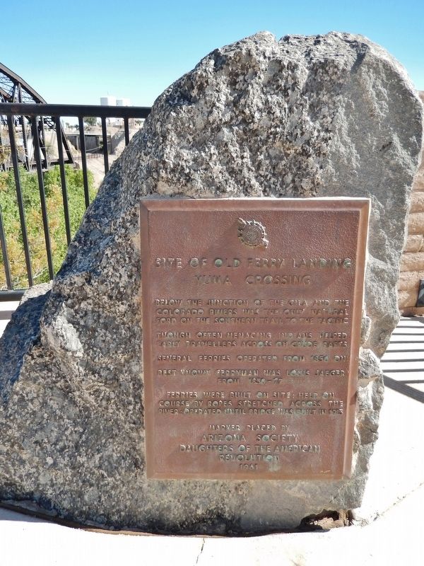
Site of Old Ferry Landing
Yuma Crossing
Though often menacing, Indians helped early travelers across on crude rafts.
Several ferries operated from 1850 on.
Best known ferryman was Louis Jaeger, from 1850-77.
Ferries were built on site; held on course by ropes stretched across the river; operated until bridge was built in 1915.
Arizona Society
Daughters of the American
Revolution
1961
Erected 1961 by Arizona Society, Daughters of the American Revolution.
Topics and series. This historical marker is listed in these topic lists: Bridges & Viaducts • Native Americans • Settlements & Settlers • Waterways & Vessels. In addition, it is included in the Daughters of the American Revolution series list. A significant historical year for this entry is 1850.
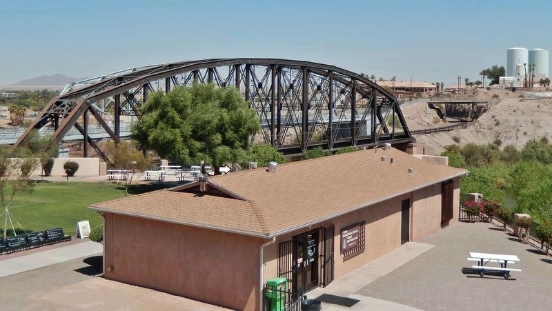
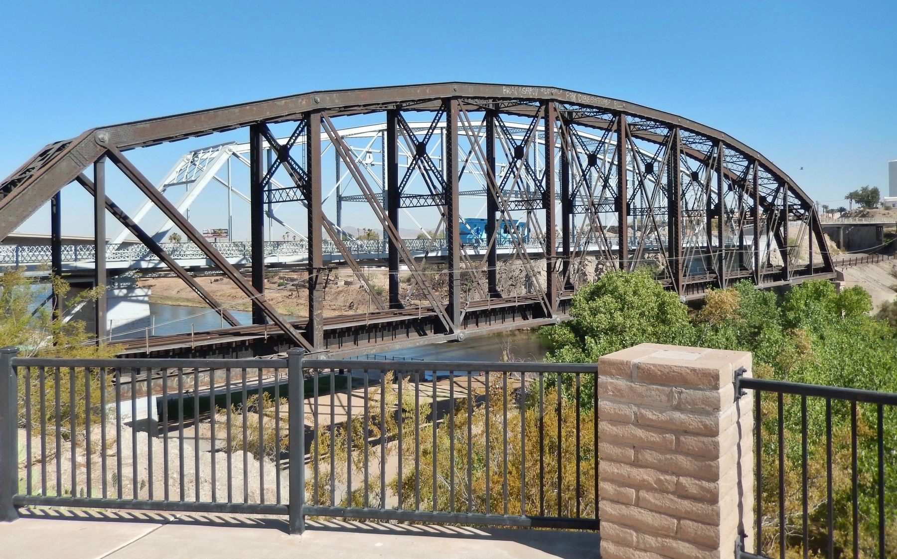
Location. 32° 43.682′ N, 114° 36.904′ W. Marker is in Yuma, Arizona, in Yuma County. Marker can be reached from Prison Hill Road, half a mile north of Harold C. Giss Parkway. Marker is located in Yuma Territorial Prison State Historic Park, overlooking the Colorado River and the Ocean-to-Ocean Highway Bridge. Touch for map. Marker is at or near this postal address: 220 Prison Hill Road, Yuma AZ 85364, United States of America. Touch for directions.
Other nearby markers. At least 8 other markers are within walking distance of this marker. "Ocean to Ocean" Highway Bridge (a few steps from this marker); "Indian Hill" (a few steps from this marker); The All-important Colorado River Crossing (a few steps from this marker); View of the Prison from Across the River (a few steps from this marker); Juan Bautista de Anza National Historic Trail (a few steps from this marker); Ocean-to-Ocean Highway Bridge (within shouting distance of this marker); Crossing Into History (within shouting distance of this marker); Drinking Water Life in the Desert (within shouting distance of this marker). Touch for a list and map of all markers in Yuma.
Also see . . .
1. Jaeger's Ferry (Wikipedia). Long a crossing point on the river, from the time of Juan Bautista de Anza it was used by Spaniards and later Mexicans, traveling from Sonora to Alta California and still later by American fur traders. After the Army arrived and built Fort Yuma, the ferry was purchased by L. J. F. Jaeger and his partners. Jaeger developed the ferry that could carry a wagon and team of horses between the California and Arizona shores. (Submitted on October 19, 2020, by Cosmos Mariner of Cape Canaveral, Florida.)
2. Steamboats of the Colorado River (Wikipedia). Yuma and Fort Yuma across the Colorado River (circa 1875 lithograph). Steamboat is downriver from the ferry crossing that is equipped with masts on both banks to raise the ferry's tow cables above the smokestacks of passing steamboats. (Submitted on October 19, 2020, by Cosmos Mariner of Cape Canaveral, Florida.)
Credits. This page was last revised on October 20, 2020. It was originally submitted on October 19, 2020, by Cosmos Mariner of Cape Canaveral, Florida. This page has been viewed 579 times since then and 85 times this year. Photos: 1, 2, 3, 4. submitted on October 19, 2020, by Cosmos Mariner of Cape Canaveral, Florida.


