Trailing Along
Wyoming Valley Levee System
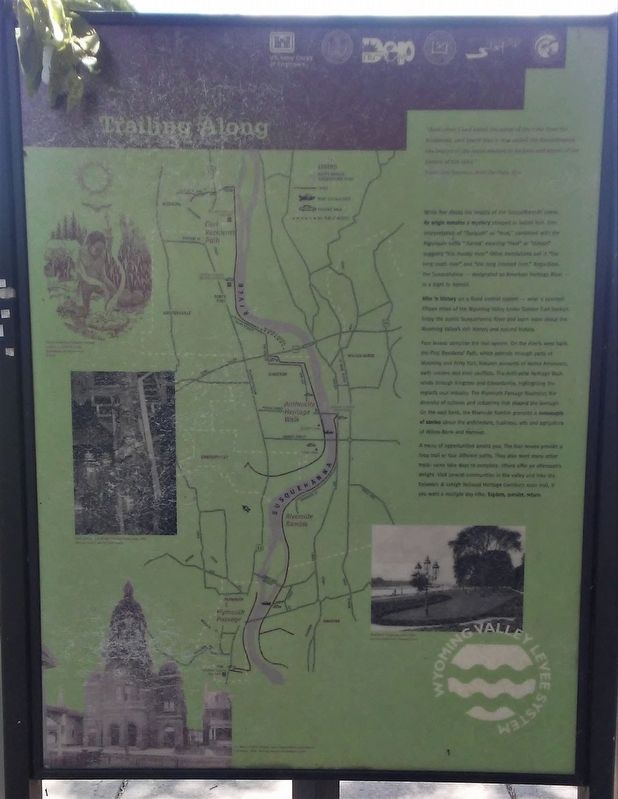
"And when I had asked the name of the river from the brakeman, and heard that it was called Susquehanna, the beauty of the name seemed to be part and parcel of the beauty of the land."
Robert Louis Stevenson, Across the Plains, 1879
While few doubt the beauty of the Susquehanna's name, its origin remains a mystery steeped in Indian lore. One interpretation of "Susqueh" as "mud," combined with the Algonquin suffix "-hanna" meaning "river" or "stream" suggests "the muddy river." Other translations call it "the long reach river" and "the long crooked river." Regardless, the Susquehanna — designated an American Heritage River — is a sight to behold.
Hike 'n History on a flood control system — what a concept! Fifteen miles of the Wyoming Valley Levee System Trail beckon. Enjoy the scenic Susquehanna River and learn more about the Wyoming Valley's rich history and natural history.
Four levees comprise the trail system. On the river's west bank, the First Residents' Path, which extends through parts of Wyoming and Forty Fort, features accounts of Native Americans, early settlers and their conflicts. The
this page online
A menu of opportunities awaits you. The four levees provide a loop trail or four different paths. They also meet many other trails: some take days to complete, others offer an afternoon's delight. Visit several communities in the valley and hike the Delaware & Lehigh National Heritage Corridor's main trail, if you want a multiple day hike. Explore, ponder, return.
[Levee Trails system map]
[Illustrations, top to bottom, left to right, read]
• Native American tobacco burning ceremony
• Coal mining - a job for men and boys, circa 1900
• St. Mary's Polish Church, one of many ethnic churches in Plymouth, 1918.
• The River Commons, circa 1900
Erected by Delaware & Lehigh National Heritage Corridor and Others.
Topics. This historical marker is listed in these topic
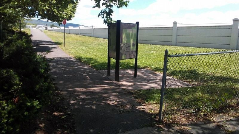
Location. 41° 16.75′ N, 75° 52.32′ W. Marker is in Forty Fort, Pennsylvania, in Luzerne County. It is on River Street north of Fort Street, on the right when traveling north. Touch for map. Marker is in this post office area: Kingston PA 18704, United States of America. Touch for directions.

Regionally, this marker is in Pennsylvania’s Anthracite Coal Region, in the Wyoming Valley, and in Greater Scranton and Wilkes-Barre. It is also in the American Northeast, in the Mid-Atlantic, in Appalachia, and specifically in Northern Appalachia. Globally, it is in North America, the Western Hemisphere, the Western World, and the Anglosphere. Historically, it finds itself in what was once the Haudenosaunee (Iroquois) Confederacy and also one of the original Thirteen Colonies.
Other nearby markers. At least 8 other markers are within walking distance of this marker: What on Earth is a Levee? (here, next to this marker); Welcome to the First Residents' Path (here, next to this marker); The Fort in Forty Fort (a few steps from this marker); Forty-Fort (within shouting distance of this marker); Forty Fort Meeting House (approx. 0.4 miles away); Wyoming Seminary Presidents' Lost Graves Memorial (approx. 0.4 miles away); James Bird (approx. 0.4 miles away); War Memorial (approx. 0.4 miles away). Touch for a list and map of all markers in Forty Fort.
Also see . . .
1. Delaware & Lehigh National Heritage Corridor. (Submitted on November 5, 2020, by William Fischer, Jr. of Reynoldsburg, Ohio.)
2. Luzerne County Levee Trail. (Submitted on November 5, 2020, by William Fischer, Jr. of Reynoldsburg, Ohio.)
3. Wyoming Valley Levee System (The Citizens' Voice, 2012). (Submitted on November 5, 2020, by William Fischer, Jr. of Reynoldsburg, Ohio.)
Credits. This page was last revised on November 5, 2020. It was originally submitted on November 5, 2020, by William Fischer, Jr. of Reynoldsburg, Ohio. This page has been viewed 277 times since then and 10 times this year. Photos: 1, 2. submitted on November 5, 2020, by William Fischer, Jr. of Reynoldsburg, Ohio.
